
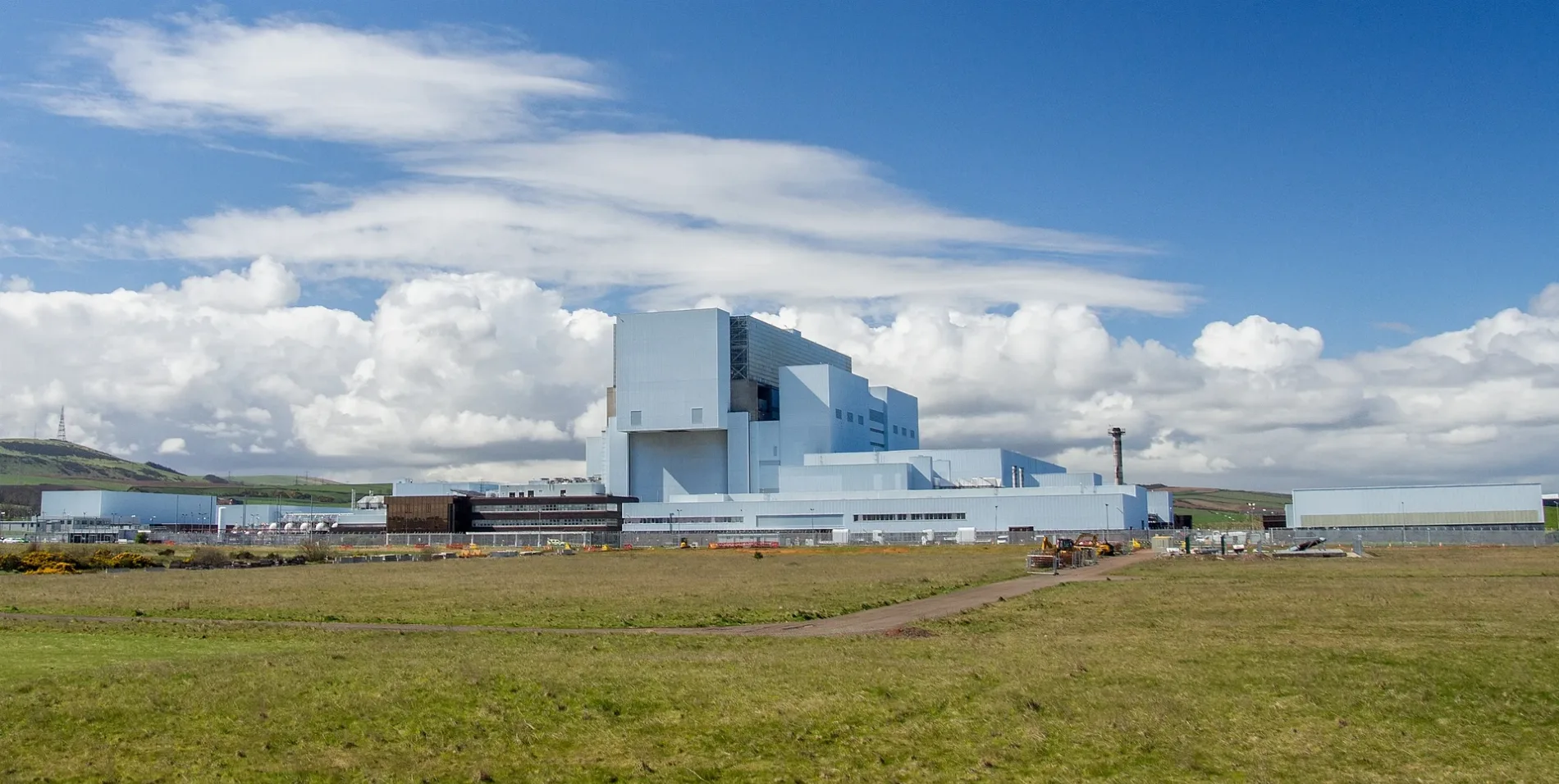
Torness Nuclear Power Station in East Lothian
Torness Nuclear Power Station in East Lothian is a power plant (EDF Energy, nuclear) (EH42 1QS). Torness Nuclear Power Station is also known as Torness power station. Torness Nuclear Power Station is near Thornton Bridge. Ⓦ.
- Postal Code
- EH42 1QS
- Land Use
- industrial area
- Operator
- EDF Energy
- Website
- https://www.edfenergy.com/about-us/energy-generation/nuclear-generation/nuclear-power-stations/torness.shtml
Image
Chalet
Hotels
Fountains
Bus stops
Tourist information offices
Artwork
Roads nearby
Thornton Bridge2,2 km
Barns Ness TerraceInnerwick War Memorial, Innerwick
2,8 km
Kirk Brae2,9 km
Back Lane3,1 km
Manse ViewInnerwick
3,1 km
Temple Mains Steading3,2 km
Bilsdean BridgeBilsdean
3,2 km
Dunglass Bridge3,9 km
Dunglass Old Bridge3,9 km
Buildings nearby
Torness Substation550 m
Torness600 m
Innerwick Telephone Exchange3,0 km
Innerwick Residential Centre3,1 km
West Lodge3,2 km
Farm Lodge3,3 km
Old Gardener's House3,5 km
Gardener's House3,5 km
East Lodge3,9 km
Dunglass Collegiate Church3,9 km
Community centres nearby
Innerwick Village Hall2,9 km
Constructions nearby
Eastern Green Link 1 Converter Station3,2 km
Detached houses nearby
Thurston Home Farm Cottages3,2 km
Farmyards nearby
Crowhill1,7 km
Linkshead1,8 km
Lawfield2,4 km
Innerwick Farm2,7 km
Branxton2,8 km
Birnieknowes3,0 km
Oldhamstocks Mains3,6 km
Forests nearby
Gallows Law Plantation3,6 km
Gardens nearby
Walled Garden3,6 km
Houses nearby
Merse Lodge4,0 km
Industrial buildings nearby
Lime Kiln950 m
Landfills nearby
Dunbar Landfill2,8 km
Places of worship nearby
Innerwick Parish Church3,0 km
Quarries nearby
Dunbar Quarry3,0 km
Railwaies nearby
Transfer Station1,8 km
Railway lines nearby
Torness Siding1,9 km
East Coast Main Line2,1 km
Residential areas nearby
Links Cottage1,1 km
Station House1,2 km
Skateraw Gate1,4 km
Closehead4,0 km
Castle Dykes4,1 km
Streams nearby
Thornton Burn1,1 km
Braidwood Burn2,9 km
Dry Burn3,0 km
Bilsdean Burn3,7 km
Dunglass Burn4,1 km
| Located in | East Lothian |
|---|---|
| Country | United Kingdom |
| Power output | 1190 |
 Public transport map East Lothian Legend
| Railway | |
| Bus | |
| Tram |
 Cycling map East Lothian Legend
| Cycle path | |
| Cycle lane on road | |
| Cycling on bus lane | |
| Bicycle street | |
| Cyclists allowed | |
| Cyclists allowed, good surface | |
| No cycling | |
| Cobblestones |
| Long-distance cycle route | (depending on scale) | |
| Long-distance cycle route |
 Walking map East Lothian Legend
| Path |
| Long-distance hiking trail | (depending on scale) | |
| Long-distance hiking trail | ||
| No pedestrians |