
Springfield Court in Ballifeary
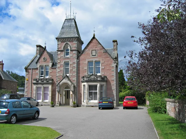
Springfield Court in Highland, Ballifeary is a lit residential street and runs in a north-south direction and ends at Springfield Gardens.
- Road Type
- residential street
- Speed Limit
- 20 mph
- Route
- north-south
Image
Cafés
Tourist information offices
Drinking water fountains
Bus stops
Guest house
Fast food restaurants
Convenience stores
Kiosks
Roads nearby
Springfield Gardens100 m
Warrand Road100 m
Wellingtonia Court150 m
Dunachton Road200 m
Ballifeary RoadBallifeary, Struy Guest House
200 m
Bishops Park250 m
Ballifeary Lane250 m
Ness Walk300 m
Riverside Gardens300 m
Royal Ness Court350 m
Ladies WalkForbes Fountain
350 m
Bught Road400 m
Torvean AvenueBught Park Stores
400 m
Islands CourtIsland Bank Rd
450 m
Elm Park500 m
Great Glen Way - Slighe a' Ghlinne Mhòir500 m
Bught Avenue600 m
Glenburn DriveDrummond
650 m
Island Bank RoadIsland Bank Rd, Island Bank Road
700 m
Rosedene Court750 m
Drummond CrescentRossal house apartments
750 m
Drummond Circus800 m
Bandstands nearby
Bellfield Park Bandstand450 m
Beauty salons nearby
Rosedene House650 m
Campsite nearby
Bught Caravan & Campsite450 m
Chalet nearby
Ladies Lodge300 m
Commercial buildings nearby
CMS Highland650 m
Doctor's practice nearby
Riverside Medical Practice250 m
Gardens nearby
Cavell Gardens450 m
Guest house nearby
Kinnoch Lodge250 m
Hospital nearby
Royal Northern Infirmary250 m
Hotels nearby
Ness Walk Hotel200 m
Houses nearby
Balmaghie450 m
Miniature golfs nearby
Inverness Crazy Golf700 m
Parks nearby
Bught Park150 m
Places of worship nearby
The Church of Jesus Christ of Latter-day Saints200 m
Royal Northern Infirmary Chapel300 m
Rivers nearby
River Ness650 m
Social facilities nearby
Ballifeary House200 m
Ach an Eas Care Home600 m
Sports pitches nearby
Lister Park300 m
Inverness Skate Park700 m
Streams nearby
Ault na Skiach450 m
Theatres nearby
Florians Theatre550 m
Universities nearby
University of the Highlands & Islands300 m
Bryden Lodge350 m
Other nearby
Ness Walk Inverness250 m
R.N.I. S/S300 m
Torvean Ave400 m
 Public transport map Ballifeary Legend
| Railway | |
| Bus | |
| Tram |
 Cycling map Ballifeary Legend
| Cycle path | |
| Cycle lane on road | |
| Cycling on bus lane | |
| Bicycle street | |
| Cyclists allowed | |
| Cyclists allowed, good surface | |
| No cycling | |
| Cobblestones |
| Long-distance cycle route | (depending on scale) | |
| Long-distance cycle route |
 Walking map Ballifeary Legend
| Path |
| Long-distance hiking trail | (depending on scale) | |
| Long-distance hiking trail | ||
| No pedestrians |