
Glenmorangie Distillery and Visitor Centre in Highland
Glenmorangie Distillery and Visitor Centre in Highland is an industrial area. Ⓦ.
- Land Use
- industrial area
- Website
- https://www.glenmorangie.com/visit-us
Image
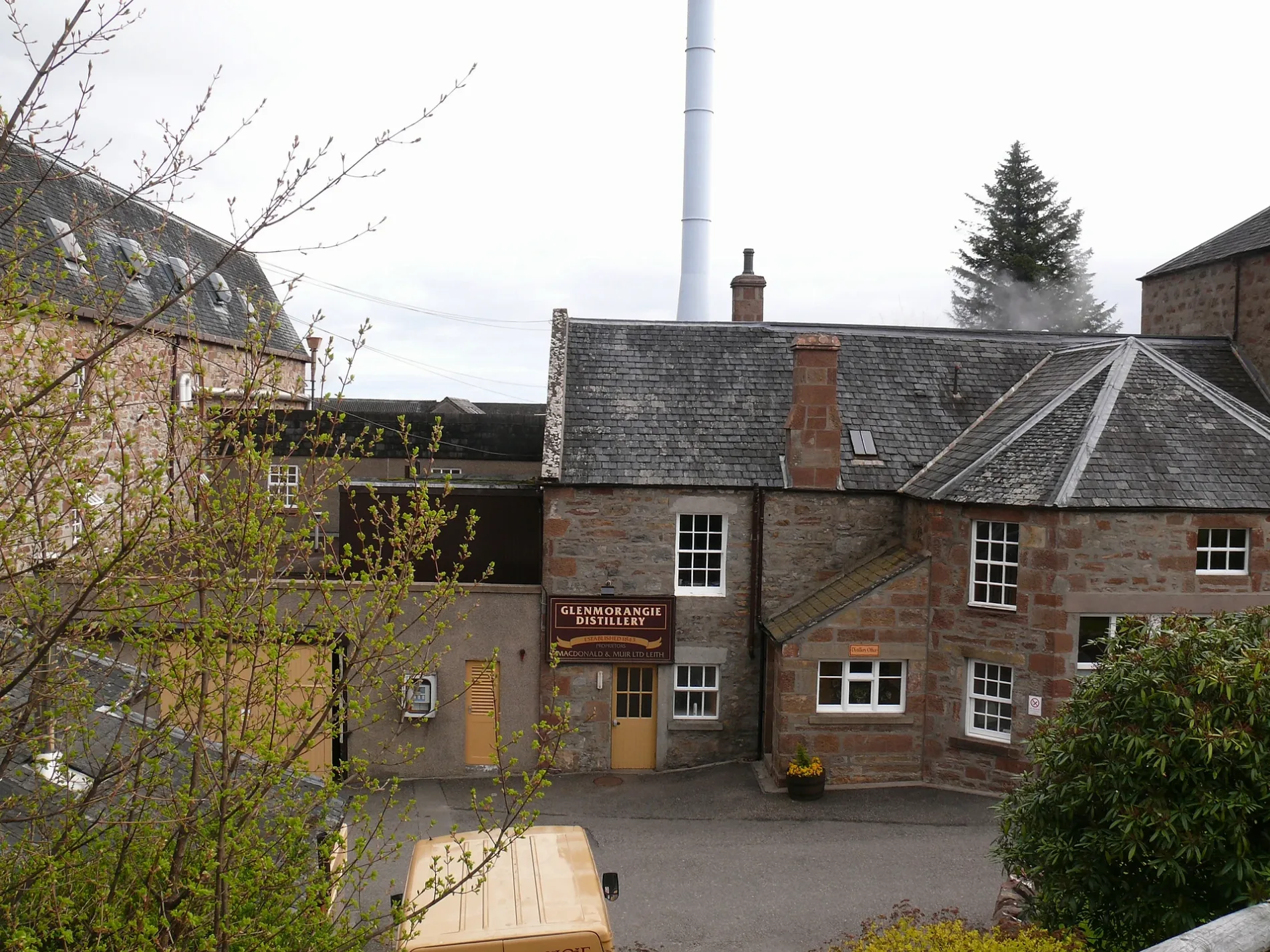
Roads nearby
Glenmorangie Drove200 m
Morangie RoadMorangie House Hotel, Home Bargains
1,0 km
St. Mary's Well1,3 km
Springfield Gardens1,4 km
Duthac Wynd1,4 km
Moss Road (path)1,5 km
Canmore Way1,5 km
Mayfield Wynd1,6 km
Stagcroft Park1,6 km
Moss Road1,6 km
Murray Street1,6 km
Dunrobin Buildings1,7 km
Well StreetCarnegie Cafe
1,7 km
Ardross Terrace1,7 km
Hill StreetTain Laundry & Ironing, Dingwall Hill Street (o/s Royal Hotel), The Royal Guest House, Fraser Brothers Family Butchers, Tailwaggers Dog Grooming Salon, Barber Shop
1,7 km
Dunrobin StreetHelmsdale Square, Thistle & Rose, La Mirage, Thyme and Plaice, Fish & Chips, Gifted, R. M. McLeods & Sons, Glencoast - Helmsdale. Fishing tackle
1,7 km
Academy StreetDuthac House, IV 10, Victoria Road, Rosebank School, Virgin and Child
1,7 km
Drummond Street1,7 km
Provost Ferguson Drive1,7 km
Gas Works Road1,8 km
Tarry Road1,8 km
Laundry Lane1,8 km
Manse Crescent1,8 km
Moss Road - Morangie Forest Link Path1,8 km
Shore RoadTartan Creations, Top Up Tap, Post Office, Ferry Stores
1,8 km
Glebe Crescent1,8 km
Manse Gardens1,9 km
Rose StreetLadbrokes, Clarks of Nairn
1,9 km
Quarry Road - Moss Road Link1,9 km
Manse Street1,9 km
St Andrew's Road1,9 km
Viewhill Crescent2,0 km
Buildings nearby
Tarlogie House1,2 km
Car repair shops nearby
Godsman Tyres & Exhausts Ltd1,4 km
Commercial buildings nearby
Glenmorangie Shop150 m
Detached houses nearby
Taligus1,6 km
Fitness centres nearby
Silverback Gym & Fitness1,4 km
Florist's nearby
The Flower Shop1,2 km
Guest house nearby
The Springfield Guest House1,4 km
Heatherdale1,7 km
Hotels nearby
Monangie House Hotel1,3 km
Industrial areas nearby
Blarlaith Industrial Estate1,5 km
Laundries nearby
Shore Road Laundry1,6 km
Petrol stations nearby
Morangie Filling Station1,2 km
Places of worship nearby
St Andrew's Episcopal Church1,8 km
Railway lines nearby
Far North Line1,4 km
Streams nearby
Morangie Burn600 m
Supermarkets nearby
Lidl1,1 km
Variety stores nearby
Home Bargains1,2 km
| Inception | 1843 |
|---|---|
| Located in | Highland |
| Country | United Kingdom |
 Public transport map Highland Legend
| Railway | |
| Bus | |
| Tram |
 Cycling map Highland Legend
| Cycle path | |
| Cycle lane on road | |
| Cycling on bus lane | |
| Bicycle street | |
| Cyclists allowed | |
| Cyclists allowed, good surface | |
| No cycling | |
| Cobblestones |
| Long-distance cycle route | (depending on scale) | |
| Long-distance cycle route |
 Walking map Highland Legend
| Path |
| Long-distance hiking trail | (depending on scale) | |
| Long-distance hiking trail | ||
| No pedestrians |