
Image
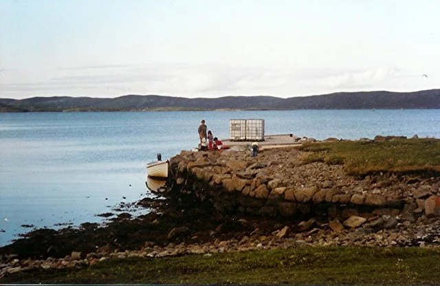
Nature nearby
Sanda Stour1,1 km
Sanda Little1,3 km
Hogg of Hildesay1,4 km
Hogg of Lings1,5 km
Linga1,6 km
The Nev1,6 km
Hoe Skerry2,0 km
Havra Skerry2,0 km
Langa2,2 km
Retta Skerries2,3 km
Swarta Skerry2,3 km
North Havra2,3 km
The Skult2,6 km
Easter Score Holm2,6 km
Silver Skerry2,7 km
North Score holm2,7 km
West Head of Papa2,8 km
Cheynies2,9 km
Spoose holm2,9 km
Hirpa Skerry3,1 km
Papa Skerry3,1 km
Snap3,2 km
Hogg of Oxna3,2 km
Papa3,4 km
Whaleback skerry3,4 km
Oxna3,4 km
Daa skerry3,5 km
Skervie Skerry3,6 km
The Skerry3,6 km
Black Skerry3,7 km
Braga3,8 km
Fore Holm3,9 km
Green Holm3,9 km
Bumant Stack4,1 km
Hoy4,2 km
Merry Holm4,3 km
Hoggs of Hoy4,6 km
Junk4,6 km
Atla Holm4,6 km
Beaches nearby
Reawick beach4,4 km
Body of waters nearby
Horse Loch3,9 km
Quarries nearby
Old Granite Quarry350 m
Screes nearby
Spoil Heap350 m
Straits nearby
Sound of Havra2,5 km
Sound of Hoy4,4 km
The Deeps4,4 km
Hogg Sound4,5 km
Streams nearby
Burn of Pundvoe3,8 km
| Area | 108 ha |
|---|---|
| Located in | Shetland Islands |
| Country | United Kingdom |
| Body of water | Atlantic Ocean |
| Part of | Shetland Islands |
 Public transport map Shetland Islands Legend
| Railway | |
| Bus | |
| Tram |
 Cycling map Shetland Islands Legend
| Cycle path | |
| Cycle lane on road | |
| Cycling on bus lane | |
| Bicycle street | |
| Cyclists allowed | |
| Cyclists allowed, good surface | |
| No cycling | |
| Cobblestones |
| Long-distance cycle route | (depending on scale) | |
| Long-distance cycle route |
 Walking map Shetland Islands Legend
| Path |
| Long-distance hiking trail | (depending on scale) | |
| Long-distance hiking trail | ||
| No pedestrians |