
Image
Roads nearby
Gudda Taing1,8 km
Atlaness1,9 km
Glenburn Road1,9 km
HighmountHamnavoe
1,9 km
GlenHamnavoe
2,0 km
Roadside2,1 km
HulsidaleHamnavoe Post Office
2,2 km
Duke Street2,3 km
Old School RoadTrondra
2,7 km
Port Arthur RoadPort Arthur, Da Haaf
2,8 km
Visitors Pier2,9 km
Ladysmith Road3,2 km
Westshore3,3 km
Hillside Road3,4 km
Nature nearby
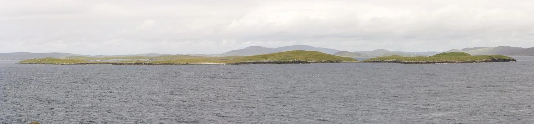
Papa Skerry400 m
Green Holm1,0 km
Black Skerry1,1 km
Skervie Skerry1,4 km
Whaleback skerry1,4 km
Merry Holm1,4 km
West Head of Papa1,5 km
Atla Holm1,5 km
Hoe Skerry1,7 km
Langa1,8 km
Linga1,8 km
Hogg of Lings1,9 km
Hogg of Hildesay2,1 km
Spoose holm2,1 km
Oxna2,3 km
Hogg of Oxna2,3 km
Cheynies2,4 km
Retta Skerries2,5 km
The Skerry3,2 km
Hildasay3,4 km
Beaches nearby
Meal Beach2,6 km
Body of waters nearby
Horse Loch2,2 km
Buildings nearby
Da Burra Shop2,0 km
Burra Public Hall2,1 km
Da Burra Garage2,5 km
Scalloway Boating Club2,9 km
Hamnavoe Telephone Exchange3,0 km
Norway House3,2 km
Places of worship nearby
Burra Baptist Church Hall2,1 km
Quarries nearby
Old Granite Quarry3,1 km
Screes nearby
Spoil Heap3,1 km
Straits nearby
The Deeps3,0 km
Stream Sound3,2 km
Streams nearby
Burn of Pundvoe2,3 km
Burn of Shalders-ayre2,7 km
| Located in | Shetland Islands |
|---|---|
| Country | United Kingdom |
| Body of water | Atlantic Ocean |
| Part of | Shetland Islands, Scalloway Islands |
 Public transport map Shetland Islands Legend
| Railway | |
| Bus | |
| Tram |
 Cycling map Shetland Islands Legend
| Cycle path | |
| Cycle lane on road | |
| Cycling on bus lane | |
| Bicycle street | |
| Cyclists allowed | |
| Cyclists allowed, good surface | |
| No cycling | |
| Cobblestones |
| Long-distance cycle route | (depending on scale) | |
| Long-distance cycle route |
 Walking map Shetland Islands Legend
| Path |
| Long-distance hiking trail | (depending on scale) | |
| Long-distance hiking trail | ||
| No pedestrians |