
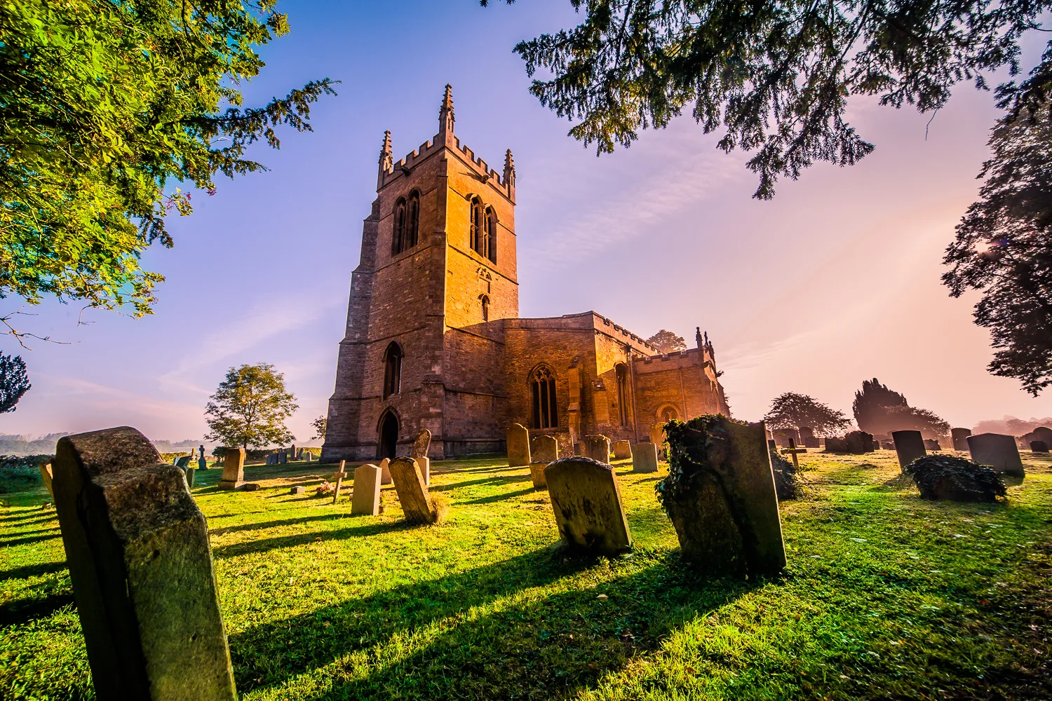
Church of All Saints in Riseley, Bedfordshire
Church of All Saints in Bedford, Riseley is a Anglicana church (MK44 1ER). It is near Litchfield and belongs to the Diocese of St Albans. The church is dedicated to All Saints' Day and was built in 1150. It is a listed building. Church of All Saints also exists in Norfolk, Somerset, North Somerset, Kent and Staffordshire. Ⓦ.
- Postal Code
- MK44 1ER
- Amenity
- place of worship
- Building Type
- church
Image
Convenience stores
Bar
Roads nearby
Church Lane200 m
Kings Close250 m
The Barns350 m
Litchfield350 m
High StreetRiseley, Londis, Brook House
350 m
Dag Lane350 m
Gold Street350 m
Paulsons Close500 m
Grahams Gardens500 m
Maple Gardens500 m
Rotten Row500 m
Beanfield Close500 m
The Orchard500 m
Davies Gardens500 m
Wells Road550 m
Dodds Close600 m
Bourne Road600 m
College Drive600 m
Spring Holme600 m
Waldock's Close650 m
Bowers Close650 m
Brooklands Road650 m
Bowers Lane700 m
Lowsdon Lane850 m
The Butts1000 m
Keysoe Road1,5 km
Knotting LaneSporting Targets
1,6 km
Riseley Road1,9 km
Bedford Autodrome North Activity Area2,1 km
Tourism nearby
Coldham Lodge1,3 km
Farmyards nearby
Mill Ponds700 m
Town Farm750 m
Sackville Lodge Farm750 m
Lodge Farm800 m
Riseley Lodge Farm950 m
Haring's Farm1,7 km
Mill Farm1,7 km
High Barn Farm1,8 km
Grange Farm2,0 km
Forests nearby
Keysoe Park Wood1,8 km
Gardens nearby
The Mallowry1,2 km
Parks nearby
Activity Centre1,8 km
Pubs nearby
Fox and Hounds450 m
Streams nearby
Riseley Brook800 m
Woodlands nearby
Worley's Wood1,5 km
Coldham Spinney1,7 km
Coppice Wood1,8 km
Galsey Wood2,0 km
Other nearby
Sackville Farm1,4 km
| Inception | 1150 |
|---|---|
| Dedicated to | All Saints' Day |
| Diocese | Diocese of St Albans |
| Heritage designation | Grade I listed building |
| Located in | Riseley |
| Country | United Kingdom |
 Public transport map Riseley Legend
| Railway | |
| Bus | |
| Tram |
 Cycling map Riseley Legend
| Cycle path | |
| Cycle lane on road | |
| Cycling on bus lane | |
| Bicycle street | |
| Cyclists allowed | |
| Cyclists allowed, good surface | |
| No cycling | |
| Cobblestones |
| Long-distance cycle route | (depending on scale) | |
| Long-distance cycle route |
 Walking map Riseley Legend
| Path |
| Long-distance hiking trail | (depending on scale) | |
| Long-distance hiking trail | ||
| No pedestrians |