
Wymington Meadow
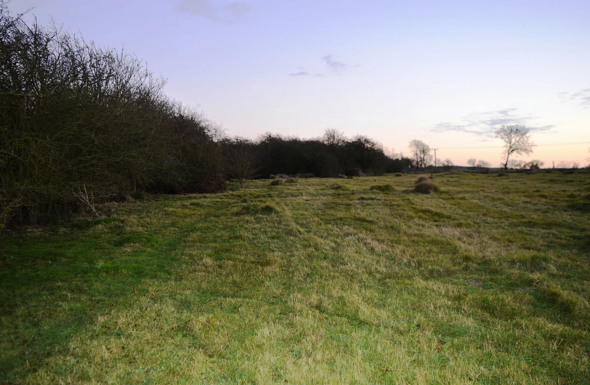
Wymington Meadow in Bedford, Wymington is a nature reserve (Wildlife Trust (Beds, Cambs and Northants)). Wymington Meadow is near Wymington Lane. Ⓦ.
- Leisure
- nature reserve
- Nature
- meadow
- Operator
- Wildlife Trust (Beds, Cambs and Northants)
Image
Roads nearby
Wymington LaneJunction with Bedford Road (SW-bound), Junction with Bedford Road (NE-bound)
1000 m
South Grove1,1 km
High StreetWymington
1,2 km
Podington Road1,2 km
Church Lane1,2 km
Brook Farm Close1,2 km
Church Close1,3 km
Manor Lane1,4 km
Rushden Road1,5 km
Green Lane1,8 km
Bedford RoadKingsmead Caravan Park, Rushden Food And Wine, Dragon City, Peri Peri Hut, The Compasses, Rushden Osteopathic Clinic, Manning Street (adj), Manning Street (near), Jubilee Park (opp), Jubilee Park (adj), Rugby Football Ground (opp), Rugby Football Ground (o/s), Wymington Road (near), John White Sports Club, Golf Course (os), Golf Course (opp), Avenue Road (near), Avenue Road (opp), Pizza Plus, Sainsbury's Local
1,8 km
Liberty Way1,9 km
King Cup Close1,9 km
Yarrow Close1,9 km
Coltsfoot Road1,9 km
Trefoil Close1,9 km
Oxford Street1,9 km
Meadow Sweet Road1,9 km
Arum Close1,9 km
May Close1,9 km
Lancaster Gardens1,9 km
Comfrey Close2,0 km
Teasel Close2,0 km
Cambridge Street2,0 km
Jasmine Gardens2,0 km
Willow Herb Close2,1 km
Celandine Close2,1 km
Lilac Grove2,1 km
Wisteria Close2,1 km
Fuchsia Way2,1 km
Magnolia Drive2,1 km
Mill Estate2,2 km
Hyacinth Way2,2 km
Allotment gardens nearby
Wymington Glebe Allotments2,1 km
Community centres nearby
Wymington Memorial Hall1,3 km
Farmyards nearby
Goosey Lodge Farm600 m
Glebe Farm1,4 km
Hinwick Lodge Farm1,7 km
Golf courses nearby
John White Golf Course1,9 km
Rushden Golf Range2,0 km
Industrial areas nearby
Wykes Engineering750 m
Nature reserves nearby
Sharnbrook Summit1,2 km
Places of worship nearby
Wymington Chapel and Meeting Place1,2 km
St Lawrence1,3 km
Pubs nearby
The New Inn1,2 km
Railway lines nearby
Wymington Deviation1,7 km
Service buildings nearby
Irchester TSC1,4 km
Woodlands nearby
Darnell's Dene600 m
Wellwound Plantation1,1 km
| Country | United Kingdom |
|---|
 Public transport map Wymington Legend
| Railway | |
| Bus | |
| Tram |
 Cycling map Wymington Legend
| Cycle path | |
| Cycle lane on road | |
| Cycling on bus lane | |
| Bicycle street | |
| Cyclists allowed | |
| Cyclists allowed, good surface | |
| No cycling | |
| Cobblestones |
| Long-distance cycle route | (depending on scale) | |
| Long-distance cycle route |
 Walking map Wymington Legend
| Path |
| Long-distance hiking trail | (depending on scale) | |
| Long-distance hiking trail | ||
| No pedestrians |