
Attree Drive in Brighton and Hove
Attree Drive in Brighton and Hove is a residential street. It runs in a northeast-southwest direction starting from Tower Road. In the vicinity, there is a holiday apartment. The nearest bus stop in the vicinity is St Luke's Church (approx. 50 m away).
- Road Type
- residential street
- Speed Limit
- 20 mph
- Route
- northeast-southwest
Image
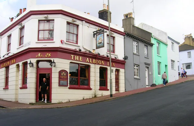
Holiday apartment
Roads nearby
Carn Court50 m
Barry Walk100 m
Barnfield Gardens150 m
North Drive150 m
Queens Park TerraceSt Luke's Church, Queens Park Terrace, Cuthbert Road, Pepperpot, Queens Park Terrace (Zone C)
150 m
St Luke's RoadSt Lukes Road
200 m
St Luke's TerraceSt Lukes Terrace
200 m
Queens Park RiseQueens Park Rise
200 m
East DriveClock Tower, East Drive (Zone C)
200 m
Queens ParkQueen's Park, Open Bakery
250 m
Queens Park Mews250 m
Cuthbert RoadBudgens, Community Hub
350 m
Freshfield Street350 m
Stonehurst Court400 m
Dawson Terrace400 m
Southwater CloseHadlow Close
400 m
Olivier Close450 m
Evelyn TerraceEvelyn Terrace (Zone C)
450 m
Hadlow Close450 m
Rochester Street450 m
Hendon Street450 m
Sutherland RoadClifford's News Agent, Evelyn Terrace, Freshfield Way, Sutherland Road, Sutherland Road (Zone C)
450 m
Canning StreetThe Round Georges
500 m
College Terrace500 m
Bute Street550 m
Livingstone Street550 m
Parham Close550 m
Walpole TerraceWalpole Terrace (Zone H), Enterprise Car Club
650 m
Abandoned railways nearby
Kemp Town Branch Line250 m
Apartment buildings nearby
Attree Court50 m
Windermere Court200 m
Saint Mathew's Court500 m
Buildings nearby
Vicarage100 m
Happy Shopper350 m
Electronics shops nearby
625 Aerials300 m
Fast food restaurants nearby
Mumbai Express450 m
Hairdresser's nearby
Defuse Hair Salon500 m
Kitchen showrooms nearby
Benchmarx500 m
Pavilions nearby
Queens Park Tennis Club clubhouse250 m
Residential areas nearby
Bower Court : BN2 0ER350 m
Retail buildings nearby
WF Electrical450 m
Eurotiles & Bathrooms Brighton500 m
Bombadier Transportation500 m
Self-storages nearby
StorageMart450 m
Specialist shops nearby
Plumbase450 m
Sports pitches nearby
Home Ground600 m
Studios nearby
Metway Studio600 m
Swimming pools nearby
St Lukes Swimming Pool150 m
Warehouses nearby
TE Connectivity550 m
 Public transport map Brighton and Hove Legend
| Railway | |
| Bus | |
| Tram |
 Cycling map Brighton and Hove Legend
| Cycle path | |
| Cycle lane on road | |
| Cycling on bus lane | |
| Bicycle street | |
| Cyclists allowed | |
| Cyclists allowed, good surface | |
| No cycling | |
| Cobblestones |
| Long-distance cycle route | (depending on scale) | |
| Long-distance cycle route |
 Walking map Brighton and Hove Legend
| Path |
| Long-distance hiking trail | (depending on scale) | |
| Long-distance hiking trail | ||
| No pedestrians |