
Granville Street in Aylesbury
Granville Street in Buckinghamshire, Aylesbury is an asphalted residential street. It runs in a north-south direction starting from Buckingham Street and crosses Ripon Street and Granville Place and ends at St. Mary's Square. In the vicinity, there is a hairdresser's. The nearest bus stop in the vicinity is New Street (approx. 200 m away). Granville Street also exists in Greater Manchester, West Midlands, North East, South Yorkshire and West Yorkshire.
- Road Type
- residential street
- Route
- north-south
Image
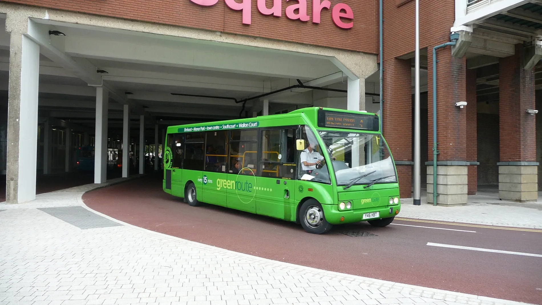
Hairdressers
Roads nearby
Granville Place50 m
Ripon Street50 m
St Mary's Row100 m
Buckingham StreetMirage Club, Golden Bengali, Taste of Poland, Bamboo, Peking Inn, Prezzo, Watan halal food, African Cash & Carry, Pizza Hut Delivery, Salim, Church View Funeral Directos, Kasim Jewellers, Prodent Dental Surgery, Booze Store, Babs News Food Wine, Simply Thai, Kashmir Halal Meat, Stylers, Rapid, Unas News, Albany Carpet Contracts, Bodrum Kebab, Top Friars, Stokrotka, Cash & Cheque Express, Ray Childs, The Flower Bar, Crusader Holidays
100 m
Cooper's Yard100 m
Nelson Terrace150 m
Pebble LaneThe Rockwood, Citizens Advice Bureau, The Victoria Club, Roald Dahl Children's Gallery, Fruity Tooty Fresh Foods
150 m
Whitehall Street150 m
St. Mary's Square150 m
KingsburyThe Feathers, Nationwide, Alta Moda, The Grill, Aylesbury Optician, Beauty Boutique, Meat n Eat, Gi-Ges, Malebon, The Amazing Barbers, Fever & Cirque, Lloyds Bank, Buon Amici, Golden Scissors, eVapeOutlet, PizzaExpress, Betfred, Paddy Power, Subway, Coral, Salvinos, Bucks Schoolwear, Rhapsody, Nails 21, The Money Shop, Desire, Nail Envy, JFC, Raw Image
150 m
Cambridge PlacePapa John's, KFC
150 m
Church StreetBuckinghamshire County Museum, Garden Cafe
200 m
George StreetThe King's Head, The Coffee Tree, J B Coad & Son Opticians, Queen's Head
200 m
Parson's Fee200 m
Castle Close200 m
Chadbone Close200 m
Temple Square250 m
Castle Court250 m
Ardenham Lane250 m
Prebenial Close250 m
Castle StreetTemple Square Dental
250 m
New Streetherbies pizza, Jade House, New Street, Khans, Domino's
300 m
Market StreetWarhammer, Basement 13, Jordons Jewwllery, TSB, Adams Travel
300 m
Temple StreetRocky & Kook, Aylesbury Music, Just Cutz, Temple Street Wine Bar, Andy's Carpets & Blinds, connexions
300 m
High StreetWHSmith, McDonald's, Marks & Spencer, Boots Opticians, Yorkshire Building Society, Greggs, TUI, Carphone Warehouse, Snappy Snaps, Inferno, Aylesbury Gadget Exchange, Aylesbury Bullion Company, Specsavers, Costa, CeX, The Salvation Army, The Body Shop, Lifestyle hairdressing, The Coffee Corner, The Royal British Legion, Savers, Aylesbury Post Office, Jhoots, Santander, Grape Tree, Toni & Guy, Hays Travel, Adorn Beauty, QD, Scope, Launderama, Spicy Bites, Aylesbury Pizza, El Halal, Beacon Alarms, Golden Delicious, Bucks Balti House, Aylesbury Dry Cleaners, The Kashmir Gardens, Aylesbury Fire Systems, Bon Appetit, Oxfam, Mendoza, Jessica's, Ming's, Florence Nightingale, Gala Clubs Bingo, Age UK, Matrix, ASHCO, Iceland, Poundland, Coral, Ecigwizard, Popeye, Deluxe Beauty, UK Man, Abi Town Centre Store
300 m
Alexander Road300 m
Silver StreetNoodle Nation, Pulse51, H&M, Smiggle, Clarks, Office, EE
300 m
Rickford's HillNew Testament Church of God, Aylesbury Quakers
300 m
Silverdale Close300 m
Bourbon StreetJust Baguettes, First Impressions, The Foot Clinic, Top Nails, Sonns Health Store, S.W.1 Barbers, Age Concern, Dead Universe Comics, Supercuts
300 m
Friarage Passage350 m
Fleet StreetVictory Pentecostal Church of God, Slixz
350 m
Lucky Lane400 m
Sycamore Court400 m
Willow Road400 m
Buckingham RoadHorse and Jockey
400 m
Buildings nearby
Aylesbury Masonic Centre100 m
Elsinore House150 m
Sunley House200 m
Commercial buildings nearby
Ardenham Court200 m
Nightclubs nearby
The Emperors Lounge150 m
Places of worship nearby
Granville Street Church50 m
Aylesbury Methodist Church & Centre100 m
Saint Mary the Virgin100 m
Restaurants nearby
La Salute250 m
The Works300 m
Retail buildings nearby
Uptown Coffee Bar250 m
Social facilities nearby
Oscar Lodge250 m
Supermarkets nearby
Sainsbury's200 m
Public transport map Aylesbury Legend
| Railway | |
| Bus | |
| Tram |
Cycling map Aylesbury Legend
| Cycle path | |
| Cycle lane on road | |
| Cycling on bus lane | |
| Bicycle street | |
| Cyclists allowed | |
| Cyclists allowed, good surface | |
| No cycling | |
| Cobblestones |
| Long-distance cycle route | (depending on scale) | |
| Long-distance cycle route |
Walking map Aylesbury Legend
| Path |
| Long-distance hiking trail | (depending on scale) | |
| Long-distance hiking trail | ||
| No pedestrians |