Cheltenham

This City map of Cheltenham shows the region’s streets, paths and places within the non-metropolitan district of Gloucestershire, England. Cheltenham covers approximately 46.6 square kilometres and had about 117,090 residents in 2018. Population increased from 116,100 in 2012 to 119,434 in 2022. The present district was established in 1974 and includes five subregions: Swindon, Up Hatherley, Charlton Kings, Leckhampton and Prestbury.

City map Cheltenham
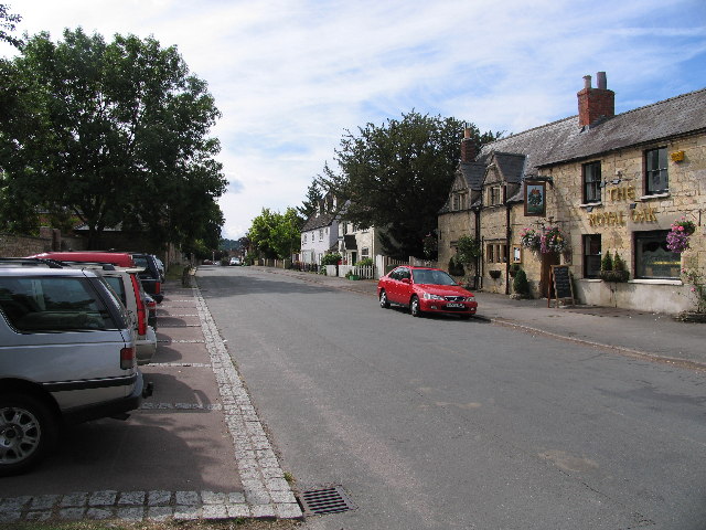
Philip Halling, CC BY-SA 2.0 – Wikimedia Commons
City map Swindon
Griffp, CC BY-SA 4.0 – Wikimedia Commons

Swindon

Swindon is a village, suburb and civil parish within Cheltenham in Gloucestershire. The subregion is recorded at administrative level 10 and has a population of 1,730.

Its position within the Cheltenham district places it in the urban and rural transition around the town, with local streets connecting the settlement to other parts of Gloucestershire. Swindon is distinct from the much larger town of Swindon in Wiltshire because this civil parish belongs to Cheltenham.

City map Up Hatherley
Pauline Eccles, CC BY-SA 2.0 – Wikimedia Commons

Up Hatherley

Up Hatherley is a civil parish and suburb of Cheltenham in Gloucestershire, England. It is recorded as an administrative-level 10 subdivision and has 6,995 residents.

The suburb forms part of the southern area of Cheltenham’s built-up district, within the wider county of Gloucestershire. Its local setting connects residential streets and civic boundaries with the main urban area of Cheltenham, which lies in the Cotswolds region of southwest England.

City map Charlton Kings
andy dolman, CC BY-SA 2.0 – Wikimedia Commons

Charlton Kings

Charlton Kings is a village and civil parish in Gloucestershire and one of Cheltenham’s five subregions. It has a population of 12,021 and is classified at administrative level 10.

The parish lies on the eastern side of Cheltenham, close to the Cotswold escarpment and the hills east of the town. Charlton Kings is associated with the River Chelt valley, while its streets connect the parish with central Cheltenham and neighbouring Gloucestershire settlements.

City map Leckhampton
Robin Poitou, CC BY-SA 3.0 – Wikimedia Commons

Leckhampton

Leckhampton is a civil parish in Cheltenham, Gloucestershire, with a recorded population of 8,693. It is an administrative-level 10 subdivision within the 46.6-square-kilometre Cheltenham district.

The parish occupies the southern part of Cheltenham beneath Leckhampton Hill, a prominent limestone landmark on the edge of the Cotswolds. Leckhampton Hill is part of the Cotswold landscape east and south of the town, while the parish’s built-up streets continue into the wider Cheltenham urban area.

City map Prestbury
Terry Jacombs, CC BY-SA 2.0 – Wikimedia Commons

Prestbury

Prestbury is a village and civil parish in Gloucestershire and forms one of the five subregions of Cheltenham. The parish has 8,094 residents and is recorded at administrative level 10.

Prestbury lies north-east of Cheltenham at the foot of the Cotswold hills and near the River Chelt. The village is known for its historic parish church of St Mary, dating from the medieval period, and its position links the northern edge of Cheltenham with the surrounding Gloucestershire countryside.

Data sources: OpenStreetMap (ODbL), Wikidata (CC0) · Image: Wikimedia Commons

Cheltenham – Facts

Inhabitants 117090
Area 46.6 km²
Subregions 5
Inception 1974
Located in Gloucestershire
Country United Kingdom
Website https://www.cheltenham.gov.uk/

Data source: Wikidata (CC0)

Roads in Cheltenham

Important and frequently searched streets
Wimborne Close