
Baywillow Close in Winsford
Baywillow Close in Cheshire West and Chester, Winsford is a residential street. It runs in a southeast-northwest direction and crosses Roehurst Lane. It ends in a cul-de-sac.
- Road Type
- residential street
- Route
- southeast-northwest
Image
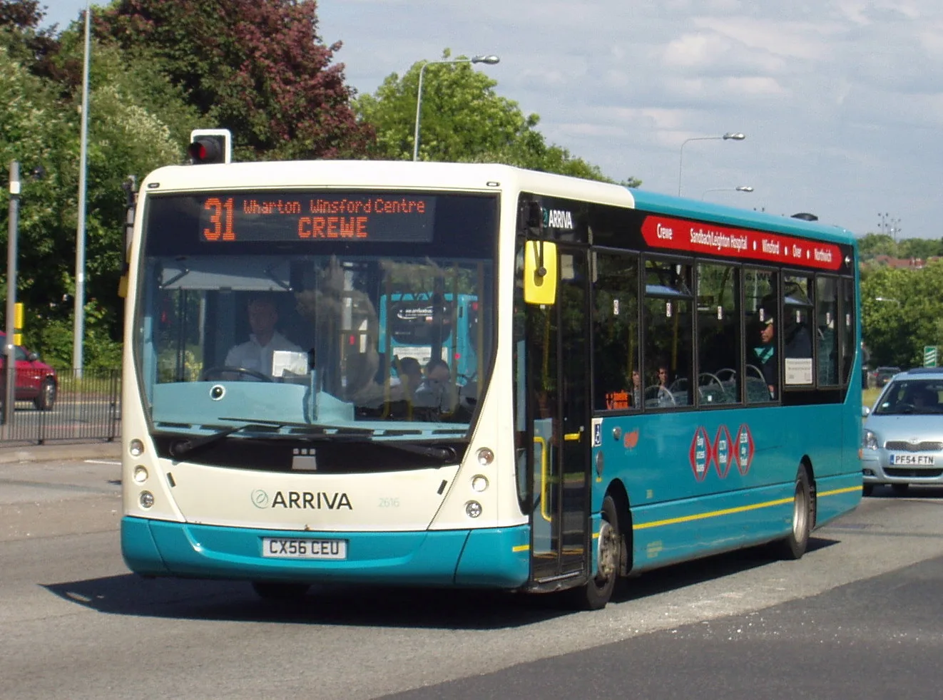
Opticians
Restaurants
Bus stops
Roads nearby
Acer Court150 m
Troutbeck Grove200 m
Bowness Avenue200 m
Roehurst Lane250 m
Grasmere Close250 m
Sadler Close300 m
Haweswater Drive300 m
Sadler Road300 m
Queens Court300 m
Arnside Close350 m
Buttermere Road350 m
Hawkshead Way350 m
Grange LaneWinsford, Grange Lane / Winsford Academy
400 m
Oakes CloseKelly Marie
450 m
Dene DriveWinsford, Dene Drive / The Queens, Winsford, Dene Drive / Asda, Winsford, Dene Drive / Queensway, Winsford, Dene Drive / Denesgate, Winsford, Dene Drive / Townfields Crescent, Winsford
500 m
Buildings nearby
Grange Lane Substation400 m
Banks nearby
Nationwide450 m
Bookshops nearby
The Works450 m
Buildings nearby
Cheshire Fire and Rescue Service200 m
Winsford Ambulance Station250 m
Verdin Exchange350 m
Kier400 m
Brunner Guildhall400 m
Fletchers Solicitors450 m
LMS Property500 m
Cafés nearby
Costa450 m
Chemist's nearby
Savers450 m
Clinics nearby
Vale House Health Centre400 m
Clothing shops nearby
New Look450 m
Commercial buildings nearby
Oakwood Mobility300 m
Bailey Audio Systems350 m
The Tanning Unit350 m
Allons Dry Cleaning350 m
Small World Baby350 m
Moss Haselhurst450 m
E-cigarette shops nearby
Vapeorist450 m
Fast food restaurants nearby
Foodcraft350 m
Greggs450 m
Fire stations nearby
Winsford Fire Station250 m
Hairdresser's nearby
Attoria450 m
Kindergartens nearby
Kiddiecare250 m
Libraries nearby
Winsford Library400 m
Nursing homes nearby
Elmhurst Intermediate Care Centre300 m
Meadow Bank Lodge350 m
Pharmacies nearby
Boots400 m
Playgrounds nearby
Hawkshead Way Play Area300 m
Pubs nearby
The Queens Arms500 m
Residential areas nearby
Mount Court300 m
Specialist shops nearby
Wolseley350 m
 Public transport map Winsford Legend
| Railway | |
| Bus | |
| Tram |
 Cycling map Winsford Legend
| Cycle path | |
| Cycle lane on road | |
| Cycling on bus lane | |
| Bicycle street | |
| Cyclists allowed | |
| Cyclists allowed, good surface | |
| No cycling | |
| Cobblestones |
| Long-distance cycle route | (depending on scale) | |
| Long-distance cycle route |
 Walking map Winsford Legend
| Path |
| Long-distance hiking trail | (depending on scale) | |
| Long-distance hiking trail | ||
| No pedestrians |