
The Drumber in Winsford
The Drumber in Cheshire West and Chester, Winsford is a tertiary road and it runs in a northeast-southwest direction. This road is part of the bicycle route "UK:National Cycle Network 551". The bus lines 37 and W7 serve this stop.
- Road Type
- tertiary road
- Speed Limit
- 30 mph
- Route
- northeast-southwest
Image
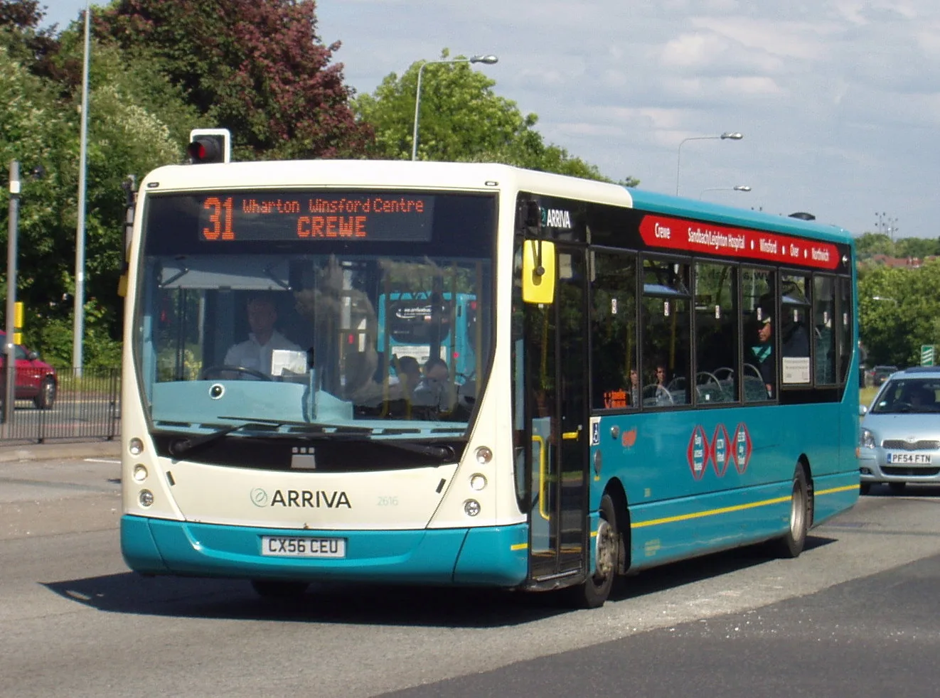
Bus stops
- bus lines 37, W7
Roads nearby
Jubilee Wayautomatic door, door, Asda Opticians
150 m
Dene DriveWinsford, Dene Drive / The Queens, Winsford, Dene Drive / Asda, Winsford, Dene Drive / Queensway, Winsford, Dene Drive / Denesgate, Winsford, Dene Drive / Townfields Crescent, Winsford
300 m
Shops nearby
Argos150 m
Banks nearby
Nationwide200 m
Beauty salons nearby
Nails Express150 m
Bookmakers nearby
Betfred150 m
Bookshops nearby
The Works200 m
Buildings nearby
Pockets Snooker Club150 m
Swetenhams150 m
Bridgfords200 m
Butters John Bee200 m
Cafés nearby
The Coffee House150 m
Charity shops nearby
Barnardo's150 m
The A World UK CIC200 m
Chemist's nearby
Savers200 m
Clinics nearby
Vale House Health Centre300 m
Clothing shops nearby
New Look200 m
Commercial areas nearby
Market loading area250 m
Asda loading area250 m
Dental practices nearby
mydentist150 m
Doctor's practice nearby
Dene Drive Primary Care Centre350 m
E-cigarette shops nearby
Huff & Puff200 m
Vapeorist250 m
Fast food restaurants nearby
Caprinos Pizza150 m
Subway150 m
Greggs250 m
Frozen food shops nearby
Farmfoods350 m
Garden centres nearby
B&M Garden Centre200 m
Gift shops nearby
Card Factory200 m
Hairdresser's nearby
Tur And Co150 m
Jeweller's nearby
Hollins & Hollinshead150 m
Libraries nearby
Winsford Library300 m
Marketplaces nearby
Winsford Indoor Market200 m
Mobile phone shops nearby
EE150 m
Opticians nearby
Specsavers150 m
Taylors Optometrist300 m
Pharmacies nearby
Boots200 m
Ponda's Chemist200 m
Well Pharmacy350 m
Photography shops nearby
Max Spielmann150 m
Pubs nearby
The Queens Arms300 m
Residential areas nearby
The Dene350 m
Well Street and John Street400 m
Retail areas nearby
Winsford Town Centre400 m
Retail buildings nearby
Hollie & Co150 m
iFix4U150 m
Sports centres nearby
Winsford Lifestyle Centre250 m
Supermarkets nearby
Asda200 m
Variety stores nearby
Pound Store Extra150 m
Public transport map Winsford Legend
| Railway | |
| Bus | |
| Tram |
Cycling map Winsford Legend
| Cycle path | |
| Cycle lane on road | |
| Cycling on bus lane | |
| Bicycle street | |
| Cyclists allowed | |
| Cyclists allowed, good surface | |
| No cycling | |
| Cobblestones |
| Long-distance cycle route | (depending on scale) | |
| Long-distance cycle route |
Walking map Winsford Legend
| Path |
| Long-distance hiking trail | (depending on scale) | |
| Long-distance hiking trail | ||
| No pedestrians |