
Cornish Main Line in Penzance
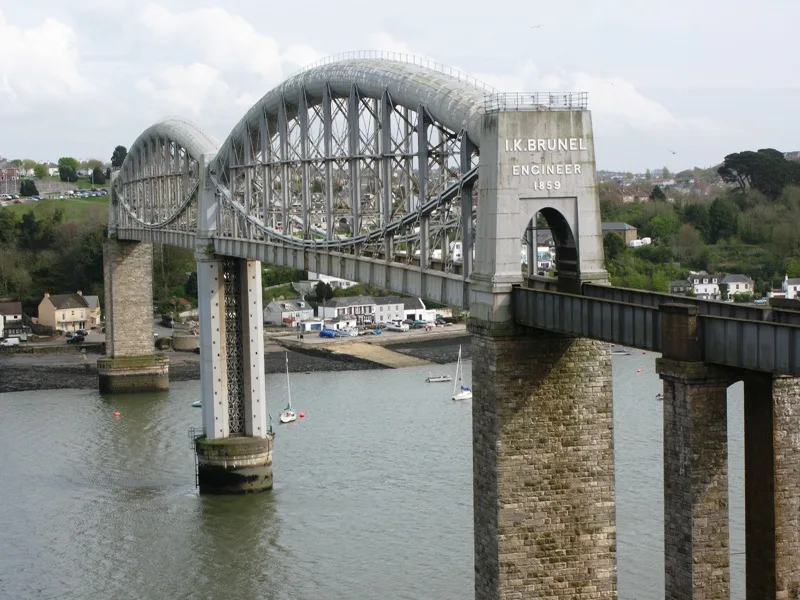
Cornish Main Line in Cornwall, Penzance is a railway line (Network Rail, 1435 mm, main line). The train route 135 (GW) runs along this road. Cornish Main Line also exists in Saltash, Truro, St. Clement, St. Austell Bay and St. Austell. Ⓦ.
- Speed Limit
- 15 mph
- Operator
- Network Rail
Image
Tourist information
Laundries
Car hires
Bus stops
Fast food restaurants
Café
Pub
Guest house
Platforms
- train routes 135 (GW)
Stations
- train routes 135 (GW)
Tattoo studios
Roads nearby
Leskinnick StreetThe Longboat Hotel, Suds & Surf
100 m
Penrose TerracePenrose Guest House
100 m
Station RoadStand F, Stand E, Stand D, First Great Western, Europcar, National Trust Welcome Centre, First Buses Travel Shop, Penzance, Sullivan's Big Breakfast Diner
100 m
Leskinnick PlaceLamp and Whistle
100 m
Mount Street100 m
Albert StreetPizza Dominic, The Black Pig Tatoo Sudio, Easy-Peasy Restaurant
150 m
Cross Street150 m
Leskinnick Terrace150 m
Market Jew StreetWolf Clothing, Humphry Davy, Town Centre, Game On, Mounts Bay Pasty Company, Ryman, Istanbul Turkish Barber Penzance, Vodafone, JAG, Boots Opticians, British Heart Foundation, Rowe's Cornish Bakery, Peacocks, Penzance, The Tremenheere, Penzance Post Office, The Front Room, Penzance Dental, Sports Direct, Fresh Barnet, Nationwide, Impresso Espresso, Warrens Bakery, Warrens Bakery toilet
150 m
Lannoweth Road150 m
Lescudjack Road200 m
Wharf RoadOn The Bay, Iceland
200 m
Adelaide StreetAdelaide Street
200 m
Chyandour CliffPenzance, East Terrace, Mount Royal - Penzance, One and All, Carnson House, Cliff Hotel
200 m
Coastguard Crescent200 m
Wood Street200 m
Penwith Street250 m
Victoria Square250 m
Britons Hill250 m
Thornberry Terrace250 m
New Town LaneCard Sharp, Pellow's
300 m
Albert Terrace300 m
Lescudjack Crescent300 m
Penlee Street300 m
St Michael's Street350 m
St Johns Terrace350 m
Harbour View Crescent350 m
St Philip Street350 m
Mount Royal Close350 m
Penare Terrace350 m
Penare Road350 m
Castle RoadCastle Road
450 m
Treassowe Road450 m
Pendennis Place500 m
Chyandour Lane500 m
Pendennis RoadPendennis Road, Lower Peveril Road
600 m
Railways nearby
Signal Box400 m
Buildings nearby
St Michaels Garage100 m
Newtown Lane250 m
Trewartha Terrace350 m
Lescudjack Hill550 m
Cafés nearby
Cornish Rail Coffee Company50 m
Hotel nearby
Premier Inn100 m
Hotel Penzance300 m
Places of worship nearby
St John the Baptist250 m
Pubs nearby
The Crown200 m
Railway stations nearby
Penzance Railway Station50 m
Shopping malls nearby
Wharfside Shopping Centre300 m
Towers nearby
NCI Lookout Station400 m
| Opening | 1867 |
|---|---|
| Length | 79.5 |
| Located in | Cornwall |
| Country | United Kingdom |
| Has part | Saltash to St Germans Line, Cornwall Loop, Main Line (Paddington to Penzance via Bath), Cornwall Loop Junction to St Germans, Main Line (Paddington to Penzance via Bath), St Germans to mileage change point east of Chacewater, Main Line (Paddington to Penzance via Bath), Mileage change point east of Chacewater to Penzance |
| Part of | National Rail |
 Public transport map Penzance Legend
 | Railway | |
| Bus | |
| Tram |
 Cycling map Penzance Legend
 | Cycle path | |
| Cycle lane on road | |
| Cycling on bus lane | |
| Bicycle street | |
| Cyclists allowed | |
| Cyclists allowed, good surface | |
| No cycling | |
| Cobblestones |
| Long-distance cycle route | (depending on scale) | |
| Long-distance cycle route |
 Walking map Penzance Legend
 | Path |
| Long-distance hiking trail | (depending on scale) | |
| Long-distance hiking trail | ||
| No pedestrians |