
W21/66 in Beaminster
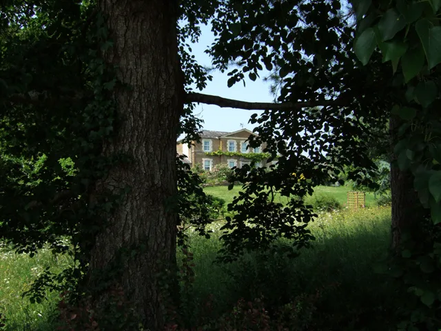
W21/66 in Dorset, Beaminster is a grass footpath. It runs in a northeast-southwest direction and ends at Half Acre Lane, while the other end is a cul-de-sac. This road is part of the hiking trail "Wessex Ridgeway".
- Bicycle
- no
- Road Type
- footpath
- Route
- northeast-southwest
Image
Dentist
Charity shops
Hairdressers
Cafés
Library
Bakeries
Interior decorators
Bookshops
Community centre
Roads nearby
W21/65200 m
W21/88350 m
Greens Cross Drive400 m
Half Acre Lane450 m
Stoke Road450 m
W21/64450 m
Broadwindsor Road500 m
Lewesdon Close500 m
Ridgeway View550 m
Pilsdon Close550 m
St James600 m
Cockroad Lane & Br.73600 m
Eggardon Close600 m
Culverhayes600 m
Cockroad Lane600 m
W21/63600 m
W21/86650 m
W21/67650 m
Horn Hill View700 m
St Mary's Gardens700 m
W21/73750 m
Hogshill Mead750 m
W21/68800 m
The Beeches800 m
W43/4800 m
Shorts Lane (W21/68)800 m
Clay Lane850 m
Brantwood900 m
W21/62900 m
Fairfield900 m
Barnes Lane950 m
W21/69950 m
Tunnel Road950 m
Newmans Court950 m
Windy Ridge950 m
W21/591000 m
W21/561,0 km
W21/581,0 km
W21/601,1 km
Apartment buildings nearby
Stoke Water House350 m
Convenience stores nearby
Spar650 m
Farm supplies shops nearby
Francis Bugler350 m
Fire stations nearby
Beaminster Community Fire Station900 m
Hardware shops nearby
E Bailey & Sons550 m
Industrial buildings nearby
Clipper Teas400 m
Places of worship nearby
Wellspring Mission Hall500 m
Pubs nearby
Knapp Inn800 m
Woodlands nearby
Pucketts Wood250 m
Edmund Coombe Coppice600 m
 Public transport map Beaminster Legend
 | Railway | |
| Bus | |
| Tram |
 Cycling map Beaminster Legend
 | Cycle path | |
| Cycle lane on road | |
| Cycling on bus lane | |
| Bicycle street | |
| Cyclists allowed | |
| Cyclists allowed, good surface | |
| No cycling | |
| Cobblestones |
| Long-distance cycle route | (depending on scale) | |
| Long-distance cycle route |
 Walking map Beaminster Legend
 | Path |
| Long-distance hiking trail | (depending on scale) | |
| Long-distance hiking trail | ||
| No pedestrians |