
Blackwell, Bolsover
Blackwell is located in Bolsover. About 4,271 people live here (as of 2021). Between 2011 and 2021, the population fell from 4,389 to 4,271. Blackwell has around 235 streets. Blackwell is village and civil parish in the Bolsover District, Derbyshire, England. Among other things, Blackwell has public transport, restaurants, cafés, clothing stores, doctors and pharmacies.
Blackwell – Facts
| Inhabitants | 4271 |
|---|---|
| Located in | Bolsover |
| Country | United Kingdom |
Data source: Wikidata (CC0)
Photos from Blackwell
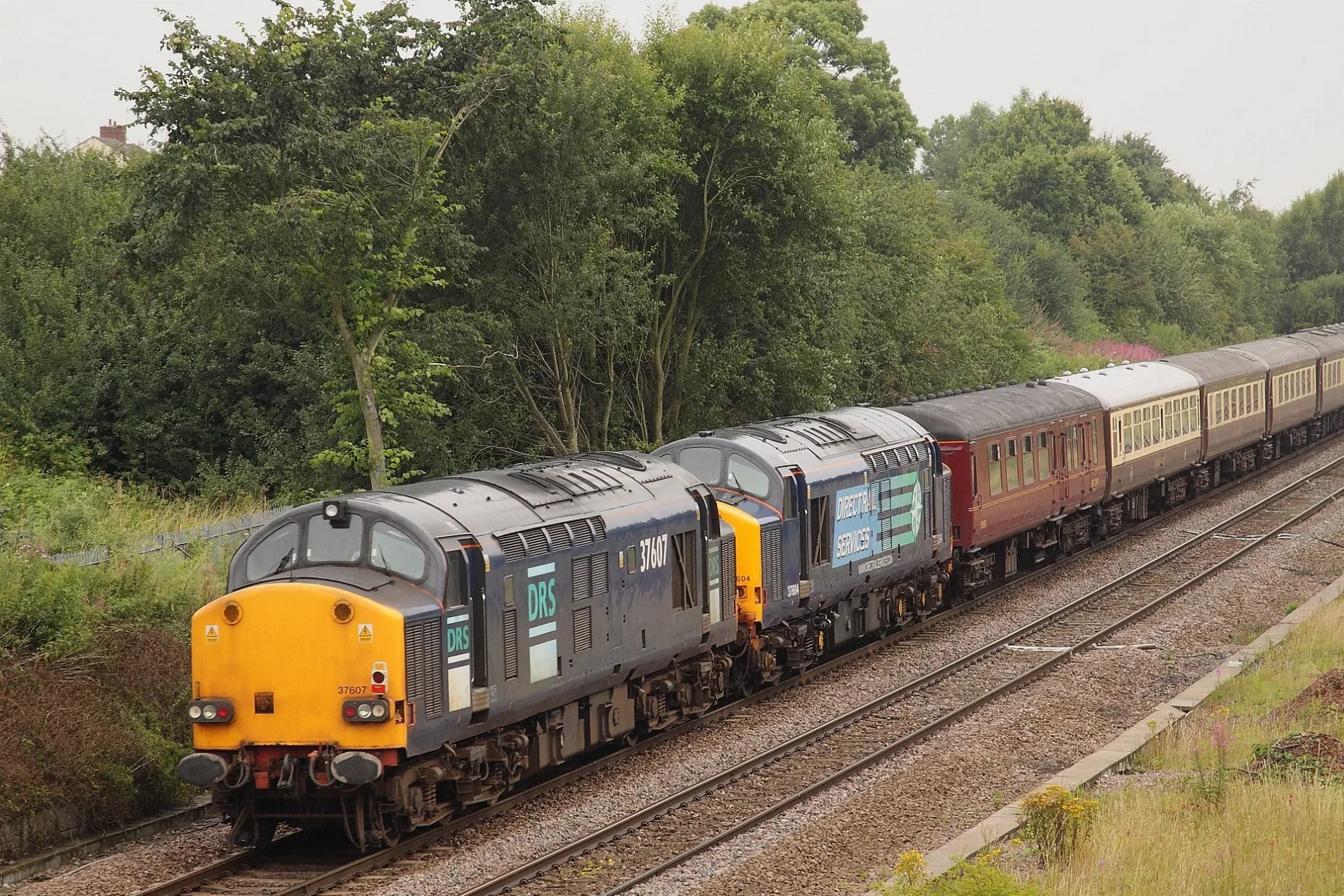
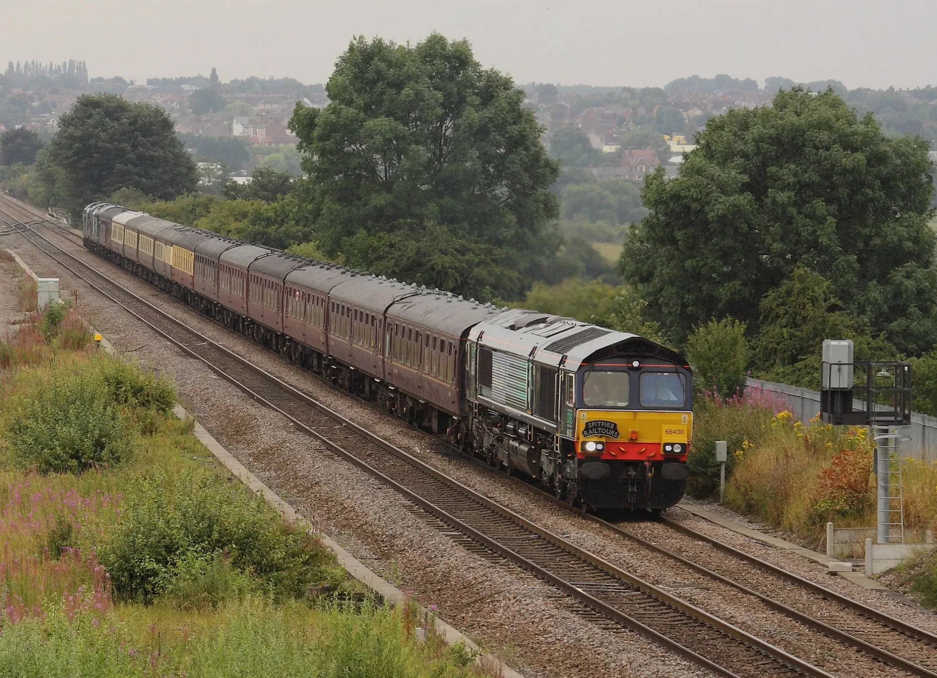
Roads in Blackwell, Bolsover
Roads
Alfreton Road
Westhouses Primitive Methodist Church, George And Dragon, Gloves Lane, Thurgaton Way, South Street, 180 Alfreton Road, Wilson Avenue, Station Hotel, Blackwell North Junction
Hilcote LaneHilcote, Hilcote Arms, Hilcote Tea Room, Rachell's Restaurant, Hilcote Hall
Main StreetNew Street, Post Office, Main Street
New LaneMrs Goggins Dancewear, New Street, Kaydor Signs
Primrose HillPrimrose Hill
Gloves LaneBlackwell Medical Centre, Blackwell Pharmacy
Littlemoor LaneSherwood Street, Newton Post Office
Park Mill DrivePark Mill Drive
Woburn CloseBlackwell, Blackwell Community Centre and Post Office
Tibshelf RoadTibshelf South Junction
Deamon StreetDeamon Street South
New StreetB Winning Methodist Church
Blackwell TrailBlackwell East Junction
Newtonwood LaneNewtonwood Lane
Sherwood StreetThe Sherwood Club
Ashover View
Cambridge Street
Glove's Lane
Cokefield Terrace
Red Barn Close
Silver Birch Crescent
Church Close
The Ridge
Five Pits Trail Newton Link
Fairfield Avenue
Central Drive
Metro Avenue
Helpston Close
Strutt Close
Charnwood Crescent
Oak Tree Road
Bamford Street
South Street
Fordbridge Lane
Waterloo Close
Dodgewell Close
Wilson Avenue
Huthwaite Lane
Westfield Drive
Glen Close
The Paddock
Silverhill Trail
Victoria Drive
Gladstone Avenue
Cromwell Avenue
Pasture View Court
Hallfield Road
Fen Close
Sidings Way
Pennine Close
Tomlinson Close
Whites Lane
Homestead Mews
Hardwick Close
North Street
Sandwood Close
Oxford Street
Dale Avenue
Pendean CloseApartment buildings
Carpet shops
Community centres
Constructions
Funeral directors
Industrial areas
Places of worship
Pubs
Railway lines
Razed railways
Sports pitches
Terraced houses
 Public transport map Blackwell Legend
| Railway | |
| Bus | |
| Tram |
 Cycling map Blackwell Legend
| Cycle path | |
| Cycle lane on road | |
| Cycling on bus lane | |
| Bicycle street | |
| Cyclists allowed | |
| Cyclists allowed, good surface | |
| No cycling | |
| Cobblestones |
| Long-distance cycle route | (depending on scale) | |
| Long-distance cycle route |
 Walking map Blackwell Legend
| Path |
| Long-distance hiking trail | (depending on scale) | |
| Long-distance hiking trail | ||
| No pedestrians |