
Coppice View in South Normanton
Coppice View in South Normanton in Bolsover is a residential street. No sidewalks. It runs in a southeast-northwest direction starting from Meadow Court and crosses Lea Vale. It ends in a cul-de-sac.
- Road Type
- residential street
- Route
- southeast-northwest
Image
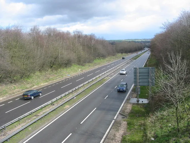
Social facility
Convenience stores
Doctor's office
Bus stops
Fast food restaurants
Dentist
Post offices
Car dealerships
Bookmakers
Roads nearby
Meadow Court100 m
Larkspur Close150 m
Copse Wood150 m
Lilac Grove200 m
Hillcrest Avenue200 m
Cornfield Avenue200 m
Woodfield Road250 m
Elmhurst Close250 m
Elmhurst Avenue250 m
Laurel Grove250 m
Strutts Close250 m
Broadlands250 m
Mount Crescent300 m
Carnfield Close300 m
Red Lane300 m
Dalewood Close300 m
The Grange350 m
Birchwood Close350 m
Larchdale Close350 m
Lea BankCoco Sun
350 m
Hill Fields350 m
Birchen Holme350 m
Oakdale Road400 m
Bryant lane400 m
Lea Vale400 m
The Oaklands400 m
Hillfields450 m
Heather Close450 m
Birchwood Lane450 m
Little Breck500 m
The CommonMarket Street Junction, The Common, The Common Stores, Delhi Nights, GATSO no. 36
550 m
Maple Drive550 m
Cedar Grove550 m
The Sycamores600 m
Chestnut Drive600 m
Silkenholme650 m
Storth Lane650 m
The Chine650 m
Stormont Close650 m
The Brockwell650 m
The Pemberton650 m
The Duesbury700 m
Gordon Crescent700 m
The Brunnen700 m
Slade Close700 m
Buildings nearby
South Normanton Villa FC400 m
Hairdresser's nearby
Clive and Co350 m
Pet shops nearby
Doberfields200 m
Pubs nearby
The Boundary400 m
Public transport map South Normanton Legend
| Railway | |
| Bus | |
| Tram |
Cycling map South Normanton Legend
| Cycle path | |
| Cycle lane on road | |
| Cycling on bus lane | |
| Bicycle street | |
| Cyclists allowed | |
| Cyclists allowed, good surface | |
| No cycling | |
| Cobblestones |
| Long-distance cycle route | (depending on scale) | |
| Long-distance cycle route |
Walking map South Normanton Legend
| Path |
| Long-distance hiking trail | (depending on scale) | |
| Long-distance hiking trail | ||
| No pedestrians |