Gloucester

This City map of Gloucester shows the region’s streets, paths and places across approximately 40.6 square kilometres in Gloucestershire, England. Gloucester is a district in Gloucestershire and had about 129,285 residents in 2018, while the population increased from 123,400 in 2012 to 133,522 in 2022. The city stands on the River Severn and is known for Gloucester Cathedral, whose construction began in the 11th century and which contains the tomb of King Edward II. The region was founded in 1888 and contains one mapped subregion.

City map Gloucester
Bob Embleton, CC BY-SA 2.0 – Wikimedia Commons

Gloucester – Facts

Inhabitants 129285
Area 40.6 km²
Subregions 1
Inception 1888
Located in Gloucestershire
Country United Kingdom
Website https://www.gloucester.gov.uk/

Data source: Wikidata (CC0)

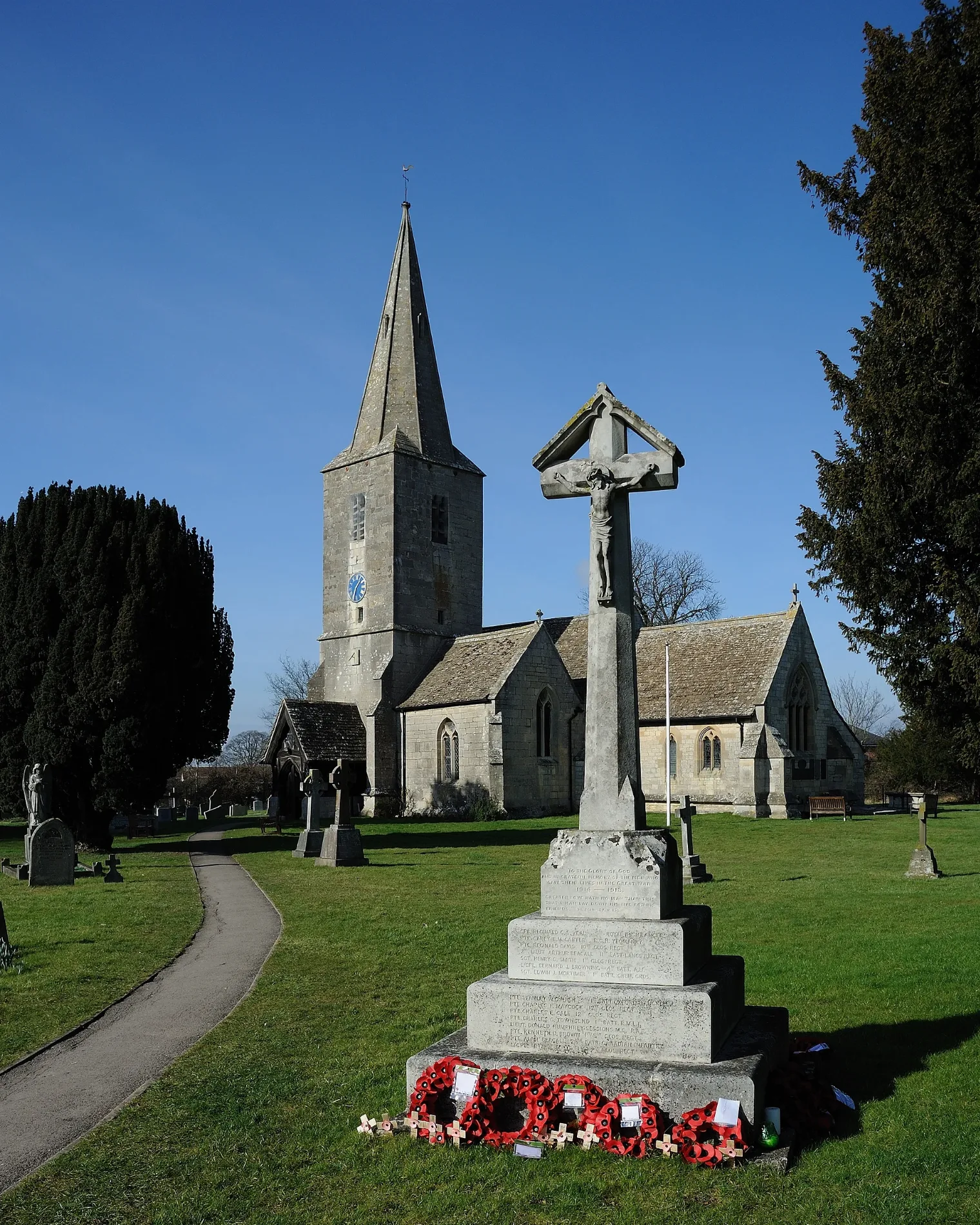
City map Quedgeley
Saffron Blaze, CC BY-SA 3.0 – Wikimedia Commons

Quedgeley

Quedgeley is a town in Gloucestershire and forms the single subregion listed for Gloucester at administrative level 10. It lies south of Gloucester’s historic city centre, within the wider urban area of Gloucestershire, and had a recorded population of 22,145.

The A38 connects Quedgeley with Gloucester and settlements farther south, while the Gloucester and Sharpness Canal runs through the western part of the town. Gloucester city centre, including Gloucester Cathedral and the River Severn, is only a short distance north of Quedgeley.

Data sources: OpenStreetMap (ODbL), Wikidata (CC0) · Image: Wikimedia Commons

Roads in Gloucester