
St Peter's in Ampney St Peter
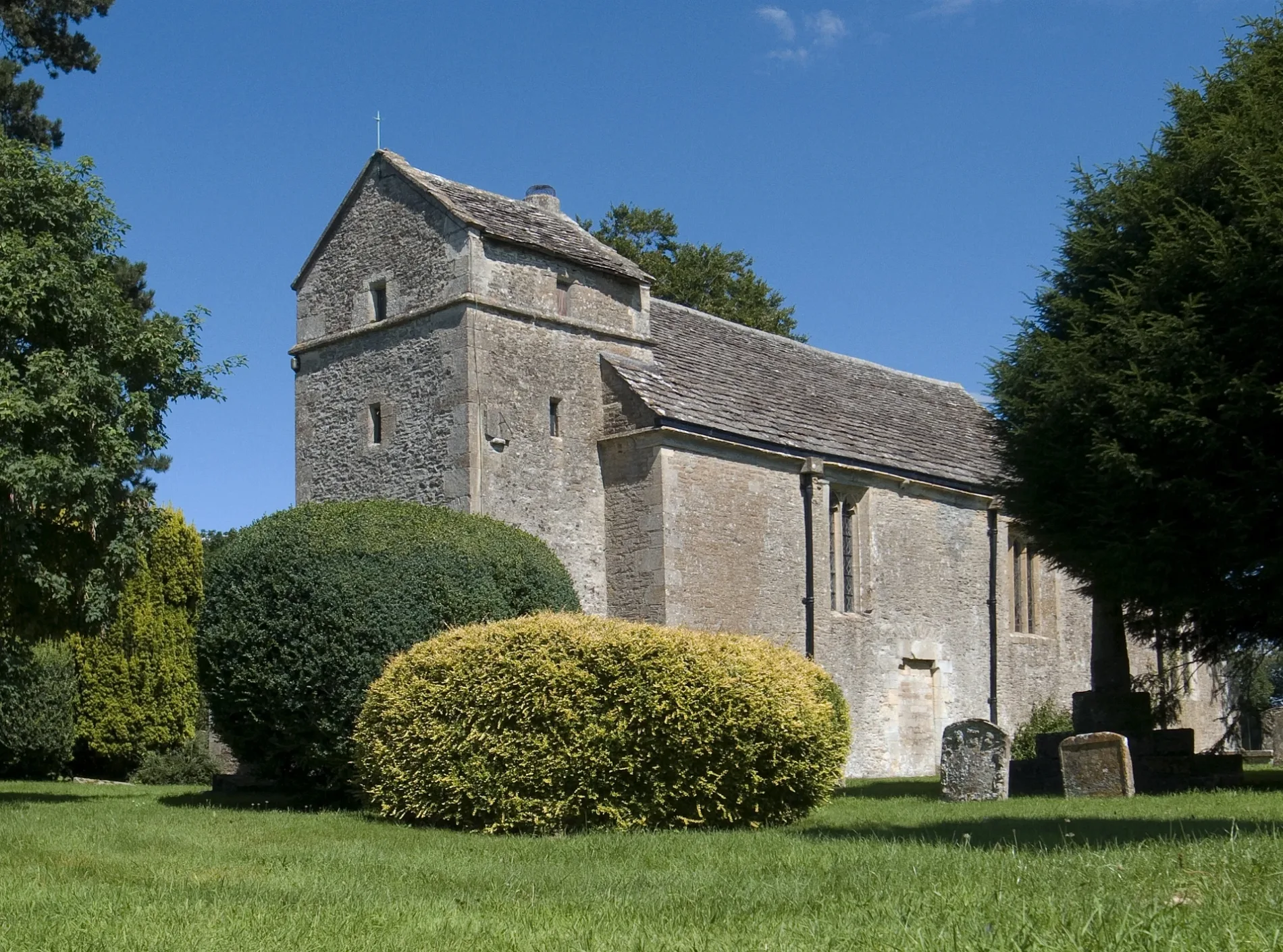
St Peter's in Ampney St. Peter in Cotswold is a Anglicana church (GL7 5SH). It is near Ashbrook Lane and is also known as St Peter's Church, Ampney St Peter. The church belongs to the Diocese of Gloucester and is dedicated to Saint Peter. It is a listed building. St Peter's also exists in Tewkesbury.
- Postal Code
- GL7 5SH
- Amenity
- place of worship
- Building Type
- church
Image
Roads nearby
Dudley Farm850 m
Ashbrook LaneAmpney St. Mary, Defibrillator
850 m
Pig Lane850 m
Donkey FieldThe Donkey Field
1,1 km
School LaneAmpney Crucis
1,2 km
Gassons Lane1,4 km
Allotment Lane1,4 km
The Pleydells1,4 km
Riding LaneThe Padd, The Old Mortar Mill, St Mary's Church
1,4 km
Village StreetThe Pleydells, The Ampney Hall, The Old Rectory
1,5 km
Backs Lane1,6 km
Holder's Farm Road1,6 km
Butchers Arms Lane1,7 km
Stoney Pool1,8 km
Batch Lane1,8 km
Church Lane1,9 km
Edwards Close1,9 km
Elf Meadow1,9 km
West View2,0 km
Cricklade StreetPoulton Post Office, The Falcon
2,1 km
Bell LaneBetty's Grave
2,1 km
Priory Court2,1 km
Granny Freeman's Lane2,1 km
Akeman StreetAmpneyfield Cottages
2,1 km
BroadleazePoulton Priory
2,7 km
Community centres nearby
The Ampney Hall1,5 km
Poulton Village Hall1,9 km
Farmyards nearby
Colledge Farm900 m
Ampney Brook Farm1,6 km
Lower Farm1,7 km
Brookfield Farm2,1 km
Charlham Farm2,6 km
Manor Farm2,6 km
Houses nearby
Jenner's Cottage1,9 km
Industrial areas nearby
Ampney St Peter Wastewater Treatment Works800 m
Places of worship nearby
Church of Ampney St Mary650 m
St Michael & All Angels1,7 km
Holy Rood1,7 km
St Michael and All Angels1,9 km
St Mary1,9 km
Recreation grounds nearby
Englands1,9 km
Streams nearby
Ampney Brook500 m
Woodlands nearby
Waterton Copse1,6 km
Long Furlong2,1 km
Moorhill Corner2,1 km
Westhams Copse2,2 km
Fox Covert2,7 km
Old Copse2,8 km
Lamb Copse2,8 km
| Dedicated to | Saint Peter |
|---|---|
| Diocese | Diocese of Gloucester |
| Heritage designation | Grade II* listed building |
| Located in | Ampney St Peter |
| Country | United Kingdom |
 Public transport map Ampney St. Peter Legend
| Railway | |
| Bus | |
| Tram |
 Cycling map Ampney St. Peter Legend
| Cycle path | |
| Cycle lane on road | |
| Cycling on bus lane | |
| Bicycle street | |
| Cyclists allowed | |
| Cyclists allowed, good surface | |
| No cycling | |
| Cobblestones |
| Long-distance cycle route | (depending on scale) | |
| Long-distance cycle route |
 Walking map Ampney St. Peter Legend
| Path |
| Long-distance hiking trail | (depending on scale) | |
| Long-distance hiking trail | ||
| No pedestrians |