
Saint Mary's in Hartpury
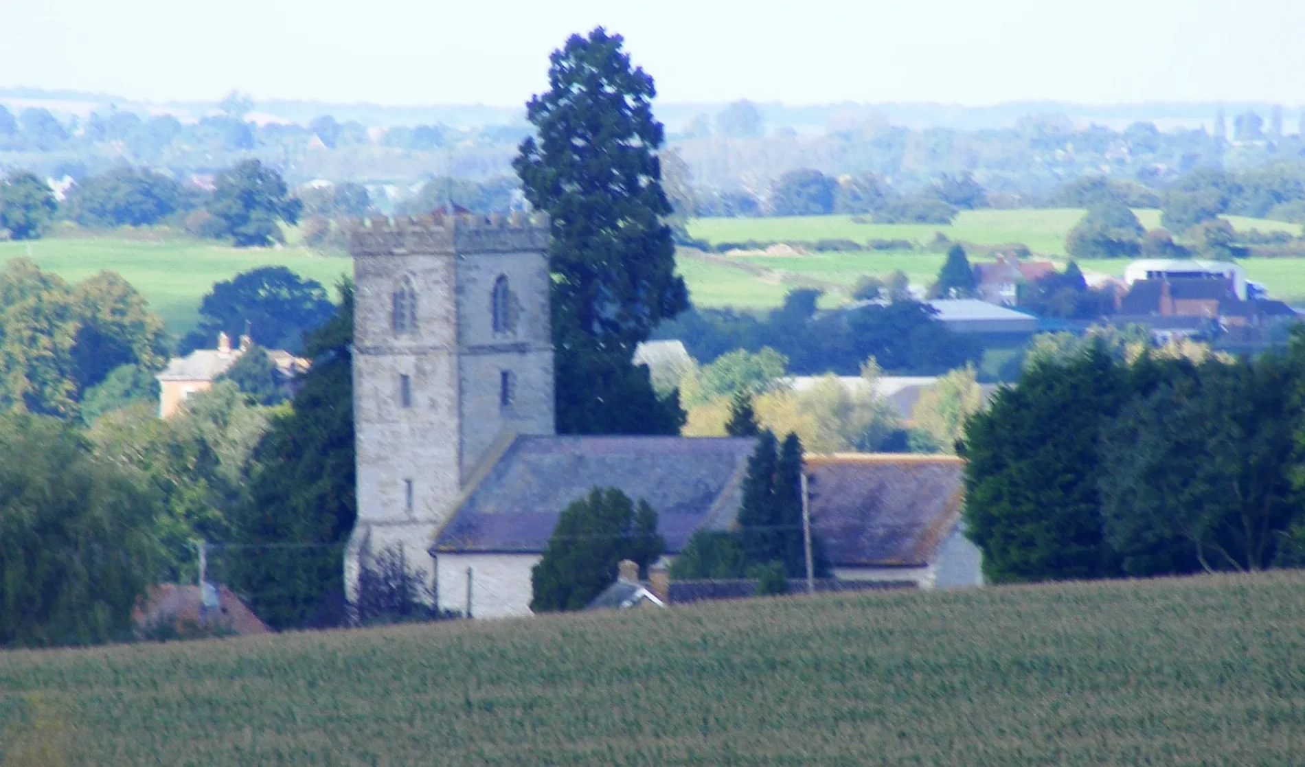
Saint Mary's in Hartpury in Forest of Dean is a Anglicana church. It is near Park Road and is also known as house of worship. The church belongs to the Diocese of Gloucester and was built in 1150. It is a listed building.
- Amenity
- place of worship
- Building Type
- building
Image
Bus stops
Roads nearby
Park Road500 m
Gloucester RoadUpleadon Turn, Highleadon Green, Court Cottages, Highleadon Court
1,1 km
Blackwells EndBlackwells End Green
1,2 km
Corsend RoadCorsend Rd
1,5 km
.Moor End
1,5 km
Barber's Bridge1,5 km
Danford LaneMemorial Hall
1,6 km
Buildings nearby
Students Union/Student Zone1000 m
Abandoned railways nearby
Gloucester & Ledbury Railway1,6 km
Barns nearby
Equine Science Laboratories1,3 km
Stables1,4 km
Bars nearby
Legends Bar1,2 km
Buildings nearby
Tithe Barn100 m
Gloucester Rugby Academy800 m
Hartpury RFC Clubhouse850 m
Sports Academy950 m
Main Reception1000 m
Dormitories nearby
Hartpury House950 m
Catsbury Hall1000 m
Dingle1000 m
Limbury Halls1,2 km
New Vicarage Halls1,3 km
Farmyards nearby
Home Farm700 m
Brickhouse Farm750 m
Drews Farm1,4 km
New House Farm1,5 km
Orchards nearby
National Perry Pear Centre1,2 km
Residential areas nearby
Rudgeley Halls1000 m
Rivers nearby
Leadon750 m
Sports pitches nearby
4ED Hartpury Stadium, with Vodafone1000 m
Dog Agility Arena1,3 km
Stadiums nearby
Hartpury Equine Arena1,4 km
Streams nearby
Colliers Brook800 m
Ell Brook1,3 km
University buildings nearby
University Agriculture Centre500 m
Malcolm Wharton Centre550 m
Hartpury Agri-Tech Centre550 m
Workshops / Cattle Units600 m
Dairy Unit650 m
Mark Davison Teaching Centre1,0 km
College Learning Centre1,1 km
Uni Study Lounge1,1 km
Veterinary Nursing Centre1,2 km
Animal Management Centre1,2 km
Animal Science Laboratories1,2 km
Woodlands nearby
Rudgeley Wood800 m
Wickslip Wood1,0 km
Catsbury Wood1,2 km
Catgrove Wood1,5 km
| Inception | 1150 |
|---|---|
| Diocese | Diocese of Gloucester |
| Heritage designation | Grade I listed building |
| Located in | Hartpury |
| Country | United Kingdom |
 Public transport map Hartpury Legend
| Railway | |
| Bus | |
| Tram |
 Cycling map Hartpury Legend
| Cycle path | |
| Cycle lane on road | |
| Cycling on bus lane | |
| Bicycle street | |
| Cyclists allowed | |
| Cyclists allowed, good surface | |
| No cycling | |
| Cobblestones |
| Long-distance cycle route | (depending on scale) | |
| Long-distance cycle route |
 Walking map Hartpury Legend
| Path |
| Long-distance hiking trail | (depending on scale) | |
| Long-distance hiking trail | ||
| No pedestrians |