
Ralphs Lane in Frampton, Lincolnshire
Ralphs Lane in Frampton CP in Boston is an asphalted secondary road (road number B1391). It runs in an east-west direction and crosses Badger's Lane, West End Road, Church Green Lane, Bannister's Lane, Fen Road and Spotfield Lane. In the vicinity, there is among other things a social facility. The nearest stops are Spotfield Lane, St Michael's Church and West End Road.
- Road Type
- secondary road
- Route
- east-west
Image
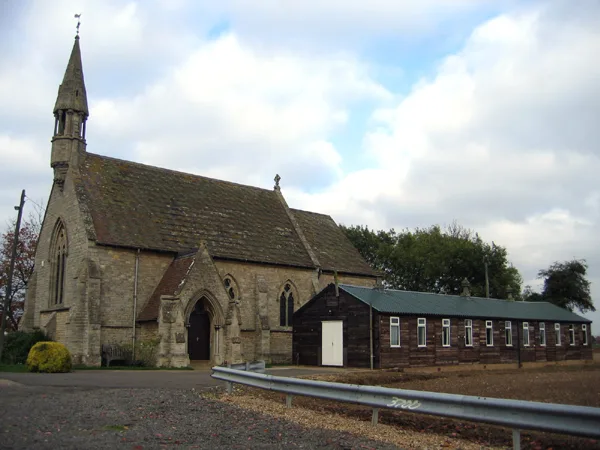
Social facility
Roads nearby
West End RoadFrampton House Res. Home
350 m
Bannister's LaneFrampton House Farm
350 m
Church Green LaneCherry Tree Farm
550 m
Badger's Lane600 m
Tulip Close600 m
Chapelgate650 m
Willington RoadPost Office, Mayfield House, Wellington House, White Gables, Little Explorers Nurseries, The Merry Monk Convenience Store
800 m
Multon Ings LaneClare Cottage
850 m
Cuthbert's LaneRedvers
850 m
Spotfield LaneSpotfield Lane, The Long House
850 m
Fen RoadFrampton West End, Fen Road B1391, Silvertoft Lane, Friths Farm, Frampton Fen
1,0 km
Bungley Lane1,0 km
Swift Gardens1,2 km
Silvertoft LaneSilvertoft Lane, Orange House Farm, Yew Tree Farm
1,2 km
London RoadMiddlegate Road, Millfield Lane West, Ivy Cottage
1,2 km
Nightingale Road1,2 km
Drainside NorthWelcome Farm
1,3 km
The Fairways1,3 km
Woodside RoadFern Cottage
1,3 km
DrainsideWilloughby House
1,4 km
Frampton BankSlate House Farm
1,4 km
Sentance Crescent1,4 km
Boston RoadMiddlegate Road, Woodlands Court, Allen, Briggs & Turner, International Food and Drink, Kirton Post Office
1,4 km
Claymond Chase1,5 km
Fyson Way1,5 km
Hemington Way1,5 km
Middlegate Road (West)Lighton Avenue
1,5 km
Cleymond ChaseKirton Bowling Club
1,6 km
Dennis Estate1,6 km
Walnut Road1,7 km
Boothby Close1,7 km
The Spinney1,7 km
Ash Drive1,7 km
Church Lane1,7 km
Priestley Close1,7 km
Kings Arms Close1,8 km
Pear Tree Road1,8 km
Hardwick Esate1,9 km
Penny Gardens1,9 km
Lighton AvenueThe Chestnuts, 97 Lighton Avenue, D'eyncourt, Middlegate Road, Walnut Road
1,9 km
Hardwick Estate1,9 km
Ostler Walk1,9 km
Clinics nearby
Kirton Medical Centre1,4 km
Convenience stores nearby
Costcutter1,8 km
Farmyards nearby
Cherry Holt Farm150 m
Chapel Farm600 m
Places of worship nearby
St Michael and All Angels350 m
Kirton Chapel1,3 km
Rivers nearby
Old Hammond Beck1,5 km
Public transport map Frampton CP Legend
| Railway | |
| Bus | |
| Tram |
Cycling map Frampton CP Legend
| Cycle path | |
| Cycle lane on road | |
| Cycling on bus lane | |
| Bicycle street | |
| Cyclists allowed | |
| Cyclists allowed, good surface | |
| No cycling | |
| Cobblestones |
| Long-distance cycle route | (depending on scale) | |
| Long-distance cycle route |
Walking map Frampton CP Legend
| Path |
| Long-distance hiking trail | (depending on scale) | |
| Long-distance hiking trail | ||
| No pedestrians |