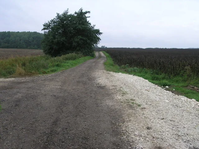
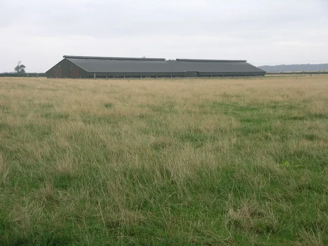
East Lindsey

This City map of East Lindsey shows the roads, paths and places of the local government district in Lincolnshire, England. East Lindsey covers around 1,765.0 square kilometres and had about 144,415 residents in 2022, compared with 136,600 in 2012. The district was established in 1974 and contains 188 subregions at the wider administrative level. Its landscape includes the Lincolnshire coast, the Lincolnshire Wolds, the Fens and waterways such as the River Witham.

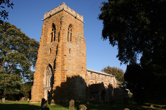
City map East Lindsey
John Readman, CC BY-SA 2.0 – Wikimedia Commons
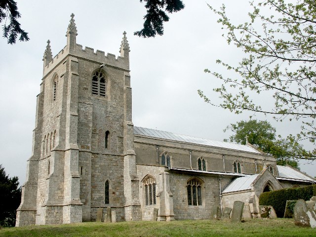
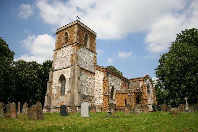
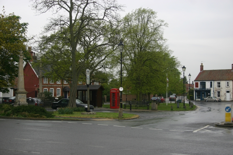
City map Sibsey
Dave Hitchborne, CC BY-SA 2.0 – Wikimedia Commons

Sibsey

Sibsey is a village and civil parish in Lincolnshire within East Lindsey. The subregion has a recorded population of 2,033 and lies in the low-lying fenland north of Boston.

Sibsey is connected with the surrounding Lincolnshire road network and agricultural landscape. Its administrative level is 10.

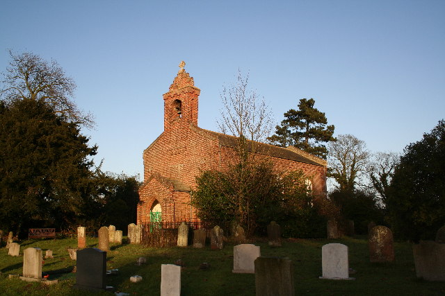
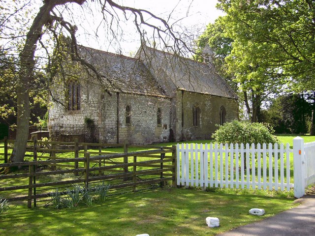
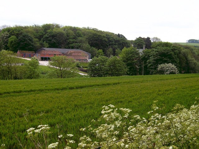
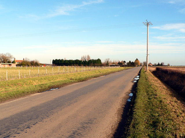
City map Frithville and Westville
Jo Turner, CC BY-SA 2.0 – Wikimedia Commons

Frithville and Westville

Frithville and Westville is a civil parish in East Lindsey, Lincolnshire. It has a recorded population of 644 and is situated in the flat agricultural country north of Boston.

The parish belongs to the fenland part of Lincolnshire and has administrative level 10. Nearby drainage channels reflect the region’s low elevation and managed farmland.

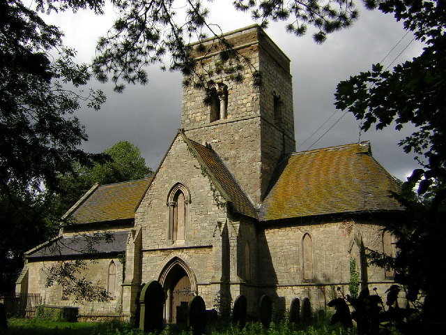
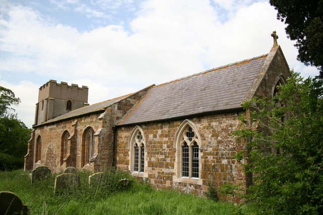
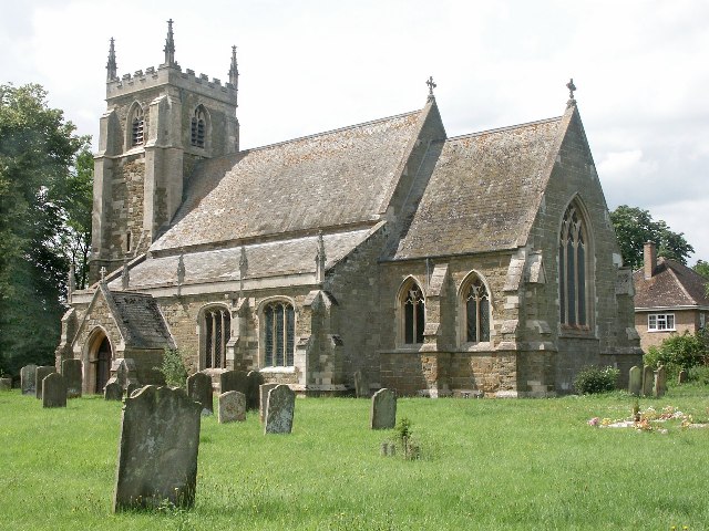
City map Langriville
Richard Croft, CC BY-SA 2.0 – Wikimedia Commons

Langriville

Langriville is a civil parish in Lincolnshire with a recorded population of 352. It lies in the fenland landscape of southern East Lindsey, north of the River Witham corridor.

The parish is administered at level 10 and consists primarily of rural settlement and agricultural land. Its position places it within the broad lowlands around Boston and Sibsey.

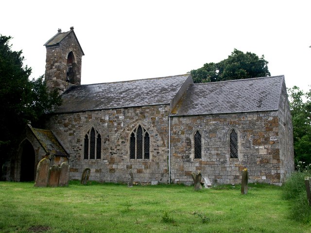
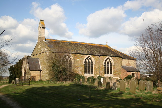
City map Thornton le Fen
Donnylad, CC BY-SA 2.0 – Wikimedia Commons

Thornton le Fen

Thornton le Fen is a civil parish in Lincolnshire with 347 recorded residents. The village lies in the fenland countryside of East Lindsey, close to the wider drainage landscape around Boston and the River Witham.

Its administrative level is 10, and the surrounding land is predominantly rural and agricultural. The name identifies the parish’s historical setting in the Lincolnshire fens.

City map Tetney
Dornsby, CC BY-SA 3.0 – Wikimedia Commons

Tetney

Tetney is a village in East Lindsey with a recorded population of 1,776. It stands near the Lincolnshire coast, west of the coastal settlements around North Cotes and Saltfleetby.

The parish landscape combines settlement, farmland and the flat coastal plain of Lincolnshire. Tetney is administered at level 10 within East Lindsey.

City map North Cotes
Stephen Horncastle, CC BY-SA 2.0 – Wikimedia Commons

North Cotes

North Cotes is a civil parish in Lincolnshire with 745 recorded residents. It occupies the coastal plain north of Tetney, close to the North Sea coast and the Humber Estuary approaches.

The parish has administrative level 10 and is surrounded by agricultural fields and coastal drainage channels. Its location places it among East Lindsey’s northern coastal communities.

City map Marshchapel
Richard Croft, CC BY-SA 2.0 – Wikimedia Commons

Marshchapel

Marshchapel is a village and civil parish in Lincolnshire with a recorded population of 770. The settlement lies on the coastal marshes south of North Cotes and west of the North Sea.

Its administrative level is 10, and the parish includes the flat agricultural terrain characteristic of northern East Lindsey. Drainage ditches and minor waterways are common features of this lowland landscape.

City map North Somercotes
Richard Croft, CC BY-SA 2.0 – Wikimedia Commons

North Somercotes

North Somercotes is a village and civil parish in Lincolnshire with 1,709 recorded residents. It lies close to the east coast, north of Saltfleetby and near the coastal marshes of East Lindsey.

The parish has administrative level 10 and includes farmland on the flat Lincolnshire coastal plain. Its location connects it with the chain of villages between the Humber area and Mablethorpe.

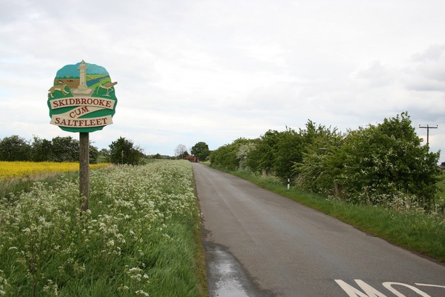
City map Skidbrooke with Saltfleet Haven
Richard Croft, CC BY-SA 2.0 – Wikimedia Commons

Skidbrooke with Saltfleet Haven

Skidbrooke with Saltfleet Haven is a civil parish in East Lindsey with a recorded population of 517. It lies on the Lincolnshire coast near the tidal Saltfleet Haven and the North Sea marshes.

The parish has administrative level 10 and includes low-lying agricultural and coastal land. Saltfleet Haven is a notable local water feature on the coast between North Somercotes and Saltfleetby.

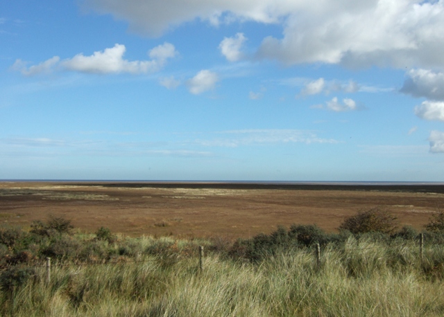
City map Saltfleetby
Simon Huguet, CC BY-SA 2.0 – Wikimedia Commons

Saltfleetby

Saltfleetby is a coastal civil parish in Lincolnshire with 543 recorded residents. It lies beside the North Sea, south of Saltfleet Haven and north of Theddlethorpe.

The parish has administrative level 10 and is associated with coastal marshes, dunes and agricultural land. Its position makes it part of East Lindsey’s continuous coastal zone.

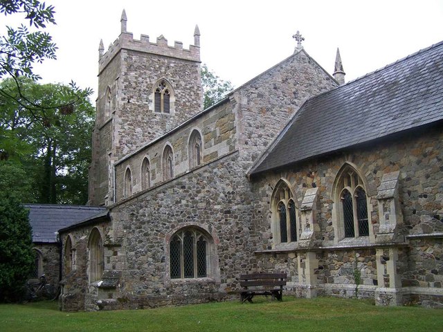
City map Theddlethorpe All Saints
Richard Hoare, CC BY-SA 2.0 – Wikimedia Commons

Theddlethorpe All Saints

Theddlethorpe All Saints is a village and civil parish in East Lindsey with a recorded population of 187. It lies close to the Lincolnshire coast, south of Saltfleetby and north of Mablethorpe.

The parish is administered at level 10 and occupies the flat coastal plain. Its setting includes farmland and the wider marsh landscape beside the North Sea.

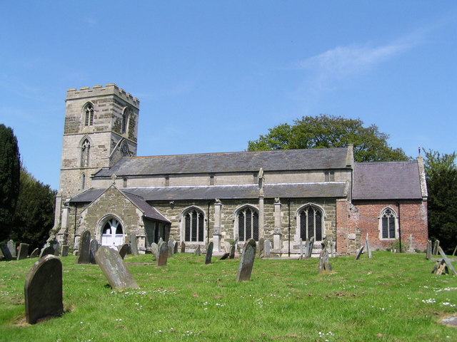
City map Theddlethorpe St Helen
Geoff Pick, CC BY-SA 2.0 – Wikimedia Commons

Theddlethorpe St Helen

Theddlethorpe St Helen is a village in Lincolnshire with a recorded population of 514. It is situated near the east coast, adjacent to Theddlethorpe All Saints and north of the resort town of Mablethorpe.

The settlement has administrative level 10 and lies within the low coastal landscape of East Lindsey. Fields, drainage channels and coastal habitats define the surrounding countryside.

City map Mablethorpe and Sutton
Richard Hoare, CC BY-SA 2.0 – Wikimedia Commons

Mablethorpe and Sutton

Mablethorpe and Sutton is a civil parish on the Lincolnshire coast with a recorded population of 12,669. Mablethorpe is a seaside town on the North Sea, south of Theddlethorpe and north of Huttoft.

The parish has administrative level 10 and includes the coastal resort area around Mablethorpe and Sutton-on-Sea. Its built-up coastline contrasts with the surrounding marshes and agricultural land.

City map Huttoft
John Readman, CC BY-SA 2.0 – Wikimedia Commons

Huttoft

Huttoft is a village in Lincolnshire with a recorded population of 608. It lies near the coast between Mablethorpe and Anderby, within East Lindsey’s flat coastal plain.

The village has administrative level 10 and is surrounded by farmland and drainage channels. Huttoft is part of the settlement belt extending south from Mablethorpe toward Chapel St Leonards.

City map Anderby
Alan Heardman, CC BY-SA 2.0 – Wikimedia Commons

Anderby

Anderby is a village and civil parish in Lincolnshire with 363 recorded residents. It is located close to the North Sea coast, south of Huttoft and north of Chapel St Leonards.

The parish has administrative level 10 and includes agricultural land on the coastal plain. The nearby coast contains sandy beaches and low-lying coastal habitats.

City map Chapel St. Leonards
Brian, CC BY-SA 2.0 – Wikimedia Commons

Chapel St. Leonards

Chapel St. Leonards is a village and civil parish on the Lincolnshire coast with a recorded population of 3,434. It lies between Anderby and Ingoldmells and functions as a coastal settlement beside the North Sea.

The parish has administrative level 10 and includes holiday accommodation, residential areas and open coastal land. Its position places it directly north of the major resort of Skegness.

City map Ingoldmells
Tony Atkin, CC BY-SA 2.0 – Wikimedia Commons

Ingoldmells

Ingoldmells is a coastal village, civil parish and resort in East Lindsey with a recorded population of 1,928. It lies on the North Sea coast between Chapel St Leonards and Skegness.

The parish has administrative level 10 and is associated with a concentrated resort landscape. Its coastal location forms part of the built-up seaside corridor south of Mablethorpe.

City map Skegness
Mr M Evison, CC BY-SA 2.0 – Wikimedia Commons

Skegness

Skegness is a seaside town and civil parish in East Lindsey with a recorded population of 21,127. It stands on the Lincolnshire coast and is one of the principal seaside resorts on the North Sea.

The town has administrative level 10 and lies south of Ingoldmells, beside beaches and the coastal promenade area. Skegness is the largest recorded settlement in the listed coastal part of East Lindsey.

City map Croft
Richard Croft, CC BY-SA 2.0 – Wikimedia Commons

Croft

Croft is a village and civil parish in Lincolnshire with a recorded population of 904. It lies inland from Skegness, within the flat agricultural landscape of southern East Lindsey.

The parish has administrative level 10 and is connected with the rural area between Skegness, Wainfleet and Friskney. Its surroundings include cultivated fields and drainage channels.

City map Wainfleet St Mary
Dave Hitchborne, CC BY-SA 2.0 – Wikimedia Commons

Wainfleet St Mary

Wainfleet St Mary is a village in Lincolnshire with a recorded population of 1,045. It lies near Wainfleet and the Maud Foster Drain, in the lowland countryside west of Skegness.

The parish has administrative level 10 and forms part of the agricultural fenland around the Wainfleet area. Its waterways reflect the extensive drainage system of southern Lincolnshire.

City map Friskney
Richard Croft, CC BY-SA 2.0 – Wikimedia Commons

Friskney

Friskney is a village and civil parish in Lincolnshire with a recorded population of 1,554. It lies in the flat fenland between Wainfleet and the Lincolnshire coast.

The parish has administrative level 10 and contains agricultural land crossed by drainage channels. Friskney belongs to the rural lowlands north of Boston and west of the coastal resorts.

City map Binbrook
Richard Croft, CC BY-SA 2.0 – Wikimedia Commons

Binbrook

Binbrook is a village in Lincolnshire with a recorded population of 923. It lies in the eastern part of the Lincolnshire Wolds, west of the coastal plain and north of Louth.

The village has administrative level 10 and occupies higher, rolling ground than the fenland settlements near the coast. The surrounding Wolds are known for chalk hills, dry valleys and agricultural fields.

City map Wyham cum Cadeby
John Beal, CC BY-SA 2.0 – Wikimedia Commons

Wyham cum Cadeby

Wyham cum Cadeby is a civil parish in Lincolnshire with a recorded population of 27. It lies in the rural Lincolnshire Wolds, north of Louth and west of the coastal settlements.

The parish has administrative level 10 and is one of the smallest listed communities in East Lindsey by population. Its landscape consists mainly of open farmland and Wolds countryside.

City map Ludborough
Richard Croft, CC BY-SA 2.0 – Wikimedia Commons

Ludborough

Ludborough is a village in Lincolnshire with a recorded population of 198. It lies in the Lincolnshire Wolds west of the coastal plain and north of Louth.

The village has administrative level 10 and is surrounded by rolling agricultural land. Ludborough is part of the rural Wolds area between Grimsby and East Lindsey’s central settlements.

City map North Thoresby
Richard Croft, CC BY-SA 2.0 – Wikimedia Commons

North Thoresby

North Thoresby is a village and civil parish in Lincolnshire with 1,163 recorded residents. It lies between Grimsby and Louth, on the western edge of East Lindsey near the Lincolnshire Wolds.

The parish has administrative level 10 and combines a substantial village with surrounding farmland. Its location provides a transition between the Wolds and the low coastal plain.

City map Grainsby
Richard Croft, CC BY-SA 2.0 – Wikimedia Commons

Grainsby

Grainsby is a hamlet and civil parish in Lincolnshire with a recorded population of 52. It lies in the rural Wolds area south of Grimsby and north-west of Louth.

The parish has administrative level 10 and is surrounded by rolling farmland. Grainsby is one of the smaller settlements in the western part of East Lindsey.

City map Waithe
Richard Croft, CC BY-SA 2.0 – Wikimedia Commons

Waithe

Waithe is a hamlet in Lincolnshire with a recorded population of 24. It lies in the Lincolnshire Wolds, close to Grainsby and north-west of Louth.

The settlement has administrative level 10 and is surrounded by open agricultural land. Its small size reflects the dispersed rural settlement pattern of the Wolds.

City map Holton le Clay
Dornsby, CC0 – Wikimedia Commons

Holton le Clay

Holton le Clay is a village and civil parish in Lincolnshire with a recorded population of 3,823. It lies south of Grimsby, between the Humber-side urban area and the Lincolnshire Wolds.

The parish has administrative level 10 and is one of the larger inland settlements in northern East Lindsey. Its surroundings include farmland and the lower slopes west of the coastal plain.

City map Fulstow
Dave Hitchborne, CC BY-SA 2.0 – Wikimedia Commons

Fulstow

Fulstow is a village in Lincolnshire with a recorded population of 538. It lies in the northern part of East Lindsey, east of the Lincolnshire Wolds and south-east of Grimsby.

The village has administrative level 10 and is surrounded by agricultural land. Its position connects the inland Wolds villages with the coastal plain near Grainthorpe and Tetney.

City map Covenham St Bartholomew
Dave Hitchborne, CC BY-SA 2.0 – Wikimedia Commons

Covenham St Bartholomew

Covenham St Bartholomew is a village and civil parish in Lincolnshire with a recorded population of 210. It lies east of Louth, near the transition from the Lincolnshire Wolds to the coastal lowlands.

The parish has administrative level 10 and contains rural farmland around a small settlement. It is located close to Covenham St Mary and the villages of Grainthorpe and Yarburgh.

City map Grainthorpe
Stephen Horncastle, CC BY-SA 2.0 – Wikimedia Commons

Grainthorpe

Grainthorpe is a village in Lincolnshire with a recorded population of 668. It lies on the northern coastal plain, east of Louth and close to the North Sea marshes.

The village has administrative level 10 and is surrounded by farmland and drainage channels. Grainthorpe forms part of the rural settlement belt between Fulstow and the coast.

City map Covenham St Mary
Dave Hitchborne, CC BY-SA 2.0 – Wikimedia Commons

Covenham St Mary

Covenham St Mary is a village and civil parish in East Lindsey with a recorded population of 129. It lies east of Louth near Covenham St Bartholomew and the northern Lincolnshire coastal plain.

The parish has administrative level 10 and is set within agricultural countryside. Its location places it between the rolling Wolds and the flat land leading toward Grainthorpe and the North Sea.

City map Yarburgh
Richard Croft, CC BY-SA 2.0 – Wikimedia Commons

Yarburgh

Yarburgh is a village in Lincolnshire with a recorded population of 164. It lies east of Louth, near the villages of Utterby and Covenham St Mary.

The village has administrative level 10 and is surrounded by farmland on the eastern side of the Lincolnshire Wolds. Its rural setting connects the inland market town of Louth with the coastal plain.

City map Utterby
Richard Croft, CC BY-SA 2.0 – Wikimedia Commons

Utterby

Utterby is a village and civil parish in East Lindsey with a recorded population of 304. It lies east of Louth in the rural countryside between the Wolds and the coastal marshes.

The parish has administrative level 10 and includes agricultural land around the settlement. Nearby villages include Yarburgh, North Ormsby and the two Cockerington parishes.

City map North Ormsby
John Beal, CC BY-SA 2.0 – Wikimedia Commons

North Ormsby

North Ormsby is a village in Lincolnshire with a recorded population of 43. It lies in the Lincolnshire Wolds north of Louth and west of the coastal plain.

The settlement has administrative level 10 and is surrounded by rolling farmland. North Ormsby is one of the smallest listed communities in the Wolds part of East Lindsey.

City map Calcethorpe with Kelstern
Richard Croft, CC BY-SA 2.0 – Wikimedia Commons

Calcethorpe with Kelstern

Calcethorpe with Kelstern is a civil parish in Lincolnshire with a recorded population of 62. It lies in the Lincolnshire Wolds west of Louth, among rolling chalk farmland.

The parish has administrative level 10 and contains two small rural communities. Its landscape differs from the flat fenland around East Lindsey’s coastal settlements.

City map South Cockerington
Richard Croft, CC BY-SA 2.0 – Wikimedia Commons

South Cockerington

South Cockerington is a village in Lincolnshire with a recorded population of 218. It lies east of Louth, close to North Cockerington and the villages of Alvingham and Keddington.

The village has administrative level 10 and is surrounded by farmland in the transition zone between the Wolds and the coastal plain. Local waterways drain eastward toward the coast.

City map North Cockerington
Simon Huguet, CC BY-SA 2.0 – Wikimedia Commons

North Cockerington

North Cockerington is a village and civil parish in Lincolnshire with a recorded population of 188. It lies east of Louth and north of South Cockerington in rural East Lindsey.

The parish has administrative level 10 and contains agricultural land on the edge of the Lincolnshire Wolds. Its nearby settlements include Utterby, Alvingham and Fotherby.

City map Conisholme
Ian S, CC BY-SA 2.0 – Wikimedia Commons

Conisholme

Conisholme is a village in Lincolnshire with a recorded population of 57. It lies east of Louth, near the Cockerington parishes and the lowland route toward the coast.

The village has administrative level 10 and is surrounded by agricultural fields. Conisholme belongs to the rural settlement network of central East Lindsey.

City map Alvingham
Dennis Wetherley, CC BY-SA 2.0 – Wikimedia Commons

Alvingham

Alvingham is a village and civil parish in Lincolnshire with a recorded population of 268. It lies east of Louth, near the River Lud and the villages of Keddington and North Cockerington.

The parish has administrative level 10 and includes farmland in the eastern foothills of the Lincolnshire Wolds. The River Lud runs through the wider Louth area toward the coastal lowlands.

City map Keddington
Richard Croft, CC BY-SA 2.0 – Wikimedia Commons

Keddington

Keddington is a village and civil parish in Lincolnshire with a recorded population of 296. It lies east of Louth, near Alvingham and the lower valley of the River Lud.

The parish has administrative level 10 and is surrounded by agricultural land. Its location connects Louth with the villages of the eastern coastal plain.

City map Brackenborough with Little Grimsby
Patrick Mackie, CC BY-SA 2.0 – Wikimedia Commons

Brackenborough with Little Grimsby

Brackenborough with Little Grimsby is a civil parish in Lincolnshire with a recorded population of 83. It lies north-east of Louth, close to the edge of the Lincolnshire Wolds.

The parish has administrative level 10 and includes small rural settlements surrounded by agricultural land. Its location is near the route between Louth and the northern East Lindsey villages.

City map Fotherby
Dennis Wetherley, CC BY-SA 2.0 – Wikimedia Commons

Fotherby

Fotherby is a village in Lincolnshire with a recorded population of 439. It lies north-east of Louth near the River Lud and the villages of Brackenborough and Elkington.

The village has administrative level 10 and is surrounded by farmland at the eastern edge of the Lincolnshire Wolds. Its position places it close to the main routes approaching Louth.

City map Elkington
Dennis Wetherley, CC BY-SA 2.0 – Wikimedia Commons

Elkington

Elkington is a civil parish in Lincolnshire with a recorded population of 282. It lies north-east of Louth, between Fotherby and the rural settlements leading toward the coast.

The parish has administrative level 10 and contains agricultural land on the Wolds margin. The surrounding countryside includes rolling ground and lowland fields.

City map Louth
Jkslouth at English Wikipedia, Public domain – Wikimedia Commons

Louth

Louth is a town and civil parish in Lincolnshire with a recorded population of 17,376. It lies at the edge of the Lincolnshire Wolds and is commonly known as the gateway to the Wolds.

The town has administrative level 10 and is associated with the River Lud. St James’s Church in Louth has one of the tallest medieval parish church spires in England, making the town a significant historic centre of East Lindsey.

City map South Somercotes
Richard Croft, CC BY-SA 2.0 – Wikimedia Commons

South Somercotes

South Somercotes is a village in Lincolnshire with a recorded population of 230. It lies in the coastal plain south of Louth, near the inland side of the settlements around North Somercotes.

The village has administrative level 10 and is surrounded by flat agricultural land. Drainage channels are characteristic of this low-lying part of East Lindsey.

City map Wildmore
Richard Croft, CC BY-SA 2.0 – Wikimedia Commons

Wildmore

Wildmore is a civil parish in Lincolnshire with a recorded population of 547. It lies in the fenland south-west of East Lindsey, within the drained agricultural landscape near the River Witham.

The parish has administrative level 10 and is located north of Boston. Its flat terrain forms part of the wider Lincolnshire Fens, where waterways and drainage infrastructure cross the farmland.

City map Coningsby
Dave Hitchborne, CC BY-SA 2.0 – Wikimedia Commons

Coningsby

Coningsby is a town in East Lindsey with a recorded population of 4,543. It lies beside the River Witham in the central Lincolnshire fenland, near Tattershall and the route toward Horncastle.

The town has administrative level 10 and covers a recorded area of 14,670,000 square metres. Coningsby is closely associated with the surrounding low-lying agricultural landscape and the waterways of the Witham valley.

City map Tattershall
A. R. Yeo MortimerCat, CC BY 3.0 – Wikimedia Commons

Tattershall

Tattershall is a village in Lincolnshire with a recorded population of 2,663. It lies near the River Witham, south of Horncastle and close to Coningsby in central East Lindsey.

The village has administrative level 10 and covers a recorded area of 6,910,000 square metres. Tattershall Castle, a major red-brick medieval castle, is one of the best-known historic buildings in the district.

City map Tattershall Thorpe
Dave Hitchborne, CC BY-SA 2.0 – Wikimedia Commons

Tattershall Thorpe

Tattershall Thorpe is a hamlet in Lincolnshire with a recorded population of 297. It lies near Tattershall and Coningsby on the edge of the Lincolnshire Fens.

The hamlet has administrative level 10 and is surrounded by agricultural land and waterways associated with the River Witham basin. Its position places it close to Tattershall Castle and the central East Lindsey road network.

City map Tumby
Ian Carrington, CC BY-SA 2.0 – Wikimedia Commons

Tumby

Tumby is a village and civil parish in East Lindsey with a recorded population of 209. It lies in the rural fenland south of Tattershall and east of the wider River Witham corridor.

The parish has administrative level 10 and is surrounded by flat agricultural fields. Tumby belongs to the central lowland landscape between Coningsby, Revesby and Woodhall Spa.

City map Mareham le Fen
Dave Hitchborne, CC BY-SA 2.0 – Wikimedia Commons

Mareham le Fen

Mareham le Fen is a village in Lincolnshire with a recorded population of 973. It lies south-east of Horncastle on the edge of the Lincolnshire Fens, near the route toward Coningsby.

The village has administrative level 10 and is surrounded by drained agricultural land. Its location marks the transition between the higher ground around Horncastle and the flat fenland to the east.

City map Revesby
Richard Croft, CC BY-SA 2.0 – Wikimedia Commons

Revesby

Revesby is a village and civil parish in East Lindsey with a recorded population of 253. It lies south-east of Horncastle, between the Lincolnshire Wolds and the fenland around Coningsby.

The parish has administrative level 10 and includes rural agricultural land. Revesby is near Wood Enderby, Tumby and the wider River Witham drainage area.

City map Wood Enderby
Richard Croft, CC BY-SA 2.0 – Wikimedia Commons

Wood Enderby

Wood Enderby is a village in Lincolnshire with a recorded population of 135. It lies south-east of Horncastle and near Revesby, within the transition between the Wolds and the Fens.

The village has administrative level 10 and is surrounded by farmland. Its rural setting includes the small settlements and drainage channels typical of central East Lindsey.

City map Haltham
Dave Hitchborne, CC BY-SA 2.0 – Wikimedia Commons

Haltham

Haltham is a village in Lincolnshire with a recorded population of 134. It lies near Horncastle, on the western side of the central East Lindsey lowlands.

The village has administrative level 10 and is surrounded by agricultural land near the transition from the Lincolnshire Wolds to the fenland. Haltham is located close to Kirkby on Bain and Woodhall Spa.

City map Kirkby on Bain
Richard Croft, CC BY-SA 2.0 – Wikimedia Commons

Kirkby on Bain

Kirkby on Bain is a village and civil parish in Lincolnshire with a recorded population of 313. It lies near the River Witham and the River Bain, north-west of Woodhall Spa.

The parish has administrative level 10 and covers a recorded area of 7,310,000 square metres. Its location combines river valley land with the heath and woodland landscapes of central Lincolnshire.

City map Woodhall Spa
David Wright, CC BY-SA 2.0 – Wikimedia Commons

Woodhall Spa

Woodhall Spa is a civil parish and village in Lincolnshire with a recorded population of 4,129. It lies near the River Witham and the edge of the Lincolnshire Fens, south of Horncastle.

The parish has administrative level 10 and covers a recorded area of 13,420,000 square metres. Woodhall Spa is known for its spa heritage, woodland setting and proximity to the National Golf Centre.

City map Carrington
Richard Croft, CC BY-SA 2.0 – Wikimedia Commons

Carrington

Carrington is a village in the civil parish of Carrington and New Bolingbroke, East Lindsey, with a recorded population of 554. It lies in the southern Lincolnshire Fens, north of Boston.

The village has administrative level 10 and is surrounded by flat, drained agricultural land. Its setting includes the waterways and field systems characteristic of the fenland around Wildmore and Eastville.

City map Eastville
Rodney Burton, CC BY-SA 2.0 – Wikimedia Commons

Eastville

Eastville is a village and civil parish in Lincolnshire with a recorded population of 247. It lies in the low-lying fenland south of East Lindsey, close to Carrington and north of Boston.

The parish has administrative level 10 and is surrounded by agricultural fields crossed by drainage channels. Eastville belongs to the drained marsh landscape of southern Lincolnshire.

City map Midville
Richard Croft, CC BY-SA 2.0 – Wikimedia Commons

Midville

Midville is a village and civil parish in Lincolnshire with a recorded population of 151. It lies in the southern East Lindsey fens near Carrington and Eastville.

The parish has administrative level 10 and is surrounded by flat agricultural land. Local drainage channels connect the settlement with the wider fenland water-management system north of Boston.

Data sources: OpenStreetMap (ODbL), Wikidata (CC0) · Image: Wikimedia Commons

East Lindsey – Facts

Inhabitants 144415
Area 1765.0 km²
Subregions 188
Inception 1974
Located in Lincolnshire
Country United Kingdom
Website http://www.e-lindsey.gov.uk/

Data source: Wikidata (CC0)