
Walnut Close in Ruskington
Walnut Close in Ruskington in North Kesteven is a residential street and runs in a north-south direction starting from Tomlinson Way and crosses East Close. Walnut Close also exists in Waddington.
- Road Type
- residential street
- Route
- north-south
Image
Hofläden
Pharmacy
Petrol stations
Bus stops
Cafés
Police stations
Stations
Convenience stores
Pubs
Post offices
Library
Bicycle parkings
Roads nearby
East Close100 m
Stray Green150 m
Newton Lane150 m
Parkfield RoadRuskington Community Police Box
150 m
Tomlinson Way150 m
Park-Lea200 m
Fen RoadClayfield Farm, Glen Garry Farm, Hillside Estate
200 m
Whitehouse Road200 m
Jubilee Street200 m
High Street NorthRuskington Post Office, Lincolnshire Co-op Pharmacy, Poppy's Place, The Red Lion
200 m
Pinfold Way250 m
High Street SouthOne Stop Ruskington
250 m
Chestnut Street250 m
Hornbeam Close250 m
Sessile Crescent300 m
Holme Lane300 m
Poplar Close300 m
Silver Street350 m
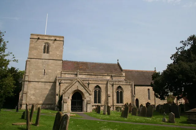
Manor StreetAll Saints Church, Chaos Discount Store
350 m
Church StreetRuskington, Shoulder of Mutton
350 m
Church View350 m
Chapel Street450 m
Oakland Crescent450 m
Hillside Estate450 m
Northfield Road450 m
Pinfold Lane450 m
West Gate450 m
Lindum Park450 m
Station RoadRuskington Library
500 m
Priory Park500 m
Priory RoadLakeview
500 m
Bellview Road500 m
Ruskington Train StationRuskington, Ruskington Train Station
500 m
Northfield Close500 m
Queensway550 m
Millview Road550 m
Tennyson Road600 m
Buildings nearby
The Black Bull Public House450 m
Community centres nearby
Ruskington Village Hall300 m
Fast food restaurants nearby
Elite Fish and Chips150 m
Gardens nearby
Garden of Remembrance450 m
Places of worship nearby
Ruskington Free Church250 m
Ruskington Methodist Church400 m
South Lincs Church550 m
Recreation grounds nearby
Ruskington Playing Fields300 m
Restaurants nearby
Thai Street Food200 m
Retail areas nearby
Ruskington Garden Centre100 m
Streams nearby
The Beck500 m
Supermarkets nearby
Lincolnshire Co-op250 m
Public transport map Ruskington Legend
| Railway | |
| Bus | |
| Tram |
Cycling map Ruskington Legend
| Cycle path | |
| Cycle lane on road | |
| Cycling on bus lane | |
| Bicycle street | |
| Cyclists allowed | |
| Cyclists allowed, good surface | |
| No cycling | |
| Cobblestones |
| Long-distance cycle route | (depending on scale) | |
| Long-distance cycle route |
Walking map Ruskington Legend
| Path |
| Long-distance hiking trail | (depending on scale) | |
| Long-distance hiking trail | ||
| No pedestrians |