
westgate in Ruskington
Westgate in Ruskington in North Kesteven is an asphalted residential street. No sidewalks. There is no cycle path. It runs as a one-way street in a south-north direction starting from Manor Street and ends at West Gate. westgate also exists in Sleaford.
- Road Type
- residential street
- Route
- north-south
Image
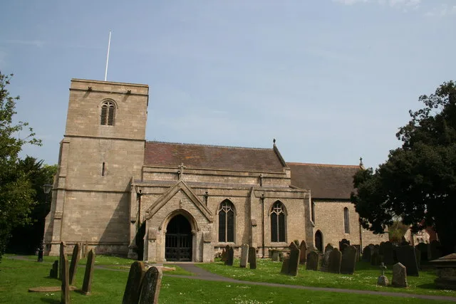
Fast food restaurants
Petrol stations
Post offices
Restaurants
Stations
Bus stops
Car repair shops
Carpet shops
Library
Police stations
Bicycle parkings
Convenience stores
Pubs
Beauty salons
Pharmacy
Tattoo studios
Dentist
Roads nearby
West Gate100 m
Pinfold Lane100 m
Manor StreetAll Saints Church, Chaos Discount Store
100 m
Manor Close150 m
Church View200 m
Chapel Street200 m
Edinburgh Road200 m
Arnhem Avenue200 m
Greenfinch Close200 m
Queensway250 m
Church StreetRuskington, Shoulder of Mutton
250 m
Rectory RoadSpar, Ruskington Service Station, DC Baxter Motors, Daily Deli
300 m
The Paddock300 m
Pinfold Way300 m
High Street South300 m
Northfield Crescent300 m
Saint Clements Road350 m
Silver Street350 m
Millview Road350 m
Jubilee Street350 m
High Street NorthRuskington Post Office, Lincolnshire Co-op Pharmacy, The Red Lion, Reflections by Emily, Bryan Ruby Carpets & Flooring, Golden Phoenix, Sim1nk Tattoo, Thai Street Cafe, Ruskington Dental Practice
350 m
Tennyson Road350 m
Northfield Road350 m
Northfield Close350 m
Parkfield RoadRuskington Community Police Box
400 m
All Saints Close400 m
Cornwall Way400 m
Station RoadRuskington Library
400 m
Stray Green400 m
Bourne Lane400 m
Welland Close450 m
East Close450 m
Park-Lea450 m
Bellview Road450 m
Turn Close450 m
Holme Lane450 m
The Firs500 m
Hawthorn Close500 m
Nene Close500 m
Hurn Close500 m
Buildings nearby
The Black Bull Public House250 m
Community centres nearby
Ruskington Village Hall400 m
Gardens nearby
Garden of Remembrance350 m
Places of worship nearby
South Lincs Church100 m
Ruskington Methodist Church200 m
Recreation grounds nearby
Ruskington Playing Fields400 m
School buildings nearby
Ruskington Campus400 m
Streams nearby
The Beck100 m
Supermarkets nearby
Lincolnshire Co-op300 m
Public transport map Ruskington Legend
| Railway | |
| Bus | |
| Tram |
Cycling map Ruskington Legend
| Cycle path | |
| Cycle lane on road | |
| Cycling on bus lane | |
| Bicycle street | |
| Cyclists allowed | |
| Cyclists allowed, good surface | |
| No cycling | |
| Cobblestones |
| Long-distance cycle route | (depending on scale) | |
| Long-distance cycle route |
Walking map Ruskington Legend
| Path |
| Long-distance hiking trail | (depending on scale) | |
| Long-distance hiking trail | ||
| No pedestrians |