
Acre Road in London Borough of Barking and Dagenham
Acre Road in London Borough of Barking and Dagenham is a residential street. It runs in a east direction starting from Rookery Crescent and crosses Brook Avenue, Wilthorne Gardens, Beech Gardens and Boleyn Gardens and continues into Stratford Close. In the vicinity, there is a post box. The nearest bus stop in the vicinity is St Giles Avenue (approx. 100 m away). Acre Road also exists in London Borough of Merton.
- Road Type
- residential street
- Route
- east-west
Image
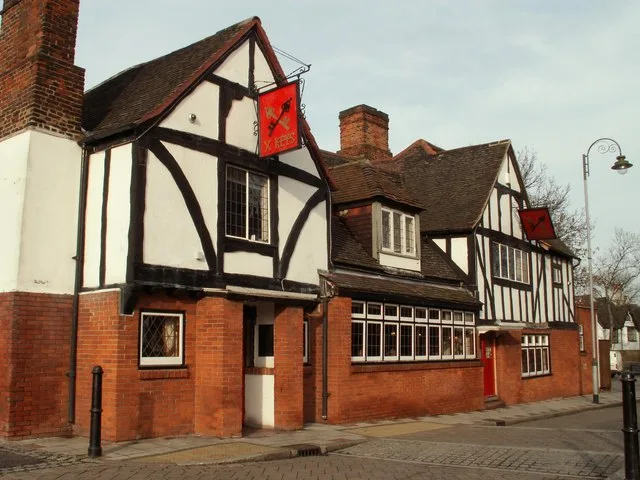
Post boxes
Roads nearby
Wilthorne Gardens50 m
Beech Gardens100 m
Rookery Crescent100 m
Brook Avenue100 m
Stratford Close150 m
Boleyn Gardens150 m
Farm Close150 m
St Giles Avenue200 m
St Giles Close200 m
Church Lane200 m
Ibscott Close250 m
Siviter WaySt Giles Avenue
250 m
Glebe Road250 m
Ballards RoadChurch Lane, Farm Close, Ridgewell Close, Oval Road North, Oval Road South
250 m
John Parker Close300 m
Hollidge Way350 m
Church Street350 m
Royal Parade350 m
Ridgewell Close450 m
Vicarage Road450 m
Ballards Close500 m
School Road600 m
Oval Road North650 m
Orchard Road700 m
Bookmakers nearby
William Claridge Ltd300 m
Buildings nearby
Thaxted House250 m
Bartletts House450 m
Commercial areas nearby
Petronne House250 m
Community centres nearby
Village Community Centre450 m
Jays Boys Club500 m
Convenience stores nearby
Krishna's Village Stores300 m
Fast food restaurants nearby
Gah Moon House300 m
Golden Dragon350 m
Chunky350 m
Gardens nearby
Rose Garden400 m
Hospital nearby
Grays Court Community Hospital350 m
Nature reserves nearby
Dagenham Village Churchyard250 m
Parks nearby
Old Dagenham Park450 m
Playgrounds nearby
Tyrell Gardens Play Area400 m
Public buildings nearby
Ford Road Children's Centre550 m
Recreation grounds nearby
The Leys300 m
Schools nearby
Village Infants School500 m
William Ford Church of England Junior School550 m
Social centres nearby
Rectory Road Social Club500 m
Sports centres nearby
Pavillion250 m
Dagenham Park Leisure Centre550 m
Streams nearby
Wantz Stream550 m
Tracks nearby
BMX Track200 m
Village greens nearby
Dagenham Village Green300 m
Public transport map London Borough of Barking and Dagenham Legend
| Railway | |
| Bus | |
| Tram |
Cycling map London Borough of Barking and Dagenham Legend
| Cycle path | |
| Cycle lane on road | |
| Cycling on bus lane | |
| Bicycle street | |
| Cyclists allowed | |
| Cyclists allowed, good surface | |
| No cycling | |
| Cobblestones |
| Long-distance cycle route | (depending on scale) | |
| Long-distance cycle route |
Walking map London Borough of Barking and Dagenham Legend
| Path |
| Long-distance hiking trail | (depending on scale) | |
| Long-distance hiking trail | ||
| No pedestrians |