
Beadles Parade in London Borough of Barking and Dagenham
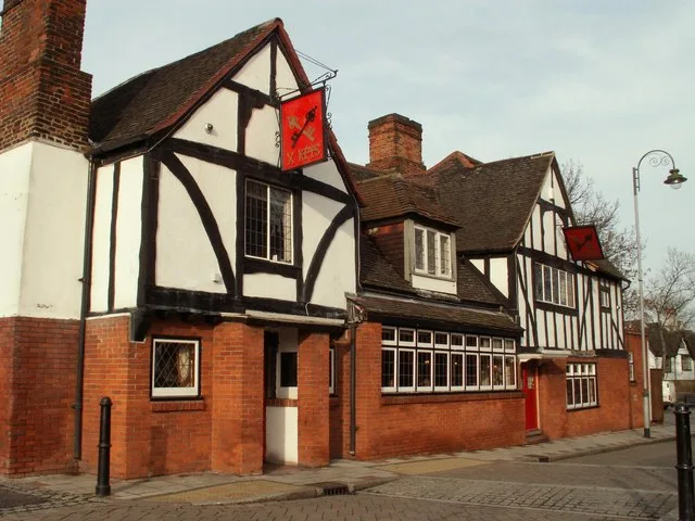
Beadles Parade in London Borough of Barking and Dagenham is a pedestrian zone and it runs in a north-south direction starting from Western Avenue and ends at Rainham Road South.
- Road Type
- pedestrian zone
- Route
- north-south
Image
Petrol stations
Post boxes
Bus stops
Roads nearby
Shafter Road100 m
Mayswood Gardens150 m
Sandown Court150 m
York CloseDagenham East
150 m
Rainham Road SouthBallards Road, Leys Avenue, Oxlow Lane, Aldborough Road, Rainham Road South / Dagenham Road, Dagenham East Station, Reede Road, Victoria Road, Hand Car Wash and Valeting Centre, Sandown Avenue, Dagenham East
400 m
Yewtree Avenue400 m
Durham Road450 m
Foxlands Crescent650 m
Beauty salons nearby
The Nail Shop500 m
Bookmakers nearby
Coral100 m
Ladbrokes450 m
Buildings nearby
Specialist Pharmacy600 m
Cafés nearby
Gunay's Cafe50 m
Costa450 m
Charity shops nearby
Step Up500 m
Colleges nearby
Brook Sixth Form & Academy500 m
Community centres nearby
Bereavement Centre100 m
Convenience stores nearby
Teenas Food Store50 m
Dagenham Convenience Store50 m
Londis100 m
Tesco Express150 m
Vida & Sons Shop450 m
Mayfair Convenience Stores450 m
Bims Food Emporium500 m
Dry cleaner's nearby
Leyla Dry Cleaners450 m
Electronics shops nearby
Appliances Shop UK Ltd50 m
Fast food restaurants nearby
Beadles Parade Fish & Chips50 m
Favorite 'N' Tasty50 m
Ali's Kitchen400 m
Florist's nearby
Bespoke Flowers100 m
Funeral directors nearby
West & Coe Funeral Home100 m
Hairdresser's nearby
Kellys Barbers50 m
Shapes450 m
Hotels nearby
Travelodge400 m
Laundries nearby
HotPants50 m
Off-licences nearby
Dagenham East Wines100 m
Bottle Stop450 m
Pharmacies nearby
Day Lewis Pharmacy50 m
Places of worship nearby
Madina Foundation Dagenham East Islamic Centre400 m
Police stations nearby
Dagenham Police Station300 m
Pubs nearby
Pipe Major400 m
Railway stations nearby
Dagenham East station200 m
Restaurants nearby
Eden Peri Peri Dagenham450 m
Retail buildings nearby
Albany50 m
Dicvic Associates50 m
Local Staff Hire500 m
I&T Ventures500 m
Specialist shops nearby
Jewson150 m
Taxi ranks nearby
Gemini Cars450 m
Public transport map London Borough of Barking and Dagenham Legend
| Railway | |
| Bus | |
| Tram |
Cycling map London Borough of Barking and Dagenham Legend
| Cycle path | |
| Cycle lane on road | |
| Cycling on bus lane | |
| Bicycle street | |
| Cyclists allowed | |
| Cyclists allowed, good surface | |
| No cycling | |
| Cobblestones |
| Long-distance cycle route | (depending on scale) | |
| Long-distance cycle route |
Walking map London Borough of Barking and Dagenham Legend
| Path |
| Long-distance hiking trail | (depending on scale) | |
| Long-distance hiking trail | ||
| No pedestrians |