
Talbot Road in London Borough of Barking and Dagenham
Talbot Road in London Borough of Barking and Dagenham is an asphalted, lit minor road. The road has sidewalks. It runs in a south direction starting from Tilney Road and crosses Hedgemans Road and Dagenham Avenue and continues into Ford Road. Talbot Road also exists in London Borough of Sutton, City of Westminster, Royal Borough of Kensington and Chelsea, London Borough of Haringey and London Borough of Croydon.
- Road Type
- minor road
- Route
- north-south
Image
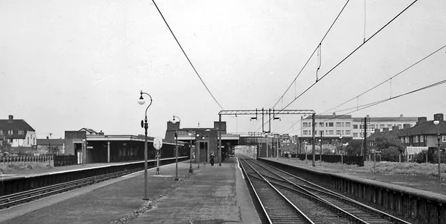
Stations
Locksmiths
Pharmacy
Bus stops
Roads nearby
Tilney RoadDagenham Heathway
150 m
Lloyd Road250 m
Dagenham Avenue300 m
Shortcrofts Road300 m
Spurling Road300 m
Ivyhouse RoadDagenham Heathway
300 m
Station Parade, HeathwayIbrahim Halal
300 m
HeathwayOxlow Lane, Arnold Road, Nutbrowne Road, Eastfield Road, Halbutt Street, Reede Road, Oglethorpe Road, Hedgemans Road, Church Elm Lane, Connor Road, Holgate Road, Timpson, Dagenham Heathway Station, Iceland, Dagenham
350 m
Shops nearby
Crystal Hair and Cosmetics300 m
Stardust Linen300 m
Magowurosere Foods300 m
Adult gaming centres nearby
MERKUR Slots300 m
Bakeries nearby
Angels Bakery300 m
Banks nearby
Nationwide350 m
Beauty salons nearby
Celebrities300 m
R&T World of Beauty300 m
Luxury Nails350 m
Bookmakers nearby
Paddy Power300 m
Coral300 m
Betfred350 m
Buildings nearby
Milner Elledge Solicitors300 m
Stoneshaw300 m
Balgores350 m
Towis Solicitors350 m
Butcher's nearby
Cash and Carry300 m
Cafés nearby
The Snack Bar300 m
Charity shops nearby
Richard House - Childrens Hospice Charity300 m
Sue Ryder350 m
Cosmetics shops nearby
R&T Cosmetics300 m
Paks Hair & Beauty350 m
Dry cleaner's nearby
Heathway Dry Cleaners300 m
Fast food restaurants nearby
Best Fish Bar300 m
Deans Peri-Peri300 m
Subway300 m
Papa John's350 m
Greengrocers nearby
Jawoo Foods300 m
Hairdresser's nearby
Classic Hair300 m
The Stylists Room350 m
Mobile phone shops nearby
Ace Mobiles300 m
Teem Communications350 m
Newsagent's nearby
Foxes Newsagents300 m
Pawnbrokers nearby
Gadget300 m
Cash Converters350 m
Pharmacies nearby
Waller Pharmacy350 m
Railway lines nearby
London, Tilbury & Southend Railway300 m
Railway stations nearby
Dagenham Heathway Station300 m
Restaurants nearby
Squires350 m
Subway lines nearby
District Line300 m
Subway stops nearby
2250 m
Public transport map London Borough of Barking and Dagenham Legend
| Railway | |
| Bus | |
| Tram |
Cycling map London Borough of Barking and Dagenham Legend
| Cycle path | |
| Cycle lane on road | |
| Cycling on bus lane | |
| Bicycle street | |
| Cyclists allowed | |
| Cyclists allowed, good surface | |
| No cycling | |
| Cobblestones |
| Long-distance cycle route | (depending on scale) | |
| Long-distance cycle route |
Walking map London Borough of Barking and Dagenham Legend
| Path |
| Long-distance hiking trail | (depending on scale) | |
| Long-distance hiking trail | ||
| No pedestrians |