
Craydene Road in London Borough of Bexley
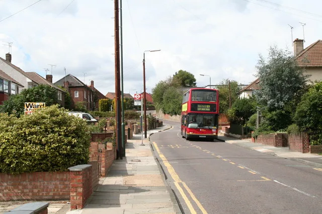
Craydene Road in London Borough of Bexley is a residential street and runs in a north-south direction starting from Peareswood Road.
- Road Type
- residential street
- Route
- north-south
Image
Stations
Bus stops
Roads nearby
Slade Gardens150 m
Masefield Close200 m
Burns Close200 m
Peareswood Road250 m
Freeland Way250 m
Slade Green RoadSlade Green, Grange Way, The Corner Pin
250 m
Newbery Road300 m
Clark Close300 m
Scott Crescent300 m
Page Crescent300 m
Maple Court300 m
Plantation Road300 m
Cloudesley Road350 m
Forest RoadForest Road / Slade Green Station, Forest Road / Bridge Road, Morrisons Daily
350 m
Bridge RoadBridge Road / Slade Green Road, Slade Green, Masefield Close, Bridge Road / Whitehall Lane, Bridge Road / Northend Road, Bexleyheath
400 m
Newham Way400 m
Dale View400 m
Richmer Road400 m
Quartz Close400 m
Whitehall LaneSlade Green, Whitehall Lane / Slade Green Station, Dale View, Whitehall Lane / Bridge Road, North End
450 m
Elm RoadSidcup / Carlton Road, The Green
450 m
Cedar Road450 m
Barnett Close450 m
Garnet Road450 m
Larkswood Close500 m
Bushey Court500 m
Oak Road500 m
Sun Court500 m
Lincoln Close550 m
Willow Road550 m
Moat LaneHowbury, Slade Green Junction
550 m
Hazel RoadHazel Road
600 m
Lincoln Road600 m
Ely Close600 m
Howbury LaneHowbury Lane / Slade Green Station, Lincoln Road, Perry Street Fork Junction
700 m
Thames RoadShearwood Crescent, Kennet Road, Howbury Lane, Thames Road, Medway Road, Mayplace Avenue
700 m
Thomas Road700 m
Convenience stores nearby
Shell Select500 m
Industrial buildings nearby
Slade Green DC Traction Substation600 m
Parks nearby
Howbury Lane Open Space600 m
Places of worship nearby
St Augustine of Canterbury350 m
Railway lines nearby
North Kent Line - Woolwich Branch550 m
Erith Loop650 m
North Kent Line - Slade Green Deport650 m
Slade Green Depot650 m
North Kent Line - Bexleyheath Line650 m
Bexleyheath Line650 m
North Kent Line750 m
Sheds nearby
London Bexley450 m
Public transport map London Borough of Bexley Legend
| Railway | |
| Bus | |
| Tram |
Cycling map London Borough of Bexley Legend
| Cycle path | |
| Cycle lane on road | |
| Cycling on bus lane | |
| Bicycle street | |
| Cyclists allowed | |
| Cyclists allowed, good surface | |
| No cycling | |
| Cobblestones |
| Long-distance cycle route | (depending on scale) | |
| Long-distance cycle route |
Walking map London Borough of Bexley Legend
| Path |
| Long-distance hiking trail | (depending on scale) | |
| Long-distance hiking trail | ||
| No pedestrians |