
Ashcroft Rise in London Borough of Croydon
Ashcroft Rise in London Borough of Croydon is a residential street and runs in a northeast-southwest direction starting from Deepfield Way and ends in a cul-de-sac.
- Road Type
- residential street
- Speed Limit
- 20 mph
- Route
- northeast-southwest
Image
Fast food restaurants
Charging stations
Places of worship
Off-licences
Bus stops
Hairdressers
Beauty salons
Cafés
Restaurants
Platforms
Stations
Convenience stores
Hardware shops
Roads nearby
Deepfield Way50 m
Cordrey Gardens100 m
Greenfield Link150 m
Asmar Close250 m
Woodhatch Spinney250 m
Hillars Heath Road250 m
Ullswater Crescent300 m
Byron Avenue300 m
Coulsdon RoadCearn Way, Old Coulsdon / Tudor Rose, Old Coulsdon Post Office, Holmes Pharmacy, Curry Leaf, Tudor Bakery, Danny's Fish & Chips, Hairdresser, Coral, Torio Hairdressing, Rowland Brothers, Old Coulsdon Centre for the retired, Pistachios in the park, Old Coulsdon, Old Coulsdon TSO, Oasis Academy Byron, Coulsdon Court Road, The Crossways, Coulsdon Common / The Fox, Windmill Close, Hawarden Road, Coulsdon Road / Lacey Drive, Taunton Lane, St Mary, Help of Christians Church, Londis, Old Coulsdon Pharmacy, Betfred, Hooks Dusk Til Dawn, Five Star Dry Cleaners, Cafe Shack, Admire, KM Barbers, S&S Hardware
350 m
Breakfield350 m
Redlands350 m
Station ApproachPurley, Eats & Bits, Tesco Express, Sanderstead, Triumph
350 m
Pipers Road350 m
Leaden HillPizzaExpress, Coulsdon Town
350 m
Rutherwick RiseBlueberry Gardens, Byron Avenue, Aldercroft, Nineacres Way, Coulsdon Wood
350 m
Stoats Nest Village350 m
Cearn Way400 m
Station Approach Road400 m
Blueberry Gardens400 m
Petersfield Crescent400 m
Aldercroft400 m
Nineacres Way450 m
Windermere RoadNew Birth African Methodist Episcopal Zion Church
450 m
Hartley Down450 m
Stoats Nest RoadStoats Nest Village, Star Chippy, Choice Food & Wine, Pearlescent Nail & Beauty, Ideal Hardware, The Hair Salon, Croydon Fancy Dress & Elite Balloons, David Potashnick Antiques, Windermere Road
450 m
Birchfield Close450 m
Dobles CloseDoble Motorcycles
450 m
Coulsdon Court Road500 m
Farthing WayFarthing Way, Couldson Town
500 m
Hartley Way600 m
Hartley Farm650 m
Shops nearby
Jati | Corido | Lindsey300 m
Apartment buildings nearby
Smitham Court350 m
Wynne House350 m
Buildings nearby
Symphony Coatings South East300 m
JH Lorimer Ltd300 m
Wilmot-Budgen Limited350 m
Coulsdon Ambulance Station400 m
Industrial areas nearby
Ullswater Industrial Estate300 m
Motorcycle shops nearby
Doble Motorcycles, Service Centre450 m
Parks nearby
Bleakfield Shaw500 m
Railway lines nearby
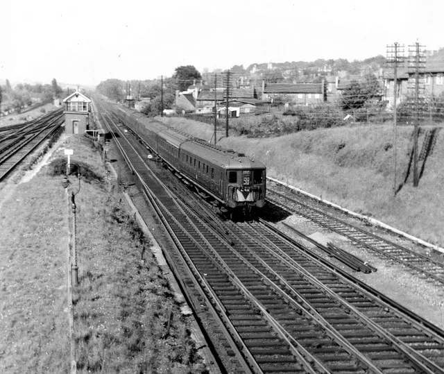
Brighton Main Line (Redhill Line)300 m
Brighton Main Line (Quarry Line)300 m
Tattenham Corner Line450 m
Residential areas nearby
Smitham Yard350 m
Retail areas nearby
Cyan300 m
Social facilities nearby
Clifton House550 m
Ticket shops nearby
Coulsdon Town railway station350 m
Warehouses nearby
Waitrose350 m
Public transport map London Borough of Croydon Legend
| Railway | |
| Bus | |
| Tram |
Cycling map London Borough of Croydon Legend
| Cycle path | |
| Cycle lane on road | |
| Cycling on bus lane | |
| Bicycle street | |
| Cyclists allowed | |
| Cyclists allowed, good surface | |
| No cycling | |
| Cobblestones |
| Long-distance cycle route | (depending on scale) | |
| Long-distance cycle route |
Walking map London Borough of Croydon Legend
| Path |
| Long-distance hiking trail | (depending on scale) | |
| Long-distance hiking trail | ||
| No pedestrians |