
Buckingham Avenue in London Borough of Ealing
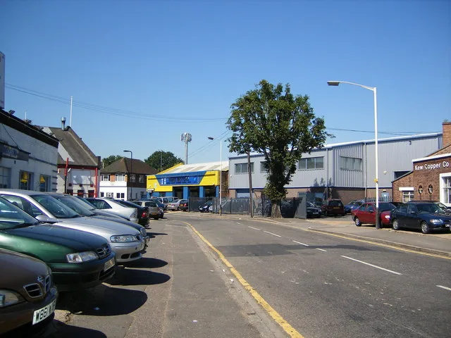
Buckingham Avenue in London Borough of Ealing is a residential street and runs in an east-west direction starting from Horsenden Lane South and ends in a cul-de-sac. Buckingham Avenue also exists in London Borough of Barnet, London Borough of Bexley and London Borough of Croydon.
- Road Type
- residential street
- Speed Limit
- 20 mph
- Route
- east-west
Image
Library
Cafés
Tourist information offices
Subway stops
Dentist
Bus stops
Roads nearby
Cecil Manning Close250 m
Periwood Crescent250 m
Doris Ashby Close250 m
Sunley Gardens250 m
Gilbert White Close250 m
Jubilee Road300 m
Grand Union Canal (Paddington Arm) towpathBallot Box Bridge
300 m
Horsenden Lane SouthDawlish Avenue, Perivale, Perivale Station, Perivale Library, Café Rendezvous, Buckingham Avenue
300 m
Salvia Gardens350 m
Selborne Gardens350 m
Horsenden Lane NorthBright Health Pharmacy, K & P Greenford Supermarket, Sudbury Hill Montessori School, Siragro, Vonns Sandwich Bar, Gucio Polish Deli, Solanki Gents, Fox, Kebab Pizza Burger, East European Food and Wine, Bilal Masjid Trust (Greenford), RS Printers, 1st Class Training, Kubuś
350 m
Chilham ClosePerivale
450 m
Scorton Avenue500 m
Tavistock Avenue550 m
Bleasdale Avenue550 m
Rhyl Road600 m
Colwyn Avenue600 m
Woodhouse Avenue650 m
Amenities nearby
Perivale Community Centre200 m
Body of waters nearby
Paddock Pond350 m
Buildings nearby
Hope Christian Centre150 m
Impact Community Arts Centre650 m
Golf courses nearby
Sudbury Golf Course250 m
Grass nearby
North Lawn250 m
South Lawn250 m
Rear Lawn300 m
Grasslands nearby
Upper Thrifts500 m
Home Mead and Long Mead500 m
Wood Field550 m
Huts nearby
3rd Perivale Scout Group400 m
Industrial areas nearby
Perivale Park150 m
Industrial buildings nearby
Coyle Equipment Services400 m
Car for Today, P&R Concrete, Owen Fabrications, D & C Transmissions, SC Recovery400 m
McRail500 m
Nature reserves nearby
Perivale Wood Local Nature Reserve300 m
Office buildings nearby
Celtheath Contract Furniture200 m
Parks nearby
Horsenden Lower Thrifts Field250 m
Railway lines nearby
New North Mainline400 m
Railway stations nearby
Perivale Station450 m
Railways under construction nearby
High Speed 2400 m
Recreation grounds nearby
Ealing Central Sports Ground550 m
Residential areas nearby
The Woodlands Estate150 m
Medway Village550 m
Scrublands nearby
Canal Wood550 m
Subway lines nearby
Central Line - Westbound550 m
Subway stops nearby
Eastbound Platform 2450 m
Westbound Platform 1500 m
Woodlands nearby
Elm Wood400 m
Hill Wood500 m
Public transport map London Borough of Ealing Legend
| Railway | |
| Bus | |
| Tram |
Cycling map London Borough of Ealing Legend
| Cycle path | |
| Cycle lane on road | |
| Cycling on bus lane | |
| Bicycle street | |
| Cyclists allowed | |
| Cyclists allowed, good surface | |
| No cycling | |
| Cobblestones |
| Long-distance cycle route | (depending on scale) | |
| Long-distance cycle route |
Walking map London Borough of Ealing Legend
| Path |
| Long-distance hiking trail | (depending on scale) | |
| Long-distance hiking trail | ||
| No pedestrians |