
Clayton Road in London Borough of Hillingdon
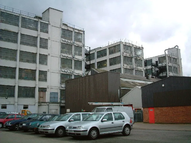
Clayton Road in London Borough of Hillingdon is a lit tertiary road. The road has sidewalks. It runs in a northwest direction starting from Station Approach and crosses Station Road, Blyth Road, Clarendon Road, Momento Hayes - Parking Approach Road, Printing House Lane and Trevor Road. It ends in a cul-de-sac. Clayton Road also exists in Royal Borough of Kingston upon Thames, London Borough of Havering and London Borough of Southwark.
- Road Type
- minor road
- Route
- southeast-northwest
Image
Pawnbrokers
Shopping malls
Bus stops
- bus lines U5
Roads nearby
Blyth RoadBlyth Road, Welcome
150 m
Betam Road200 m
Trevor Road250 m
Printing House LaneLexus Hayes (Service), Hayes Toyota (Service & Parts Only), Gate 2
250 m
Kestrel WaySolo AV
250 m
Dawley RoadSwallowfield Way, Pinkwell Avenue, Bolingbroke Way, Blyth Road
350 m
Material Walk350 m
Momento Hayes - Parking Approach Road400 m
Powerhouse Lane400 m
Pressing Lane450 m
Rostrever Gardens500 m
Clarendon RoadClarendon Road
550 m
Golden Crescent550 m
Nield Road600 m
Botwell LanePapa John's, Botwell Common, Willenhall Drive, Sycamore Avenue, Printing House Lane, Botwell Green, Ladbrokes, Specsavers, Exchange Point, Brother's Food Centre, HSBC UK, Hayes Methodist Church, Cash Converters
600 m
St Anselms Road650 m
Lannock Road650 m
Central Avenue700 m
Botwell Common RoadBotwell Common, Beechwood Avenue, Barra Hall Road, Orwell Close
700 m
Moray Avenue750 m
Forris Avenue750 m
Badgers Close750 m
Holmbury Gardens750 m
Second Avenue800 m
Orwell Close800 m
Chestnut Close850 m
Compton Road850 m
Buildings nearby
UBS Data Centre200 m
DIY stores nearby
Travis Perkins250 m
Apartment buildings nearby
Venue400 m
Canals nearby
Grand Union Canal450 m
Industrial areas nearby
Caxton Trading Estate450 m
Office buildings nearby
The Powerhouse350 m
Parks nearby
Lake Farm Country Park500 m
The Park600 m
Places of worship nearby
Quba Masjid & Islamic Centre550 m
Immaculate Heart of Mary600 m
Residential areas nearby
Masonry Place400 m
Residential buildings nearby
Enterprise House300 m
Rosso350 m
Danby400 m
Sienna400 m
Paros400 m
Schools nearby
Global Academy300 m
Supermarkets nearby
Lidl700 m
Warehouses nearby
Dhamecha Cash & Carry50 m
EMI Music Archive250 m
Crosspoint Distribution Park250 m
Public transport map London Borough of Hillingdon Legend
| Railway | |
| Bus | |
| Tram |
Cycling map London Borough of Hillingdon Legend
| Cycle path | |
| Cycle lane on road | |
| Cycling on bus lane | |
| Bicycle street | |
| Cyclists allowed | |
| Cyclists allowed, good surface | |
| No cycling | |
| Cobblestones |
| Long-distance cycle route | (depending on scale) | |
| Long-distance cycle route |
Walking map London Borough of Hillingdon Legend
| Path |
| Long-distance hiking trail | (depending on scale) | |
| Long-distance hiking trail | ||
| No pedestrians |