
Holycross Close in London Borough of Sutton
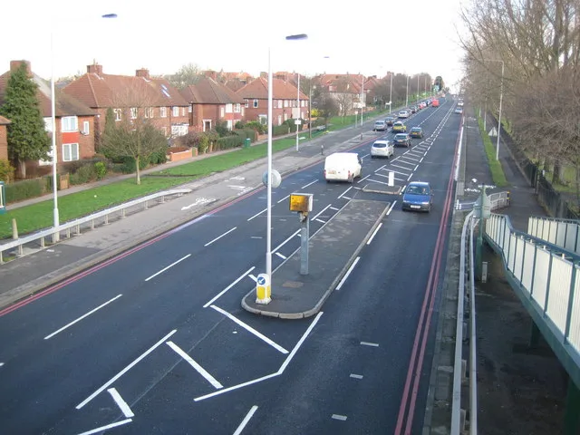
Holycross Close in London Borough of Sutton is a residential street and it runs in a northeast-southwest direction starting from Hartland Road and ends in a cul-de-sac.
- Road Type
- residential street
- Route
- northeast-southwest
Image
DIY stores
Pharmacy
Post offices
Car dealerships
Bus stops
Roads nearby
Hartland Road100 m
Iona Close100 m
Halesowen Road100 m
Hexham Road200 m
Garendon Road200 m
Love LaneHail & Ride Love Lane
250 m
Glastonbury Road250 m
Keynsham Road250 m
Kirksted Road250 m
Hyde Walk250 m
Flaxley Road300 m
Garendon Gardens300 m
Hunston Road300 m
Keynsham Walk350 m
Glenthorne Close400 m
Damask Court450 m
Reigate Avenue450 m
Goodson House450 m
Haines Walk450 m
Cleeve Way500 m
Wheatcroft Court500 m
Pilgrim Close500 m
Green LaneHail & Ride Lincoln Road, Hail & Ride Hazlemere Gardens, Dorchester Road, Onslow Motors
500 m
Rosehill Roundabout550 m
St. Helier Avenue550 m
Wrythe LaneMPS Pharmacy, Shell, Muschamp Road, Poulton Avenue, Welbeck Road, Dolphin Fish Bar, St. Helier Food & Wine, Salmina Pharmacy, Wrythe Convenience Store, N & J Barbers, Autocare Carshalton, Wrythe Lane / Rose Hill Roundabout, Superdrug, Londis, Hair Location, Rose Hill Pharmacy, Seecta Fruits, Two Napkin Burger, Rosehill Post Office, Papa John's, Favorite Chicken & Ribs, Fish R Us, Millers, St Helier Cafe, Star Express, Wrythe Green, Wrythe Recreation Ground, Kebab World, Kamsons Pharmacy, Chysab, New World, St Helier Hospital
550 m
Rosehill Court ParadeSt Helier Avenue / Rose Hill Roundabout, Cleanerwash, Harlequin Motors
550 m
Dore Gardens550 m
Bishopsford RoadGreen Wrythe Lane, Middleton Road, Netley Road, Bishopsford Road / Rose Hill Roundabout
600 m
Dorchester Road600 m
Newhouse Walk650 m
Stavordale Road700 m
Rosehill Avenue750 m
Hove Gardens750 m
Gloucester Gardens850 m
Rose HillRosehill Park West, Crescent Hire, 1st Hire, M&J Healey, Merton Timber, The Tool Centre, Rose Hill / Rose Hill Roundabout, KFC, Premiere, Best-one, Rosehill
850 m
Rose Hill Park West900 m
Arcades nearby
Mecca Bingo650 m
Buildings nearby
Cheshire House450 m
St Helier DC Traction Substation500 m
Community centres nearby
Chaucer Centre500 m
Parks nearby
Rosehill Park550 m
Places of worship nearby
St Helier Methodist Church500 m
Railway lines nearby
Sutton Loop Line250 m
Recreation grounds nearby
The Daisy Field - Reigate Avenue Playing Fields350 m
Thomas Wall Park350 m
Sports halls nearby
Indoor Tennis Courts750 m
Streams nearby
East Pyl Brook250 m
Supermarkets nearby
Lidl600 m
Public transport map London Borough of Sutton Legend
| Railway | |
| Bus | |
| Tram |
Cycling map London Borough of Sutton Legend
| Cycle path | |
| Cycle lane on road | |
| Cycling on bus lane | |
| Bicycle street | |
| Cyclists allowed | |
| Cyclists allowed, good surface | |
| No cycling | |
| Cobblestones |
| Long-distance cycle route | (depending on scale) | |
| Long-distance cycle route |
Walking map London Borough of Sutton Legend
| Path |
| Long-distance hiking trail | (depending on scale) | |
| Long-distance hiking trail | ||
| No pedestrians |