
Riverhead Drive in London Borough of Sutton
Riverhead Drive in London Borough of Sutton is a residential street and runs in an east-west direction starting from Sevenoaks Close and ends at Knockholt Close.
- Road Type
- residential street
- Route
- east-west
Image
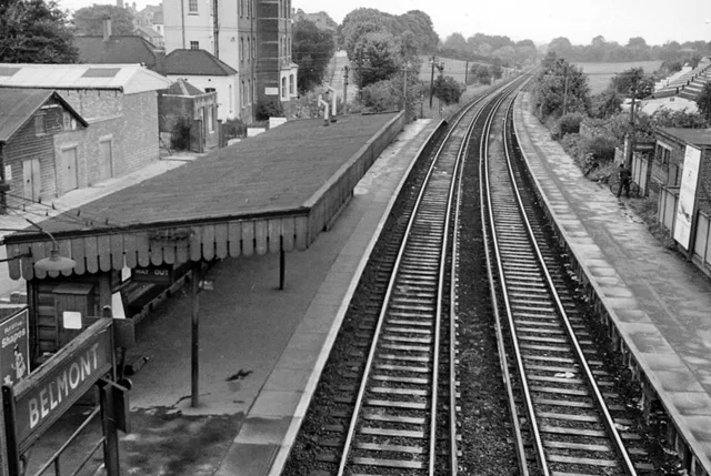
Stations
Post boxes
Doctor's office
Convenience stores
Bus stops
Hairdressers
Platforms
Dry cleaner's
Restaurants
Pharmacy
Pet shops
Roads nearby
Knockholt Close100 m
Chiddingstone Close100 m
Brasted Close100 m
Westerham Close100 m
Hulverston Close150 m
Cudham Close150 m
Hadley Close200 m
Balmoral Way200 m
Autumn Drive200 m
Cross Road200 m
Chelmsford Close250 m
Sevenoaks Close250 m
Belmont RoadMelbourne Road, Maggi's, Manor Fish Bar, Beddington & Wallington Fire Station
300 m
King's Road300 m
Hatfield Close300 m
Moore Way300 m
Courtenay Avenue300 m
Hardegray Close350 m
Station ApproachSutton Health Clinic, Belmont, Cheam, Carshalton
350 m
Bradley CloseJackie's Hair Studio, The Little Ironing & Dry Cleaning Shop, Belmont
350 m
Avenue RoadHail & Ride Avenue Road, Hail & Ride Avenue Road / Station Road
400 m
Station RoadBelmont, Belmont / Station Road, Serenity Beauty Salon, Design Æffects, The California Fish and Chips, Eclipse Hair, Pet Stop, Belmont Garage, Belmont Food & Wines, Kirkby Pharmacy, Taka, Curryzma
400 m
Lymbourne Close450 m
California Close450 m
Northdown Road500 m
Dorset Road500 m
Queen's Road500 m
Belmont Rise500 m
Amenities nearby
Hopscotch Day Nursery350 m
Shops nearby
UK Windows Ltd.400 m
Apartment buildings nearby
Sterling House350 m
Deacon House350 m
Kiln House450 m
Bakeries nearby
F.M. & L.J Stenning400 m
Buildings nearby
Glenlyon House400 m
Butcher's nearby
Roy Gravett400 m
Cafés nearby
The Usual Place400 m
Convenience stores nearby
McColl's400 m
Dental practices nearby
Belmont Dental Practice400 m
Dry cleaner's nearby
Snow Star Dry Cleaners400 m
Fast food restaurants nearby
May May House400 m
Florist's nearby
London & Belcher400 m
Hairdresser's nearby
Belmont Barbers400 m
Zest Hair400 m
Nature reserves nearby
The Pastures200 m
Places of worship nearby
St John the Baptist400 m
Railway lines nearby
Epsom Downs Branch350 m
Restaurants nearby
Haweli of Belmont400 m
Sports centres nearby
Sutton Bowls Club200 m
 Public transport map London Borough of Sutton Legend
| Railway | |
| Bus | |
| Tram |
 Cycling map London Borough of Sutton Legend
| Cycle path | |
| Cycle lane on road | |
| Cycling on bus lane | |
| Bicycle street | |
| Cyclists allowed | |
| Cyclists allowed, good surface | |
| No cycling | |
| Cobblestones |
| Long-distance cycle route | (depending on scale) | |
| Long-distance cycle route |
 Walking map London Borough of Sutton Legend
| Path |
| Long-distance hiking trail | (depending on scale) | |
| Long-distance hiking trail | ||
| No pedestrians |