
Downsfield Road in London Borough of Waltham Forest
Downsfield Road in London Borough of Waltham Forest is a residential street. The road has sidewalks. It runs in an east-west direction starting from Low Hall Lane and crosses Myrtle Road, Albany Road, Springfield Road, Markhouse Passage and Markhouse Road and ends at Queens Road. Downsfield Road also exists in West Midlands.
- Road Type
- residential street
- Speed Limit
- 20 mph
- Postal Code
- E17
- Route
- east-west
Image
Convenience stores
Fast food restaurants
Massage parlours
Places of worship
Restaurants
Beauty salons
Furniture shops
Hairdressers
Bus stops
Cafés
Artwork
Specialist shops
Roads nearby
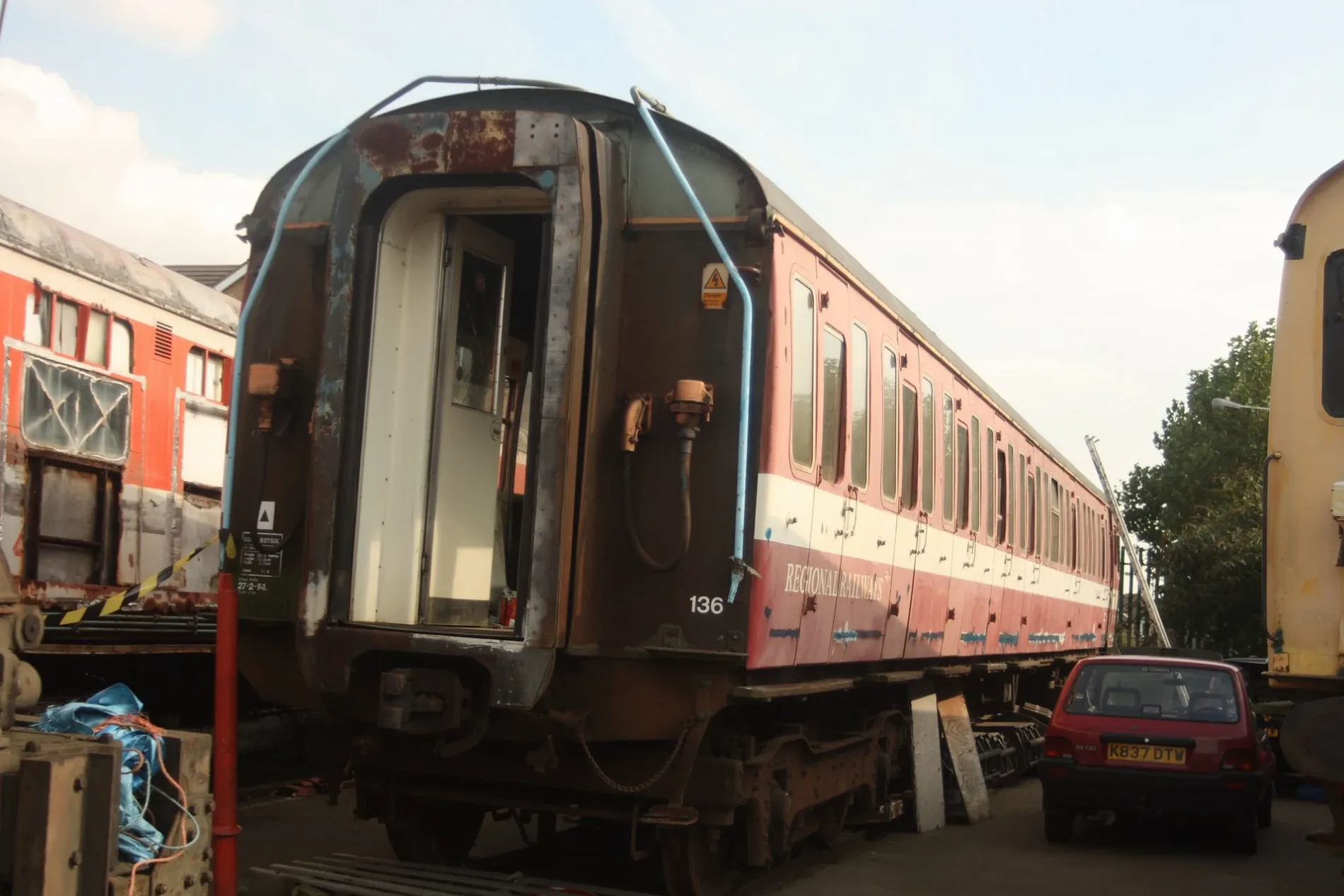
Springfield RoadChingford Carriage Sidings
100 m
Markhouse Passage100 m
Albany Road100 m
Myrtle Road100 m
Betts Mews150 m
Low Hall Lane150 m
Acacia RoadShaks Coffeehouse, Shakti News & Wine, AG Garage
200 m
Ringwood RoadElephani Sunt Personnae, elephanti sunt personae
200 m
Callis Road200 m
Luther King Close200 m
Ashford Close200 m
Campus Road250 m
Verulam Avenue300 m
Markhouse Avenue300 m
Tudor Court300 m
Camden Road300 m
Alexandra RoadYork Road
300 m
Queens RoadRodi Supermarket, Waltham Forest Adult Learning Centre, Sanghera Fashion Fabrics
300 m
Markhouse RoadMarkhouse Avenue, Queens Road, South Grove Free Presbyterian Church, AA Boilers, China Express, Final Touch Unisex Salon, Jimmy's Cafe, S&R, Yuki Sushi, Markhouse Food & Wine, Enjoy Sandwich & Cafe Bar, TechPro Repair Centre, Victorious, Merlie's Fried Chicken, Pure Spa Massage, Victorious Hair & Beauty Salon, St Saviour's Church, Betfred, Lea Bridge Road
350 m
Tennyson Road350 m
Ansar Gardens350 m
Herbert Road350 m
Brighton Avenue400 m
Gosport Road400 m
Arkley Crescent400 m
Union Road400 m
Samantha Close400 m
Yew PathWalthamstow Public Mortuary
400 m
Stafford Close400 m
Broomfield450 m
Sylvester Road450 m
West Chapel Path450 m
Lime Path450 m
Bude Close500 m
Hove Avenue500 m
Allotment gardens nearby
Honeybone allotments200 m
Apartment buildings nearby
Gosport House400 m
Buildings nearby
Queens Road Community Centre250 m
The Markhouse Centre250 m
St Saviour's Hall300 m
Convenience stores nearby
Asda Express100 m
Courthouses nearby
Walthamstow Coroners Court450 m
Guest house nearby
The Commongate Hotel100 m
Hairdresser's nearby
Tanem50 m
Kindergartens nearby
Low Hall Nursery School200 m
Petrol stations nearby
Petrol Station100 m
Places of worship nearby
The Lighthouse100 m
St. Saviour's Church350 m
Sports centres nearby
Walthamstow Leisure Centre200 m
Public transport map London Borough of Waltham Forest Legend
| Railway | |
| Bus | |
| Tram |
Cycling map London Borough of Waltham Forest Legend
| Cycle path | |
| Cycle lane on road | |
| Cycling on bus lane | |
| Bicycle street | |
| Cyclists allowed | |
| Cyclists allowed, good surface | |
| No cycling | |
| Cobblestones |
| Long-distance cycle route | (depending on scale) | |
| Long-distance cycle route |
Walking map London Borough of Waltham Forest Legend
| Path |
| Long-distance hiking trail | (depending on scale) | |
| Long-distance hiking trail | ||
| No pedestrians |