
Gresley Close in London Borough of Waltham Forest
Gresley Close in London Borough of Waltham Forest is a residential street. It crosses Cockerell Road and ends in a cul-de-sac. Gresley Close also exists in London Borough of Haringey.
- Road Type
- residential street
- Speed Limit
- 20 mph
- Postal Code
- E17
Image
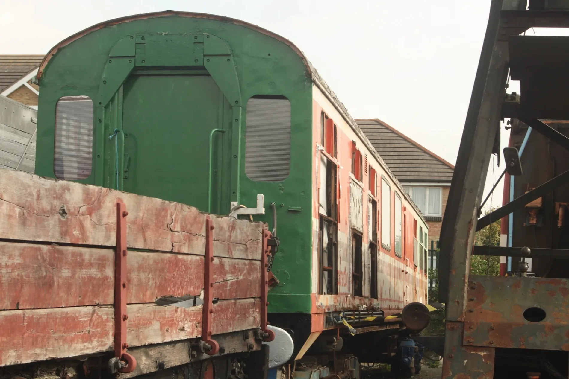
Convenience stores
Beauty salons
Furniture shops
Places of worship
Bus stops
Fast food restaurants
Artwork
Hairdressers
Restaurants
Cafés
Massage parlours
Specialist shops
Roads nearby
Newton Close100 m
Brunel Road150 m
Telford Close150 m
Cockerell Road150 m
William Marshall CloseSupperclub
150 m
Whittle Close150 m
South Access RoadLow Hall Manor Business Centre, Barn Croft Primary School
150 m
Myrtle Road200 m
Luther King Close200 m
Forster Road200 m
Albany Road250 m
Essex Road300 m
Low Hall Lane350 m
Argall AvenueCherubim & Seraphim Church Oke Ayo Ona Iwa Mimo, Oke-Igbala Cherubim And Seraphim Holy Temple Of Christ Church, Celestial Church of Christ, Deliverance Outreach Ministries, Christ United Pentecostal Ministries, Staffa Road, Argall Avenue, Argall Avenue Industrial Estate
350 m
Lynmouth RoadHarrison's
400 m
Hartington Road400 m
North Access RoadThe Clearing
400 m
Clacton Road450 m
Salop Road450 m
Stephenson RoadSt James Medical Practice
500 m
Forest Trading EstateArcade Machines Hire
500 m
York Road500 m
Grange Road550 m
Frederic StreetFraznos
550 m
Cassiobury Road550 m
Morland Road600 m
Leucha Road600 m
Allotment gardens nearby
Low Hall Lane allotments150 m
Cheshire Fields350 m
Honeybone allotments350 m
Bakeries nearby
Weirdough Bakery450 m
Buildings nearby
The Club House400 m
Floorcraft450 m
The Outset Centre500 m
Scout Hall550 m
Convenience stores nearby
Chiro450 m
Ruya Food & Wine550 m
Doctor's practice nearby
The Firs Medical Centre550 m
Museum nearby
Walthamstow Pumphouse Museum150 m
Office buildings nearby
UK Accountant Ltd450 m
Parks nearby
St James Park150 m
Pavilions nearby
The Mohsin Beg Pavilion450 m
Railway lines nearby
Clapton Junction and Chingford Branch450 m
Restaurants nearby
Blackstar Bar & Grill500 m
St James Treats550 m
Koli's550 m
Sports pitches nearby
Low Hall Sports Pitch450 m
Streams nearby
Dagenham Brook200 m
Warehouses nearby
Ocado350 m
 Public transport map London Borough of Waltham Forest Legend
| Railway | |
| Bus | |
| Tram |
 Cycling map London Borough of Waltham Forest Legend
| Cycle path | |
| Cycle lane on road | |
| Cycling on bus lane | |
| Bicycle street | |
| Cyclists allowed | |
| Cyclists allowed, good surface | |
| No cycling | |
| Cobblestones |
| Long-distance cycle route | (depending on scale) | |
| Long-distance cycle route |
 Walking map London Borough of Waltham Forest Legend
| Path |
| Long-distance hiking trail | (depending on scale) | |
| Long-distance hiking trail | ||
| No pedestrians |