
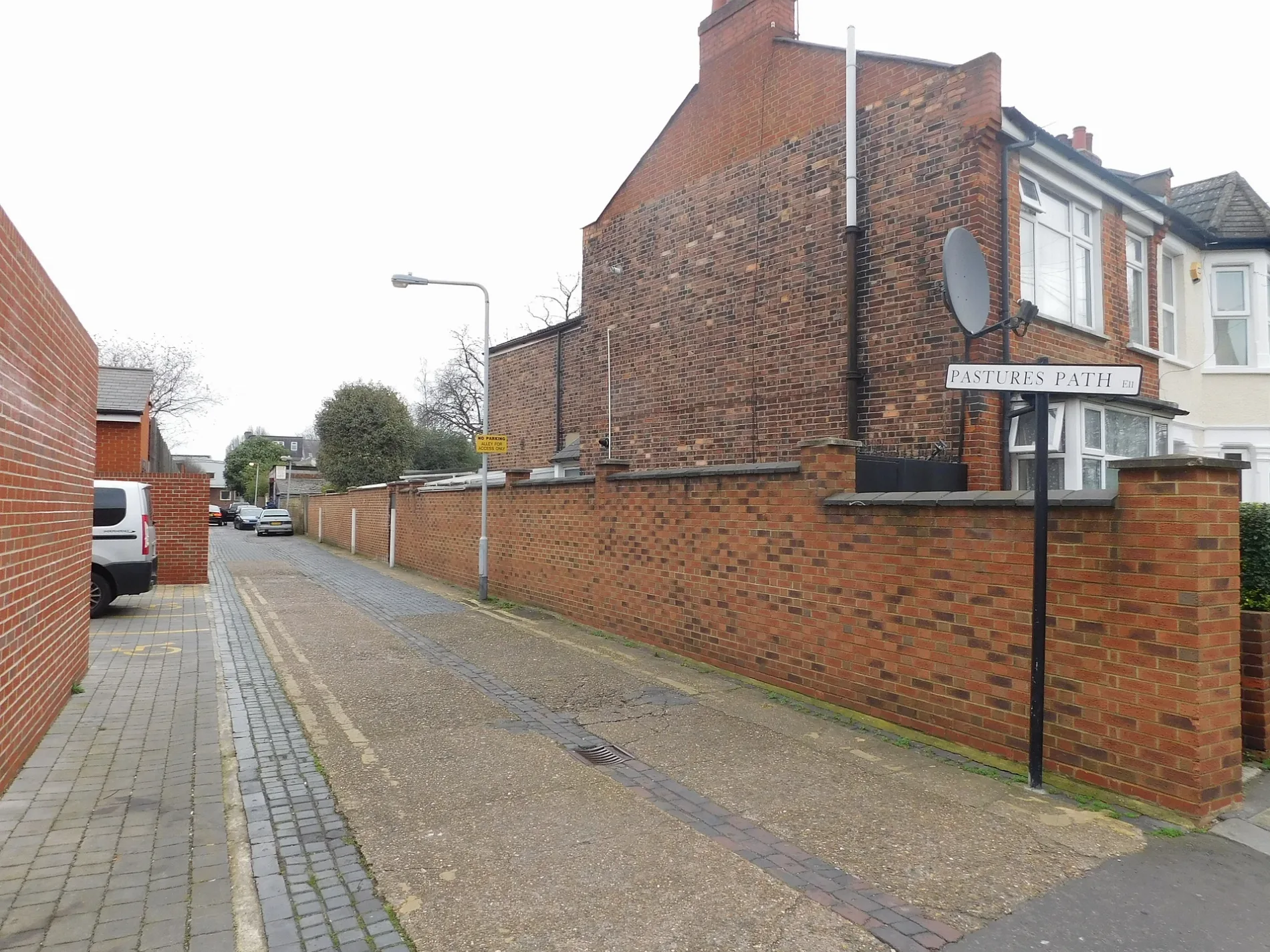
Pastures Path in London Borough of Waltham Forest
Pastures Path in London Borough of Waltham Forest is a cobblestone, lit minor road. The road has no sidewalks. There is no cycle path. It runs in a north-south direction starting from Lister Road and ends at Davies Lane. Pastures Path is also known as Pastures Path, Leytonstone.
- Road Type
- minor road
- Postal Code
- E11
- Route
- north-south
Image
Fast food restaurants
Beauty salons
Platforms
Artwork
Bus stops
Hairdressers
Car repair shops
Community centre
Cafés
Kindergarten
Restaurants
Bar
Stations
Roads nearby
Mornington Road250 m
Harvey Gardens300 m
Bushwood300 m
Stanmore Road300 m
Leybourne RoadBARA Library
350 m
Mohmmad Khan Road350 m
Dacre Road350 m
Barfield Road350 m
Carlton Road350 m
Manderley Mews350 m
Leyspring Road350 m
Woodville Road450 m
Colts Yard450 m
Aylmer RoadThe Crown
450 m
Grove RoadLeaf Memory, Esso, Ohba Leaf, A One Cars
500 m
Hartley Road500 m
Beacontree Road550 m
Greystone Path550 m
Shops nearby
Hot and Cold350 m
Allotment gardens nearby
Harvey Road Community Garden350 m
Browning Road Allotments550 m
Apartment buildings nearby
St John's Court300 m
Buildings nearby
St Mary's Court300 m
Launderette550 m
Birchills600 m
Cafés nearby
Garden of Desserts600 m
Clothing shops nearby
Fashion Bargain550 m
Commercial buildings nearby
Christofi Wells & Co500 m
Solicitors550 m
Kennard Wells550 m
Community centres nearby
Leytonstone Muslim Community Centre400 m
Computer shops nearby
Linq Computer House550 m
Convenience stores nearby
Quick Pick Supermarket600 m
Delicatessens nearby
La Mariana500 m
Fast food restaurants nearby
Tex Bites500 m
Fitness centres nearby
PureGym250 m
The 1 on 1 Fitness Studio600 m
Hairdresser's nearby
Hair Culture500 m
Altered Images550 m
Shear Design550 m
Interior decorators nearby
Jo & Kesi600 m
Places of worship nearby
Leytonstone Mosque350 m
Palace of Liberty500 m
Pubs nearby
The Birds450 m
The North Star600 m
Restaurants nearby
Mum Likes Thai Food400 m
Retail buildings nearby
The Estate Agency Co550 m
Shoe shops nearby
Shoeworld400 m
Sports centres nearby
Salisbury Club450 m
Toy shops nearby
Kiddie Kingdom550 m
| Located in | London Borough of Waltham Forest |
|---|---|
| Postal code | E11 |
| Country | United Kingdom |
 Public transport map London Borough of Waltham Forest Legend
| Railway | |
| Bus | |
| Tram |
 Cycling map London Borough of Waltham Forest Legend
| Cycle path | |
| Cycle lane on road | |
| Cycling on bus lane | |
| Bicycle street | |
| Cyclists allowed | |
| Cyclists allowed, good surface | |
| No cycling | |
| Cobblestones |
| Long-distance cycle route | (depending on scale) | |
| Long-distance cycle route |
 Walking map London Borough of Waltham Forest Legend
| Path |
| Long-distance hiking trail | (depending on scale) | |
| Long-distance hiking trail | ||
| No pedestrians |