
Grant Road in London Borough of Wandsworth
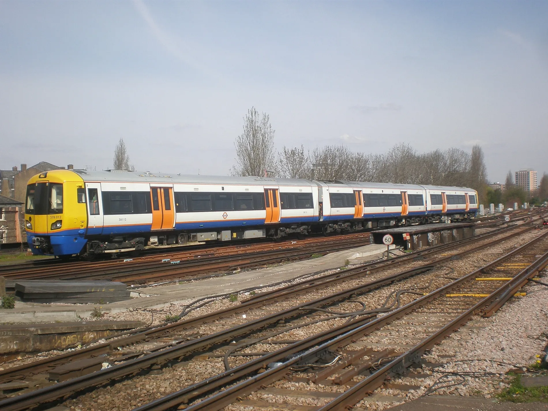
Grant Road in London Borough of Wandsworth is an asphalted, lit tertiary road. It runs in a northeast-southwest direction starting from Plough Road and crosses Thomas Baines Road, Weekley Square, Winstanley Road and Bramlands Close and ends at Falcon Road. This road is part of the bicycle routes LCN 37 and LCN 37. In the vicinity, you can find among other things 3 cafés, a restaurant, a charity shop and a DIY store. The nearest stop is Clapham Junction. The bus line 170 and the train routes Mildmay and Windrush serve this stop. Grant Road also exists in London Borough of Croydon and London Borough of Harrow.
- Road Type
- tertiary road
- Speed Limit
- 20 mph
- Postal Code
- SW11 2
- Route
- northeast-southwest
Image
Charity shops
Hairdressers
Cafés
Platforms
- bus lines 170
- train routes Mildmay, Windrush
Bicycle hires
Roads nearby
Fownes Street100 m
Batten StreetLudgate GW Junction
250 m
Wayford StreetFalcon Estate
300 m
Este RoadFish in a Tie, Niki Convenience Store
350 m
Shillington Old School350 m
Takhar Mews400 m
Amies StreetFox and Hounds
450 m
Cabul RoadGreen Dental Care, Battersea Smiles
450 m
Cranleigh Mews500 m
Rowena Crescent500 m
Zulu Mews500 m
Poyntz Road600 m
Abercrombie StreetLatchmere No. 1 (Main) Junction
600 m
Crombie Mews600 m
Knowsley Road600 m
Frere Street600 m
Ambrose Mews650 m
Atherton Street650 m
Sheepcote LaneLatchmere No. 3 (Waterloo) Junction, Sheepcote Lane, Pouparts Junction, Clapham West London Junction
650 m
Apartment buildings nearby
Temple House150 m
Ridley House150 m
Eden House200 m
Beauty salons nearby
Blossom Body Sculpture650 m
Buildings nearby
Stevenson House600 m
Churches nearby
Church of Christ600 m
Commercial buildings nearby
Giles Pike650 m
Community centres nearby
George Shearing Centre300 m
Fire stations nearby
Battersea Fire Station150 m
Furniture shops nearby
Wall to Wall650 m
The Carpet Gallery650 m
Marmorea650 m
Chesney's700 m
Hairdresser's nearby
Backstage LA650 m
Ramey Barber700 m
Laundries nearby
Fantasy Cleaners650 m
Parks nearby
Falcon Glade50 m
Shillington Park350 m
Falcon Park550 m
Pharmacies nearby
Boots300 m
Railway lines nearby
Pig Hill Siding200 m
South London line250 m
Brighton Main Line300 m
Latchmere Curve300 m
Factory, Longhedge and Lavender Hill Junctions to Clapham Ludgate Junction400 m
Residential areas nearby
Falcon Estate150 m
Residential buildings nearby
The Village (17)450 m
Restaurants nearby
Hot Take650 m
Battersea Tandoori700 m
Supermarkets nearby
Asda400 m
Veterinary practices nearby
Battersea Veterinary Clinic650 m
Public transport map London Borough of Wandsworth Legend
| Railway | |
| Bus | |
| Tram |
Cycling map London Borough of Wandsworth Legend
| Cycle path | |
| Cycle lane on road | |
| Cycling on bus lane | |
| Bicycle street | |
| Cyclists allowed | |
| Cyclists allowed, good surface | |
| No cycling | |
| Cobblestones |
| Long-distance cycle route | (depending on scale) | |
| Long-distance cycle route |
Walking map London Borough of Wandsworth Legend
| Path |
| Long-distance hiking trail | (depending on scale) | |
| Long-distance hiking trail | ||
| No pedestrians |