
Portslade Road in London Borough of Wandsworth
Portslade Road in London Borough of Wandsworth is an asphalted service road and it runs in a southeast-northwest direction. In the vicinity, you can find among other things 5 car repair shops. The nearest bus stop in the vicinity is Wandsworth Road Station (approx. 200 m away). Portslade Road also exists in London Borough of Lambeth.
- Road Type
- service road
- Route
- southeast-northwest
Image
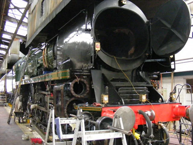
Car repair shops
Roads nearby
Crichton Street150 m
Motley Street250 m
St. Rule Street250 m
Coleridge Close300 m
Robertson StreetTown, Le Pot Lyonnais, Forbidden Temple
350 m
Wandsworth RoadQuick Stop Supermarket, Texaco, St Rule Street, Wandsworth Rd, Isley Court, Asda Express, Cedars Road, Thyme, Lansdowne Green, Twice as Nice, South Bank Cycles, Taniya Dry Cleaners, Ponto de Encontro, Berlengas, El Hak, Ocean Blue, Meron Beauty Salon, Winta Halal Meat Shop, Bakaal Worldwide Money Transfer, South Lambeth Delivery Office, Begonias, Union Grove, Covent Garden Market East Side, Tesco Express, VAUXHALL, Riverside medical centre, Nine Elms Station, Argos, Starbucks, Sainsbury's, Silverthorne Road, Clapham Guest House, A toca, South Lambeth M.S.P.O, Dallas, Pak Hong, Halls Pharmacy, Peri Peri Chicken Bites, Raj News, Nile Restaurant, Chinese Pantry, M Hallaway Butchers, Wings, LK Express Dry Cleaners, Delicias de Portugal, Larkhall Park, Friends Grocers, M. Hallalway, Ladbrokes, Mane Event, Andalucia Cafe & Patisserie, Top Hair & Beauty, The Coffee Lovers, Costcutter, Lobito Grill, Penny Savers, South Lambeth Post Office, Dial A Craft LTD, Shapes Barbers, Sefta's Place Barbershop, DIY Centre, Casa Benefica, Max Cafe, Amish Boutique, Beauty & Shine, Paper Cuts, Orit Ethiopian Restaurant & Bar, Solneve Cafe, Savoy Cafe, Uncle Tom's Cabin, Wandsworth Road Station, Westbury Street, Chelsea Guest House, Quick Stop Household, Soul, Beans and Bubbles, Kam's Chicken, 575 Wandsworth Road, Belgravia Garage, Union Road, Os Golfinhos, Newspoint, Quick Stop Food & Wine Supermarket, Majestic Hair Design, Sparkle Nails & Beauty, The Chase, The Roastery, Andover News, Eclectica, Slik Barbers, Spice Fusion, Le Salon, Waxing Specialist, Puppet Planet, Sinclair Till, Cult Furniture, Beauty Queen, Voo, Blake's, Elms Leaf, Springfield Methodist Church, The Plough Inn, Pizza GoGo, Vesco News, Food & Wine, Mist On Rocks, Sainsbury's Local, S&V News, Alexander Fashion
350 m
Dickens Street400 m
Froude Street400 m
Linford StreetLinford Street Junction, Mondo Tap
400 m
Rozel RoadNorth Street Deli
400 m
Corunna TerraceStewarts Lane Junction
450 m
Heath RoadKingdom Hall of Jehovah's Witnesses, Heath Road
450 m
Bewick Street450 m
Thackeray Road500 m
Peardon Street500 m
Ingate PlaceCorner Cafe
500 m
Broughton StreetQueenstown Express
500 m
Silverthorne RoadSilverthorne Road
550 m
Queenstown RoadSilverthorne Road, Caffè Dolce, Queenstown Road Station, SIXT, Queenstown Road, RR London, Prairie Street, Bowloom Limited, Queenstown Barbers, Violed, Shipton & Heneage, Sendero Specialty Coffee, Market Place Store, Battersea Park / Chelsea Gate, Battersea Park Station, Queenstown Road @ Battersea Park Road, Longhedge "A" Junction, Loaf, Sopwith Way, Majestic, Store Park Central, Quenstown Road Gate
550 m
Stewarts RoadPatmore Estate / Drury House, Linford Street, Carey Gardens, Clyston Street, SLV, Stewart's Road
550 m
Lockington RoadQueenstown Road, Bridge the Gap Cafe, Creamor
600 m
Southolm StreetQueenstown Road
600 m
Havelock TerraceLeicht Battersea, Avis Budget
600 m
Patcham Terrace650 m
Amenities nearby
Battersea Bus Garage300 m
Railways nearby
Stewarts Lane Depot250 m
Apartment buildings nearby
Amesbury Tower100 m
Allington Court200 m
Welford Court200 m
Brooklands Court300 m
Blake Court300 m
Heath terrace450 m
Foundry House600 m
Buildings nearby
Fovant Court150 m
Elays Network200 m
Battersea Studios400 m
Brogan House650 m
Parks nearby
Heathbrook Park250 m
Places of worship nearby
Ridley Hall Evangelical Church550 m
Railway lines nearby
Factory, Longhedge and Lavender Hill Junctions to Clapham Ludgate Junction200 m
Stewarts Lane Sidings300 m
Tarmac Sidings400 m
South London Line550 m
Battersea Pier Junction to Pouparts Junction via Longhedge Junction550 m
Waterloo to Reading Line550 m
Nine Elms International Flyover550 m
Razed railways nearby
Atlantic Line/South London Line650 m
Residential areas nearby
Battersea Exchange600 m
School buildings nearby
Heathbrook Primary School300 m
Warehouses nearby
Safestore450 m
Public transport map London Borough of Wandsworth Legend
| Railway | |
| Bus | |
| Tram |
Cycling map London Borough of Wandsworth Legend
| Cycle path | |
| Cycle lane on road | |
| Cycling on bus lane | |
| Bicycle street | |
| Cyclists allowed | |
| Cyclists allowed, good surface | |
| No cycling | |
| Cobblestones |
| Long-distance cycle route | (depending on scale) | |
| Long-distance cycle route |
Walking map London Borough of Wandsworth Legend
| Path |
| Long-distance hiking trail | (depending on scale) | |
| Long-distance hiking trail | ||
| No pedestrians |