
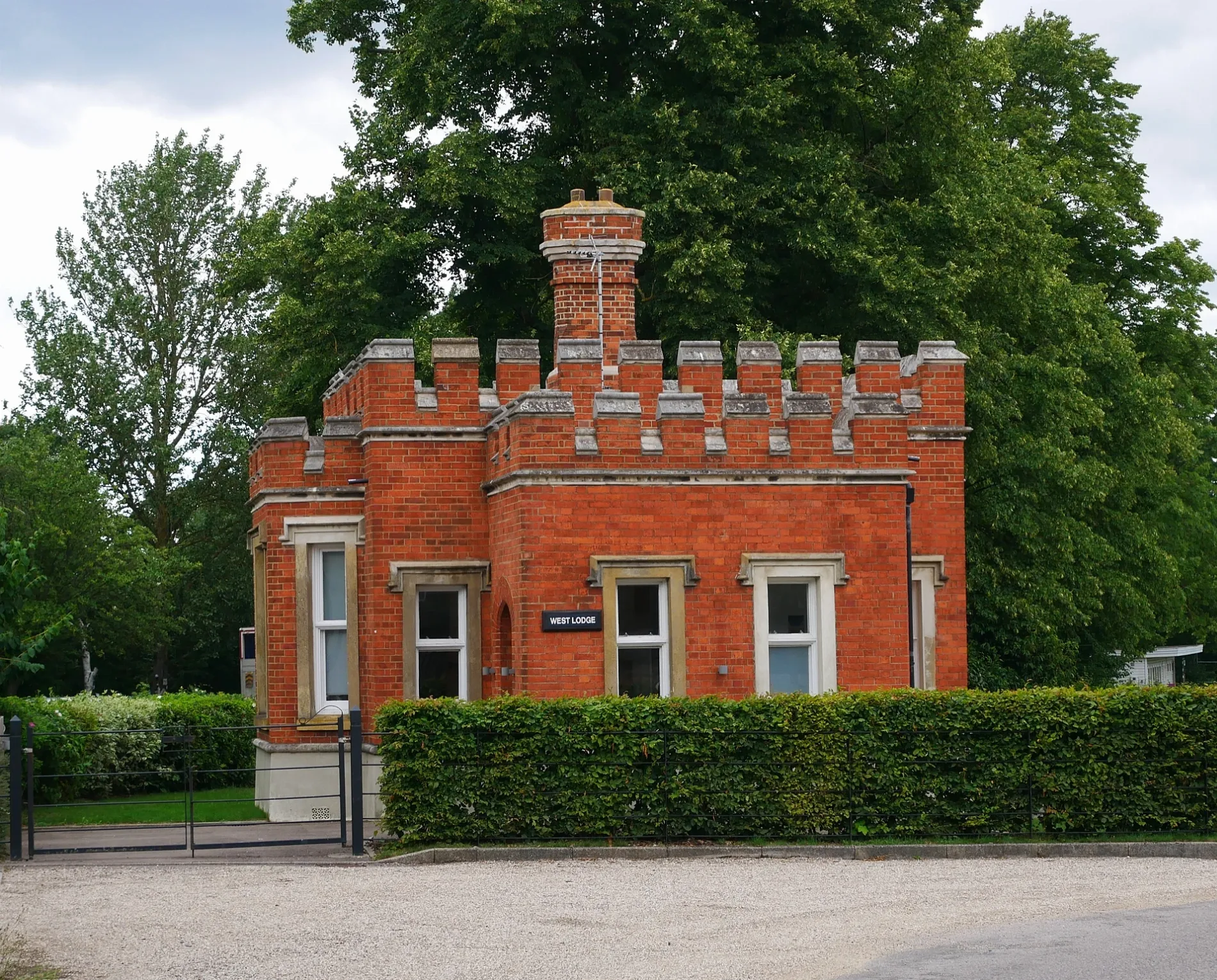
West Lodge in Royal Borough of Greenwich
West Lodge in Royal Borough of Greenwich is a detached house, Parade Ground Path. West Lodge also exists in London Borough of Merton, London Borough of Wandsworth, London Borough of Ealing and London Borough of Southwark.
- Street
- Parade Ground Path
- Building Type
- detached house
Image
Cafés
Bus stops
Roads nearby
Parade Ground Path150 m
Napoleon Lane150 m
Langhorne Street150 m
Village Square200 m
Academy RoadWoolwich Common, Royal Garrison Church, Academy Road / Shooters Hill Road
250 m
Woolwich CommonOld Royal Military Academy, Nightingale Place, Ha Ha Road
250 m
East Flank250 m
Ashmore Road250 m
West Court250 m
Worthy Down Court250 m
Red Lion Lane300 m
Blackdown Terrace300 m
Wilton Park Court300 m
Wellesley Road300 m
Matchless Drive300 m
Prince Imperial Road350 m
Garrison Close350 m
Brompton Terrace350 m
Herbert RoadAll Saints Church, Whitworth Road, St Joseph's, Herbert Road / Plumstead Common Road, Herbert Road Post Office, Queen’s Diner, The Lord Herbert, Ozzie's Barber Shop, St Joseph's Church
350 m
Keemor Close350 m
Larkhill Terrace350 m
Delvan Close400 m
Llanover Road400 m
Bagshot Court400 m
Ordnance Road450 m
Fenwick Close450 m
Circular Way450 m
Ritter Street500 m
Old Clem Square500 m
Jefferson Walk550 m
Kempt Street550 m
O'Neill Path600 m
Ha Ha RoadHa Ha Road / Repository Road, Ha Ha Road / Grand Depot Road
600 m
Apartment buildings nearby
West Officers' Quarters50 m
West Cadets' Quarters200 m
East Officers' Quarters250 m
East Cadets' Quarters300 m
Buildings nearby
The Great Hall200 m
The Church200 m
The Officers' Mess200 m
Sergeant Majors' Quarters250 m
Detached houses nearby
East Lodge250 m
Residential areas nearby
The Academy200 m
Residential buildings nearby
The Parade100 m
West Arcade150 m
West Lecture House150 m
East Lecture House200 m
Walters House300 m
Bondfield House300 m
| Heritage designation | Grade II listed building |
|---|---|
| Located in | Royal Borough of Greenwich |
| Country | United Kingdom |
 Public transport map Royal Borough of Greenwich Legend
| Railway | |
| Bus | |
| Tram |
 Cycling map Royal Borough of Greenwich Legend
| Cycle path | |
| Cycle lane on road | |
| Cycling on bus lane | |
| Bicycle street | |
| Cyclists allowed | |
| Cyclists allowed, good surface | |
| No cycling | |
| Cobblestones |
| Long-distance cycle route | (depending on scale) | |
| Long-distance cycle route |
 Walking map Royal Borough of Greenwich Legend
| Path |
| Long-distance hiking trail | (depending on scale) | |
| Long-distance hiking trail | ||
| No pedestrians |