
China Lane in City of Manchester
China Lane in Manchester is an asphalted, lit residential street. It runs in a northeast-southwest direction starting from Piccadilly and crosses Back Piccadilly, Dale Street and Hilton Street and ends at Brewer Street. In the vicinity, you can find among other things 2 bar, a fast food restaurant, a beauty salon and a pawnbroker. The nearest stop is Manchester City Centre, Piccadilly (Stop EO). The bus lines 201, 202, 203 and 205 serve this stop.
- Road Type
- pedestrian zone
- Route
- northeast-southwest
Image
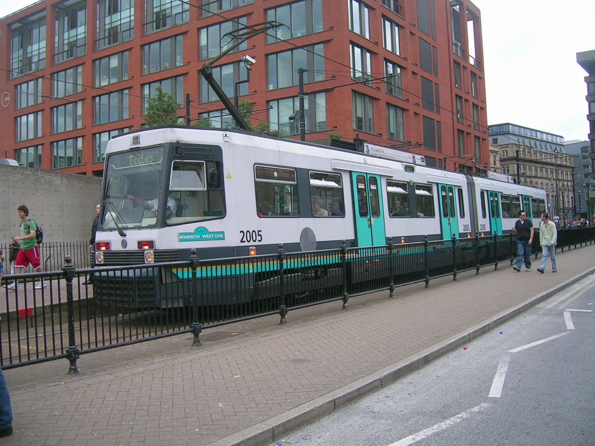
Pubs
Bar
Beauty salons
Roads nearby
Hope Street100 m
Circus Street100 m
Roby Street150 m
Portland StreetParker Street/Piccadilly Gardens, The Old Monkey, Grey Horse, Janam, Shanghai Clinic Acupuncture & Chinese Herbs, Circus Tavern, Beauty By Sue, M1 News, Colin Jellicoe Gallery, Salon 2001, Portland Plaice, Happy Lemon, Boots, Genting Casino, Ibis Hotel Manchester City Centre, Manchester City Centre, Portland Street (Stop SO), Genting Club, Manchester City Centre, Portland Street / near Dickinson Street, Sangam, Chill#96, Subway, Exchange Food & Drink Lounge, Premier Inn, Frankie's Toasties, Manchester Souvenirs, Manchester City Centre, Portland Street / Piccadilly Gardens (Stop Q), ASK Italian, Shoryu, Vegan Shack, Pret A Manger, City Centre - Portland Street, Slug & Lettuce, The Portland Bar & Grill, Orchid Lounge Bar, Frost Burgers, Ladbrokes, Malhi News, Manchester City Centre, Portland Street / Charlotte Street (Stop CU), Yates, Clayton Hotel Manchester City Centre, Buffet City, House of Fu, Red Restaurant, Sushi Mani, Manchester City Centre, Portland Street / Portland Buildings (Stop SX), Giorgio Ristorante Italiano, Jamboree, Italian Gelato, Creams, Ibis Styles - Manchester Portland Hotel, Kaplan International Language, Bar Rogue, Portland Street, Manchester City Centre, Portland Street / Charlotte Street (Stop CK), Caffè Nero, Rudy's Pizza Napoletana, voco, Napoleon's Casino & Restaurant
150 m
Aytoun StreetHoliday Inn, Manchester City Centre, Aytoun Street / adjacent Minshull Street, Aytoun Street/Minshull Street, Pollen, KAMPUS
150 m
Major StreetCruz 101, Manchester Central Coach Station
150 m
Auburn StreetStore Street Exchange
250 m
Rochdale Canal Tow PathChez Mal, 75 Dale Street
250 m
Minshull StreetYum Cha, Beeswing, Cove Minshull Street
250 m
Hart Street300 m
Parker StreetPiccadilly Gardens (Stand K), Piccadilly Gardens (Stand N), Piccadilly Gardens (Stand L), Piccadilly Gardens (Stand M), Piccadilly Gardens (Stand P), Piccadilly Gardens (Stand J), Piccadilly Gardens, Piccadilly Gardens (Stand H), Piccadilly Gardens (Stand G)
300 m
Gold Street300 m
Faulkner StreetBIMM Institute Manchester, Wazuzhi, Try Thai, Ho's Bakery, Happy Seasons, Pho Cue, 宽窄巷 Noodle Alley, Spicy City Restaurant, Red Hot, Red Moon, Chatime, Jun Salon, Manchester Seafood Retail & Wholesale, City Beauty & Spa, Lewis Bet, Siamease Thai Massage & Spa, CitiTravel, Lily Hair Salon, Wing Fat, The New Hong Kong, Mr Hong Beef Noodle, Yuzu, Napa Beauty & Skin Care, Mei Dim, 138 Bookmakers, Chuan Guoxiang
300 m
Richmond StreetVanilla, The Molly House, Gay Village, Istanbul Express, Habesha, Iconic Bar, Cockatoo Club
350 m
Little David StreetNell's Pizza, Red Light, Great North Pie, Seven Bro7hers
350 m
Pine StreetGiovannis
400 m
Chorlton StreetChorlton Street/Aytoun Campus (Stop EU), Madre, UCEN Manchester (Shena Simon Campus), Sainsbury's Local, The Church, Leven Hotel, Chorlton Street, City Centre - Chorlton Street, Manchester Central Coach Station, Upper Crust
400 m
Sackville StreetThe LGBTQ+ Queen Bee, The Coffee Bean, Sackville Street WhizzGo, Club Tropicana, EVA, McTucky's Fried Chicken, Area, The Thompsons Arms, Sackville Street, City Centre - Sackville Street, Napoleons, Tattoo & Piercing;Village Hair, Manchester City Centre, Sackville Street / opposite University of Manchester, LGBT Foundation, Manchester City Centre, Sackville Street / near University of Manchester
450 m
Brazil StreetRichmond Tea Rooms
500 m
Venice Street500 m
Abingdon StreetSatan's Hollow
550 m
Bombay Street550 m
Canal StreetNew Union Hotel, The Rem Bar, BarPop, Village Brasserie, Velvet, The Brewers, Velvet Hotel, Via, REM Hotel, G-A-Y, On Bar Manchester, Chuan, Le Ville Hotel, Oscars
550 m
Whitworth StreetThe Refuge, Pottery Lane/Ashton Old Road (Stop E), WHITWORTH Street/Oxford Street, Foundation Coffee House, The Conservatory Bar, The Storehouse, Manchester New Square, Fluffy Fluffy, O'Shea's, Manchester City Centre,Whitworth Street / outside Sackville Gardens, The Manchester College (Shena Simon Campus), Samsi, The Whitworth Street Creative Studio, Han Dynasty, Star Chef, Manchester City Centre, Whitworth Street / India House (Stop SY), Q-Park Piccadilly Place, Lilly Nail & Beauty, Aytoun Street, Manchester City Centre, Whitworth Street / Minshull Street South (Stop B), Manchester City Centre, Whitworth Street / opposite Chorlton Street
600 m
Samuel Ogden Street600 m
Apartment buildings nearby
North Block350 m
The Stack350 m
South Block400 m
Linter Building550 m
Calico Building550 m
Carding Building550 m
Bars nearby
Three Little Words300 m
Buildings nearby
Mechanics' Institute550 m
Canals nearby
Rochdale Canal250 m
Car parks nearby
Piccadilly Gardens Car Park100 m
Commercial buildings nearby
One Piccadilly Gardens200 m
Courthouses nearby
Manchester Crown Court200 m
Hotels nearby
The Britannia Hotel250 m
Mercure Manchester Piccadilly250 m
Light rail lines nearby
Metrolink200 m
Office buildings nearby
City Tower300 m
Parks nearby
Sackville Gardens400 m
Residential areas nearby
Kampus400 m
Residential buildings nearby
Regency House500 m
Retail buildings nearby
Piccadilly Gardens Pavillion250 m
School buildings nearby
Shena Simon Campus450 m
Tram stops nearby
Piccadilly GardensBarburrito, PizzaExpress, Doctor Scooter, Bunsik
200 m
Warehouses nearby
Minto & Turner350 m
Minshull Warehouse350 m
Other nearby
Gay Village400 m
 Public transport map Manchester Legend
| Railway | |
| Bus | |
| Tram |
 Cycling map Manchester Legend
| Cycle path | |
| Cycle lane on road | |
| Cycling on bus lane | |
| Bicycle street | |
| Cyclists allowed | |
| Cyclists allowed, good surface | |
| No cycling | |
| Cobblestones |
| Long-distance cycle route | (depending on scale) | |
| Long-distance cycle route |
 Walking map Manchester Legend
| Path |
| Long-distance hiking trail | (depending on scale) | |
| Long-distance hiking trail | ||
| No pedestrians |