
Piccadilly Station Approach in City of Manchester
Piccadilly Station Approach in Manchester is an asphalted, lit minor road. It runs in a southeast-northwest direction starting from Ducie Street. In the vicinity, you can find among other things 4 cafés, 4 fast food restaurants, a charity shop and a convenience store. The nearest stop is Piccadilly Rail Station. The bus lines 1 and 2 serve this stop.
- Road Type
- minor road
- Speed Limit
- 20 mph
- Postal Code
- M1
- Route
- southeast-northwest
Image
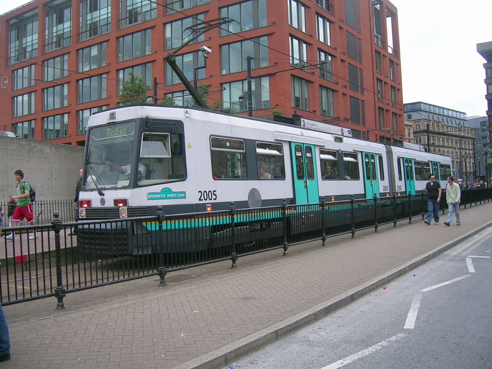
Bus stops
- bus lines 1, 2
Charity shops
Restaurants
Cafés
Convenience stores
Bookmakers
Fast food restaurants
Pubs
Hotels
Roads nearby
Piccadilly StationManchester Piccadilly, Burger King, Piccadilly, WHSmith, Boots, M&S Simply Food, Krispy Kreme, The Pasty Shop, Delice de France, Upper Crust, Accessorize, Crush=crust, Starbucks, The Mill, Hotel Chocolat, YO! Sushi, Travel Centre, Oliver Bonas, Victory over Blindness, Doddle, Pret A Manger, Cards Galore
200 m
Boad Street250 m
Jutland Street250 m
Wharf Close250 m
Vantage Quay Bridge250 m
Sheffield StreetManchester Piccadilly, Sureshot Brewery, Balance Taproom
300 m
Sparkle Street300 m
Leycroft Street300 m
London RoadLondon Road/Auburn Street, Manchester City Centre, London Road / Manchester Piccadilly Rail Station (Stop A), Carluccio's, Costa, NatWest, Manchester City Centre, London Road / near Travis Street, Manchester City Centre, London Road / adjacent Travis Street, Manchester City Centre, London Road / opposite Travis Street, Sainsbury's Local, Caffè Nero, TGI Fridays, Piccadilly Central, Motel One Manchester-Piccadilly
300 m
Chapeltown Street300 m
Cotswold Street350 m
Wyre Street350 m
Peak Street350 m
Baird Street350 m
Comet Street350 m
Paradise Walk350 m
Aqueduct Street350 m
Congou Street400 m
Pigeon Street400 m
Whittles Croft400 m
Travis StreetManchester Piccadilly, Ancoats, Travis Street / opposite Sheffield Street, Ancoats, NE-bound Travis Street
400 m
Baring StreetBathhouse Gate, The Urban Jungle Bee, Boardman Gate
400 m
Brock Street450 m
Laystall StreetGo Outdoors, Residence Inn Manchester Piccadilly
450 m
Lomax Street450 m
Portugal Street East450 m
Neild StreetThe Star & Garter
500 m
Berry Street500 m
Buxton Street500 m
Land Use nearby
HS2 - Manchester Piccadilly (Proposed)300 m
Apartment buildings nearby
Burlington House350 m
Body of waters nearby
Dale Street Basin150 m
Store Street Aqueduct400 m
Buildings nearby
Platform 13 & 14 Waiting Area350 m
Canals nearby
Ashton Canal200 m
Car parks nearby
Piccadilly Station Car Park300 m
CitiPark Tariff Street400 m
Commercial buildings nearby
Gateway House150 m
Constructions nearby
Outram400 m
Food courts nearby
DieCast Mcr400 m
Hotels nearby
Ducie Street Warehouse150 m
Dakota Manchester300 m
Office buildings nearby
Carvers Warehouse200 m
Pubs nearby
The Bull's Head300 m
Railway lines nearby
Hope Valley Line400 m
Crewe and Manchester Piccadilly Line450 m
Holding Siding500 m
Railway stations nearby
Manchester Mayfield500 m
Shopping malls nearby
Manchester Piccadilly200 m
 Public transport map Manchester Legend
| Railway | |
| Bus | |
| Tram |
 Cycling map Manchester Legend
| Cycle path | |
| Cycle lane on road | |
| Cycling on bus lane | |
| Bicycle street | |
| Cyclists allowed | |
| Cyclists allowed, good surface | |
| No cycling | |
| Cobblestones |
| Long-distance cycle route | (depending on scale) | |
| Long-distance cycle route |
 Walking map Manchester Legend
| Path |
| Long-distance hiking trail | (depending on scale) | |
| Long-distance hiking trail | ||
| No pedestrians |