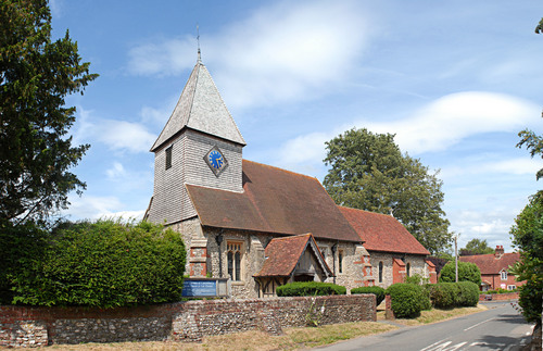
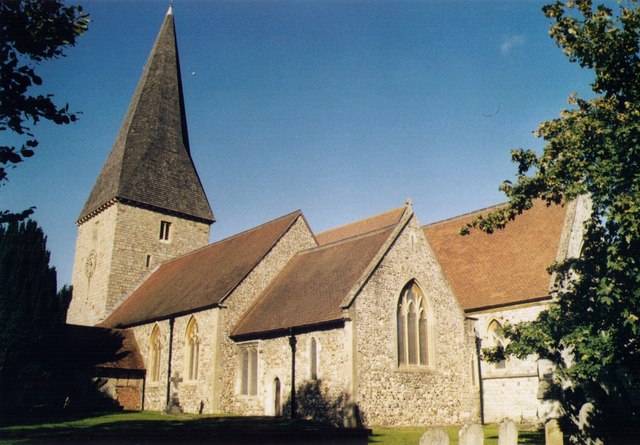
Borough of Guildford

This City map of Guildford covers the roads, paths and places of the borough in Surrey, England. Guildford is a non-metropolitan district with borough status, established in 1974, and covers approximately 270.9 square kilometres. The population was about 147,889 in 2018, while recorded figures show growth from 139,700 in 2012 to 145,673 in 2022. The borough contains 24 subregions, including villages and civil parishes around the River Wey and the Surrey Hills.

City map Guildford
Leoboudv, CC BY-SA 3.0 – Wikimedia Commons
City map Effingham
Pip Rolls, CC BY-SA 2.0 – Wikimedia Commons

Effingham

Effingham is a village and civil parish in the Borough of Guildford, Surrey. The parish has 2,711 residents and covers approximately 11.98 square kilometres. Its location places it in the northern part of Guildford borough, close to the settlements of East Horsley and Ockham.
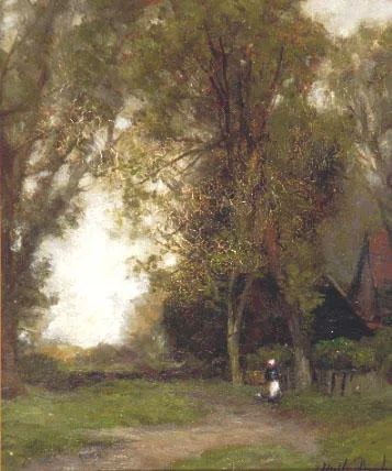
City map Shere
John Noble Barlow, Public domain – Wikimedia Commons

Shere

Shere is a village and civil parish in Surrey with 3,771 residents. The parish covers approximately 9.88 square kilometres in the Tillingbourne valley, south-east of Guildford. Shere lies near the Surrey Hills and is associated with the village centre around the River Tillingbourne.

City map Albury
Ben Gamble, CC BY-SA 2.0 – Wikimedia Commons

Albury

Albury is a village and civil parish in the Borough of Guildford, Surrey. It has 1,175 residents and covers approximately 16.28 square kilometres. The parish lies south-east of Guildford near Shere and the Tillingbourne valley.

City map East Horsley
Colin Smith, CC BY-SA 2.0 – Wikimedia Commons

East Horsley

East Horsley is a village and civil parish in Surrey with 4,270 residents. Its area is approximately 7.4 square kilometres, making it one of the more compact parishes in this part of Guildford borough. East Horsley is situated north of the Surrey Hills and near West Horsley, Effingham and Ockham.

Ockham

Ockham is a village and civil parish in Surrey with 414 residents. The parish covers approximately 12.13 square kilometres and lies north of Guildford, near East Horsley and Wisley. Ockham is also associated with Ockham Common, an area of heathland and woodland in the Surrey countryside.

City map Wisley
Mark Boyce, CC BY-SA 3.0 – Wikimedia Commons

Wisley

Wisley is a village and civil parish in Surrey with 176 residents. It covers approximately 4.03 square kilometres and lies in the northern part of Guildford borough. The parish is known nationally for RHS Garden Wisley, one of the Royal Horticultural Society’s principal gardens in England.

City map West Horsley
Peter Trimming, CC BY-SA 2.0 – Wikimedia Commons

West Horsley

West Horsley is a village and civil parish in Surrey with 2,931 residents. Its area is approximately 10.83 square kilometres, and the parish lies west of East Horsley in the north-eastern part of Guildford borough. West Horsley is associated with West Horsley Place, a historic country house near the village.

City map East Clandon
Algy3289, CC BY 3.0 – Wikimedia Commons

East Clandon

East Clandon is a village in Surrey with 246 residents. The parish area covers approximately 5.86 square kilometres, and the settlement lies near West Clandon and the North Downs. East Clandon is situated north-east of Guildford, close to the boundary with the wider Surrey countryside.

City map Ripley
Colin Smith, CC BY-SA 2.0 – Wikimedia Commons

Ripley

Ripley is a village and civil parish in Surrey with 2,024 residents. The parish covers approximately 9.27 square kilometres north-east of Guildford, near the River Wey. Ripley lies close to Wisley and Send and is connected with the historic route between Guildford and London.

City map Send
Colin Smith, CC BY-SA 2.0 – Wikimedia Commons

Send

Send is a village and civil parish in southern England with 4,243 residents. Its area is approximately 6.95 square kilometres, and it lies north-east of Guildford beside the River Wey. Send is located near Ripley, Woking and the settlements of East Clandon and West Clandon.

City map West Clandon
Murraypaul at English Wikipedia, Public domain – Wikimedia Commons

West Clandon

West Clandon is a village in Surrey with 1,415 residents. The parish covers approximately 9.57 square kilometres and lies north-east of Guildford, close to East Clandon and the North Downs. The village is known for Clandon Park, an historic estate associated with an 18th-century Palladian mansion.

City map Shalford
Hassocks5489, CC0 – Wikimedia Commons

Shalford

Shalford is a village and civil parish in Surrey with 4,180 residents. It covers approximately 6.51 square kilometres south of Guildford, where the River Tillingbourne meets the River Wey. Shalford lies at the northern edge of the Surrey Hills and near the villages of Chilworth and Wonersh.

City map St. Martha
Murgatroyd49, CC BY 4.0 – Wikimedia Commons

St. Martha

St. Martha is a civil parish in Surrey with 715 residents and an area of approximately 3.44 square kilometres. The parish occupies high ground on the North Downs south-east of Guildford. St Martha’s Church stands on St Martha’s Hill and is a prominent historic landmark above the Tillingbourne valley.

City map Worplesdon
Nigel Cox, CC BY-SA 2.0 – Wikimedia Commons

Worplesdon

Worplesdon is a village and civil parish in Surrey with 8,462 residents. It covers approximately 17.94 square kilometres north-west of Guildford, extending towards Woking and the Surrey heathlands. Worplesdon includes woodland and heathland landscapes associated with the western side of Guildford borough.

City map Pirbright
SuzanneKn at en.wikipedia, Public domain – Wikimedia Commons

Pirbright

Pirbright is a village and civil parish in Surrey with 4,562 residents. Its area is approximately 19.01 square kilometres, making it one of the larger subregions in Guildford borough. Pirbright lies north-west of Guildford near the Surrey Heath landscape and the settlements of Worplesdon and Normandy.

City map Ash
Michael FORD, CC BY-SA 2.0 – Wikimedia Commons

Ash

Ash is a village and civil parish in Surrey with 18,104 residents. The parish covers approximately 9.74 square kilometres west of Guildford and has the largest stated population among the listed subregions. Ash lies near the Blackwater Valley and close to Tongham, Normandy and the Hampshire boundary.

City map Tongham
Colin Smith, CC BY-SA 2.0 – Wikimedia Commons

Tongham

Tongham is a village in Surrey with 2,350 residents. It covers approximately 3.3 square kilometres and lies east of Ash, close to the A31 corridor between Guildford and Farnham. The settlement is near the Hampshire border and the North Downs landscape.

Seale and Sands

Seale and Sands is a civil parish in Surrey with 897 residents. It lies in the western part of Guildford borough near Farnham and the North Downs. The parish is adjacent to Puttenham and Tongham and includes settlements and rural land around the A31 corridor.

City map Shackleford
SuzanneKn at en.wikipedia, Public domain – Wikimedia Commons

Shackleford

Shackleford is a village and civil parish in the Borough of Guildford, Surrey, with 707 residents. The parish covers approximately 8.03 square kilometres south-west of Guildford. Shackleford lies near the River Wey, Puttenham and the Surrey Hills countryside.

City map Puttenham
Simon Burchell, CC BY-SA 3.0 – Wikimedia Commons

Puttenham

Puttenham is a village in Surrey with 591 residents. Its area is approximately 7.88 square kilometres, and the village lies on the southern side of Guildford borough near the North Downs. Puttenham is close to Shackleford, Seale and Sands and the A31 route towards Farnham.

City map Compton
Ainslie, CC BY-SA 3.0 – Wikimedia Commons

Compton

Compton is a village and civil parish in the Guildford district of Surrey with 1,051 residents. The parish covers approximately 8.43 square kilometres south-west of Guildford. Compton lies near the North Downs and the villages of Wanborough and Shalford.

City map Normandy
SuzanneKn at English Wikipedia, Public domain – Wikimedia Commons

Normandy

Normandy is a village and civil parish in Surrey with 3,114 residents. It covers approximately 16.37 square kilometres west of Guildford and north of Ash. Normandy lies near Pirbright, Wanborough and the heathland landscapes of western Surrey.

City map Wanborough
SGBailey at English Wikipedia, Public domain – Wikimedia Commons

Wanborough

Wanborough is a village and civil parish in Surrey with 360 residents. The parish covers approximately 7.57 square kilometres west of Guildford, near Normandy and Compton. Wanborough lies close to the North Downs and the rural corridor towards Farnham.

City map Artington
Peter Trimming, CC BY-SA 2.0 – Wikimedia Commons

Artington

Artington is a village in Surrey with 339 residents. Its area is approximately 4.93 square kilometres immediately south of Guildford, beside the River Wey and the Surrey Hills. Artington is close to Shalford, Compton and the historic town centre of Guildford.

Data sources: OpenStreetMap (ODbL), Wikidata (CC0) · Image: Wikimedia Commons

Guildford – Facts

Inhabitants 147889
Area 270.9 km²
Subregions 24
Inception 1974
Located in Surrey
Country United Kingdom
Native label Guildford
Website https://www.guildford.gov.uk/

Data source: Wikidata (CC0)

Roads in Borough of Guildford