
The Retreat in Totton and Eling
The Retreat in Totton and Eling in New Forest is a compacted residential street. No sidewalks. It ends at Jacobs Gutter Lane. The Retreat also exists in Eastleigh.
- Road Type
- residential street
- Speed Limit
- 30 mph
Image
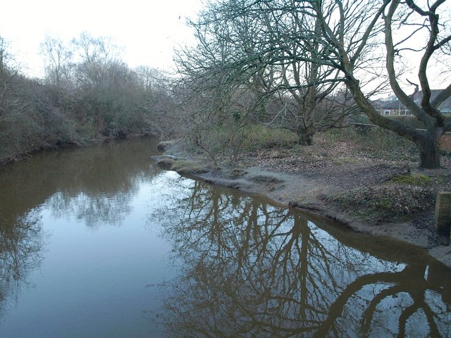
Museum
- Eling Tide Mill Experience Visitor Centre (fee required, web) at Lexby Road 24 (SO40 9HD) – approx. 700 m.
Restaurants
Bus stops
Roads nearby
Jacobs Gutter LaneValley Road, Marchwood By-pass, Jacobs Walk, Jacobs Gutter
100 m
Kirk Gardens150 m
Riverview150 m
Marchwood BypassJacobs Gutter Lane, Downs Field, Clay Meadow Estate, The Marsh, Bulls Copse Road
200 m
Brookside200 m
Valley RoadJacobs Gutter Mead
250 m
Parkside250 m
Hounsdown Avenue300 m
Meadow Close300 m
Powell Crescent400 m
Orchard CloseClay Mead
400 m
Jacob's Gutter LaneSunnyfields, Waterside Scrapstore
450 m
Hounsdown Close450 m
The Drive500 m
Newmans Copse Road500 m
Peartree Gardens500 m
Moonscross AvenueHounsdown
550 m
Bulls Copse Road550 m
Spicers HillSpicers Hill, Spicer's Hill, Hounsdown Avenue
550 m
Jacobs Walk600 m
Shops nearby
Sparks Commercial Services450 m
Buildings nearby
Jacobs Lodge Respite Unit500 m
Car repair shops nearby
Hounsdown Garage500 m
Commercial areas nearby
Claymeadow depot500 m
Rushington Business Park650 m
Community centres nearby
Hounsdown Community Hall500 m
Convenience stores nearby
Premier Mason's600 m
Drains nearby
Jacob's Gutter600 m
Meadows nearby
Daniels Mead150 m
The Five Acres200 m
The Four Acres250 m
Park Mead250 m
The Three Acres300 m
Rossetters Field400 m
Hammonds Hill400 m
Pyramid Field500 m
Playgrounds nearby
Claymeadow Play Area400 m
Railway lines nearby
Fawley Branch Line450 m
School buildings nearby
Drama Facility300 m
Scrublands nearby
River Piece400 m
Sports centres nearby
Houndsdown School Swimming Pool300 m
Warehouses nearby
Garmin (Europe) Ltd.550 m
Wetlands nearby
Fan Land Marsh400 m
Tan Land Mead400 m
Woodlands nearby
Newmans Coppice200 m
The Coppice350 m
The Pond350 m
Newman's Copse450 m
Great Long Coppice500 m
Public transport map Totton and Eling Legend
| Railway | |
| Bus | |
| Tram |
Cycling map Totton and Eling Legend
| Cycle path | |
| Cycle lane on road | |
| Cycling on bus lane | |
| Bicycle street | |
| Cyclists allowed | |
| Cyclists allowed, good surface | |
| No cycling | |
| Cobblestones |
| Long-distance cycle route | (depending on scale) | |
| Long-distance cycle route |
Walking map Totton and Eling Legend
| Path |
| Long-distance hiking trail | (depending on scale) | |
| Long-distance hiking trail | ||
| No pedestrians |