
Gallopers Lane in Metropolitan Borough of Wirral
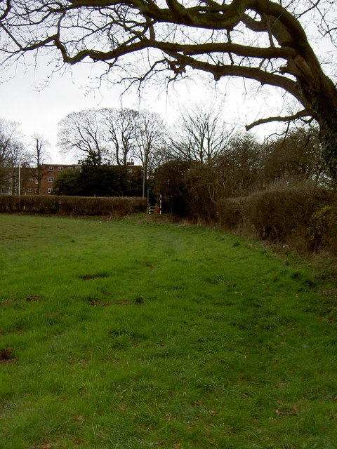
Gallopers Lane in Wirral is a service road and it runs in a northeast-southwest direction and ends at Barnston Road, while the other end is a cul-de-sac.
- Road Type
- service road
- Route
- northeast-southwest
Image
Veterinary clinic
Gift shops
Car repair shops
Laundries
Bus stops
Hairdressers
Garden centres
Fast food restaurants
Post offices
Restaurants
Pharmacy
Roads nearby
Thingwall Grange300 m
Lower Thingwall Lane300 m
The Leas400 m
Hazeldene Way450 m
Beaumaris Drive450 m
Milton Green450 m
Turmar Avenue450 m
Landican Road500 m
Colemere Drive550 m
Torrington Gardens550 m
Howards Road550 m
Beverley Gardens550 m
Nurse Road600 m
Hazeldene Avenue600 m
Sparks Lane600 m
Torrington DriveBARNSTON ROAD/THINGWALL CORNER
650 m
Mill Yard650 m
Mill Road650 m
Landican LaneLandican, Millennium Milepost Storeton, Millennium Milepost Landican Lane
700 m
The Foxes700 m
Manor Park Close700 m
FP34700 m
Barnston RoadBARNSTON ROAD, Barnston Road/Beech Road, BARNSTON ROAD/BEECH ROAD, BARNSTON ROAD/BUFFS LANE, BARNSTON RD/TELEGRAPH RD, Brimstage Road, BARNSTON ROAD/GILLS LANE, BARNSTON ROAD/NR GILLS LANE, BARNSTON ROAD/WOMENS INSTITUTE, BARNSTON ROAD/WHITEHOUSE LANE, BARNSTON ROAD/NR WHITEHOUSE LANE, BARNSTON RD/STORETON LN, BARNSTON ROAD/BEAUMARIS DRIVE, BARNSTON ROAD/ARROWE PARK ROAD, BARNSTON ROAD/SPARKS LANE, BARNSTON RD/BASSET HOUND, BARNSTON ROAD/ACRE LANE, Barnston Road/thingwall Corner, BARNSTON RD/TELEGRAPH RD/GLEGG ARMS, BARNSTON RD POST OFFICE, Barnston Stroeton Lane
750 m
Richmond Way750 m
Thingwall Road EastThingwall Road/Thingwall Drive
750 m
Quarry Lane750 m
Barnsdale AvenueThingwall
750 m
Pensby RoadPENSBY ROAD/SPARKS LANE, PENSBY ROAD/MILL ROAD, Big Als, Thingwall Post Office, Gifts for Me and You, Boots, Kismat, Halo & Ko, Dry Cleaning, Pensby Road/Thingwall Corner, PENSBY ROAD/NR CORNELIUS DRIVE, PENSBY ROAD/IRBY ROAD, PENSBY ROAD/TOWER ROAD SOUTH, NuMark Pharmacy, Morrisons, PENSBY ROAD/GILLS LANE, PENSBY RD/POST OFFICE, Mayflower (Chinese), Taurus Motors, Dads and Lads Barbers, Gerrards, Leah Ann's, Cards and Candy, David Pluck, PENSBY ROAD/KINGSLEY CLOSE, PENSBY ROAD/GREENBANK DRIVE, PENSBY ROAD/DARYL ROAD, Heswall Tandoori, PENSBY ROAD/CORNELIUS DRIVE, PENSBY ROAD/DOWNHAM ROAD NORTH, Ho Ho Cottage (Chinese), Brunch Cafe
800 m
Holmwood Avenue800 m
Regents Close800 m
Holmwood Drive800 m
Axholme Close850 m
Penrhyn AvenueOcean Star, Birch Veterinary Centre
850 m
Axholme Road900 m
Heywood Boulevard900 m
Arrowe Park RoadARROWE PARK ROAD/ARROWE PARK GATES, Arrowe Park Road/landican Cemetery, Arrowe Park Rd/woodchurch Rd, ARROWE PARK ROAD/UPTON BY PASS, ARROWE PARK ROAD/SULLIVAN AVE, ARROWE PARK RD/UPTON VILLAGE, Arrowe Park Laundrette, Shop In One Place, Silver City, Kerala Kitchen, Boots, Iconic, Domino's, thelocal, Shah Jalal, Hurst's Bakery, Sava's, Cash Machine, The Eyeworks, William Hill, Come Rain or Shine, Browns, The Bow-Legged Beagle, British Red Cross, Eye2Eye, Ezee-Quit, ARROWE PARK ROAD/ARROWE BROOK ROAD, ARROWE PARK ROAD/LEESWOOD ROAD, ARROWE PARK ROAD/LEESWOOD RD, Upton Police Station, Arrowebrook Motors, Pine & Oak Warehouse, ARROWE PARK RD/HOSPITAL, ARROWE PARK RD/THE STIRRUP, ARROWE PARK ROAD/POOL LANE, Arrowe Park Hospiytal (Stop D), Arrowe Park Hospital Stop D, Arrowe Park Hospital (Stop C)
900 m
Allotment gardens nearby
The Warrens Allotments750 m
Cemeteries nearby
Landican Cemetery and Crematorium650 m
Clinics nearby
Thingwall Health Centre750 m
Community centres nearby
Scout Hut850 m
Convenience stores nearby
Premier400 m
Sainsbury's Local900 m
Grasslands nearby
Cross Hill700 m
Kindergartens nearby
Thingwall Pre School800 m
Places of worship nearby
Thingwall Methodist Church850 m
Pubs nearby
The Bassett Hound400 m
Sports centres nearby
Thingwall Recreation Centre650 m
Stables nearby
Conwis Stables100 m
Woodlands nearby
Lower Heath Wood300 m
Public transport map Wirral Legend
| Railway | |
| Bus | |
| Tram |
Cycling map Wirral Legend
| Cycle path | |
| Cycle lane on road | |
| Cycling on bus lane | |
| Bicycle street | |
| Cyclists allowed | |
| Cyclists allowed, good surface | |
| No cycling | |
| Cobblestones |
| Long-distance cycle route | (depending on scale) | |
| Long-distance cycle route |
Walking map Wirral Legend
| Path |
| Long-distance hiking trail | (depending on scale) | |
| Long-distance hiking trail | ||
| No pedestrians |