
Lynn Road in King's Lynn and West Norfolk
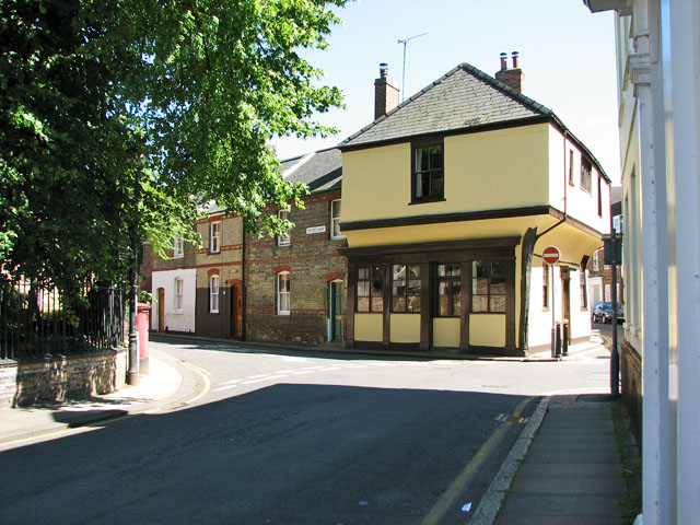
Lynn Road in King's Lynn and West Norfolk is a two-lane main road. It runs in an east-west direction and crosses Gaywood Road, Gayton Road, Wootton Road, Queen Mary Road and Saint Faith's Drive. This road is part of the long-distance roads A17 and A148 and the bicycle route "Parkway Neighbourhood Route". In the vicinity, you can find among other things 4 hairdressers, 3 restaurants, 2 beauty salons and 2 bicycle parkings. The nearest stops are Tesco, adj and Tesco, opp.
- Road Type
- main road
- Lanes
- 2
- Speed Limit
- 30 mph
- Route
- east-west
Hairdressers
Health food shops
Butcher's
Off-licences
Bookmakers
Restaurants
Bus stops
Dentist
Cafés
Supermarkets
Beauty salons
Bicycle parkings
Tattoo studios
E-cigarette shops
Fast food restaurants
Roads nearby
Queen Mary RoadHenry Bell Close, opp, King John Avenue, opp, Gaywood
50 m
Wootton RoadGaywood Pizza House, Volume One, Sunrise Blinds, Betfred, Empire Avenue, opp, Marsh Lane, adj, Mill Lane, opp, Empire Avenue, adj, Deer's Leap, opp, Deer's Leap, adj, Lavender Road, adj, Lavender Road, opp, Rosebery Avenue, opp, Beulah Street, opp, Beulah Street, adj, Rosebery Avenue, adj, Amy's Restaurant and Take-a-Way, Jade Garden, Deb's Florist, Balloon World, Norfolk Phone Repairs, King's Lynn Tandoori
100 m
Helena Anderson CourtGaywood Library, Henderson Art & Framing, Clock Clean
100 m
Orchard Lane150 m
River LaneRiver Lane, Top Chef
150 m
Lavender Road200 m
Gayton RoadHealth Centre, opp, Well Pharmacy, Elvington Road, adj, Elvington Road, opp, Kent Road, adj, Queensway, opp, Queensway, adj, Clock Tower Pharmacy, Gayton Dental Clinic
200 m
Henry Bell Close200 m
Millie Court200 m
Larkspur Close250 m
Swan LaneGene-Alma, Mack-Aida, Juhi-Mary
250 m
Lavender Court250 m
Leonard Close300 m
Melthuen Avenue300 m
Bishops Road300 m
Eastfields Close350 m
Gaywood Hall Drive350 m
Field Road350 m
Salters Road350 m
Gloucester Road450 m
Rosebery Avenue450 m
New Road450 m
Methuen Avenue450 m
Keeble Place450 m
Denmark Road550 m
Beulah Street550 m
Jermyn Road600 m
Orchard Gardens600 m
Southfields650 m
Buildings nearby
Gaywood Conservative Club100 m
Gayton Road Health Centre250 m
Gaywood Park Bowls Club400 m
Car repair shops nearby
Fast-Fit100 m
Changing rooms nearby
Dutton Pavilion700 m
Churches nearby
Gaywood Church Rooms150 m
Community centres nearby
Gaywood Community Centre500 m
Dental practices nearby
Wootton Dental Clinic500 m
Funeral directors nearby
The Co-operative Funeralcare150 m
Hairdresser's nearby
Panache Hair Company550 m
Libraries nearby
Gaywood Library100 m
Parks nearby
Gaywood Park500 m
Places of worship nearby
King's Lynn Evangelical Church100 m
Saint Faith's Church250 m
Pubs nearby
White Horse100 m
Retail areas nearby
Gaywood Clock150 m
School buildings nearby
The Rosebery School450 m
Sports shops nearby
Surf 55550 m
Supermarkets nearby
ALDI100 m
Woodlands nearby
Salter's Sanctuary450 m
Public transport map King's Lynn and West Norfolk Legend
| Railway | |
| Bus | |
| Tram |
Cycling map King's Lynn and West Norfolk Legend
| Cycle path | |
| Cycle lane on road | |
| Cycling on bus lane | |
| Bicycle street | |
| Cyclists allowed | |
| Cyclists allowed, good surface | |
| No cycling | |
| Cobblestones |
| Long-distance cycle route | (depending on scale) | |
| Long-distance cycle route |
Walking map King's Lynn and West Norfolk Legend
| Path |
| Long-distance hiking trail | (depending on scale) | |
| Long-distance hiking trail | ||
| No pedestrians |