
High House Chapel in Stanhope, County Durham
High House Chapel in County Durham, Stanhope is a chapel. High House Chapel is near Hotts Lane.
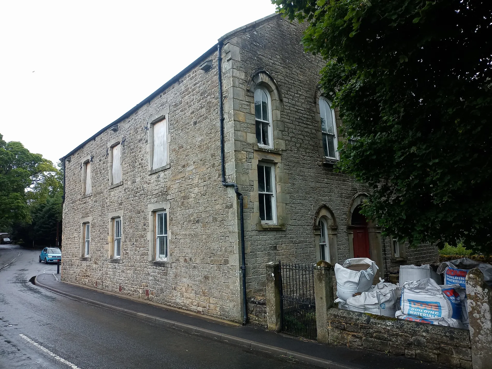
- Building Type
- chapel
- Website
- http://www.westdurhammethodists.org.uk/index.php?option=com_content&view=article&id=107&Itemid=772
Bus stops
Hofläden
Tourist information offices
Pubs
Places of worship
Post offices
Roads nearby
Coronation Bridge50 m
Well BankCoronation Bridge, Miners and Methodists, High Barns
100 m
Hotts LaneHigh Hotts Farm
150 m
Stony PathFront Street, Ireshopeburn
700 m
Carway BankWest Blackdene
850 m
Causeway RoadHigh Wham
900 m
Hood StreetTollgate House, Medical Centre, Blue Bell Inn, Pryse Farm
1,0 km
Longdale Grove1,0 km
Broken Way1,2 km
School Close1,2 km
Harthope RoadSt. John's Chapel, War Memorial, St Johns Chapel stop Post Office, Weardale Vineyard, Harthopeburn
1,3 km
Buildings nearby
High Earnwell400 m
Short Thorns450 m
Pennine Lodge450 m
Whit's Hill550 m
High Prys700 m
Low Hawkwell Head800 m
High Chesters850 m
Allercleugh900 m
Rigg House1000 m
High Whitestones1,0 km
Rowantree Farm1,0 km
High Hill Top1,1 km
Low Rowantree1,2 km
Cafés nearby
Maxine's1,4 km
Chatterbox Cafe1,4 km
Caravan site nearby
Gate House Cottage Caravan Site600 m
Country Style Holiday Home Park1,3 km
Churches nearby
St. John's Chapel Methodist Church1,1 km
Convenience stores nearby
Lakes & Dales Co-operative1,3 km
Farmyards nearby
Hawkwell Head Farm850 m
Whitestones Farm900 m
Cornfield House1,2 km
Forests nearby
Hawkwellhead Plantation500 m
Rowantree Plantation1,2 km
Museum nearby
Weardale Museum50 m
Razed railways nearby
Groove Heads mine tramway550 m
Sports centres nearby
Weardale Adventure Centre150 m
Streams nearby
Earnwell Sike700 m
Levelgate Sike850 m
Rowantree Sike1,1 km
Harthope Burn1,2 km
Elmford Cleugh1,3 km
Rakes Sike1,3 km
West Grain1,4 km
Chapel Race1,5 km
Town halls nearby
Upper Weardale Town Hall1,4 km
Woodlands nearby
Allercleugh Plantation750 m
Featherston's Plantation1,2 km
| Heritage designation | Grade II listed building |
|---|---|
| Located in | Stanhope |
| Country | United Kingdom |
 Public transport map Stanhope Legend
| Railway | |
| Bus | |
| Tram |
 Cycling map Stanhope Legend
| Cycle path | |
| Cycle lane on road | |
| Cycling on bus lane | |
| Bicycle street | |
| Cyclists allowed | |
| Cyclists allowed, good surface | |
| No cycling | |
| Cobblestones |
| Long-distance cycle route | (depending on scale) | |
| Long-distance cycle route |
 Walking map Stanhope Legend
| Path |
| Long-distance hiking trail | (depending on scale) | |
| Long-distance hiking trail | ||
| No pedestrians |