
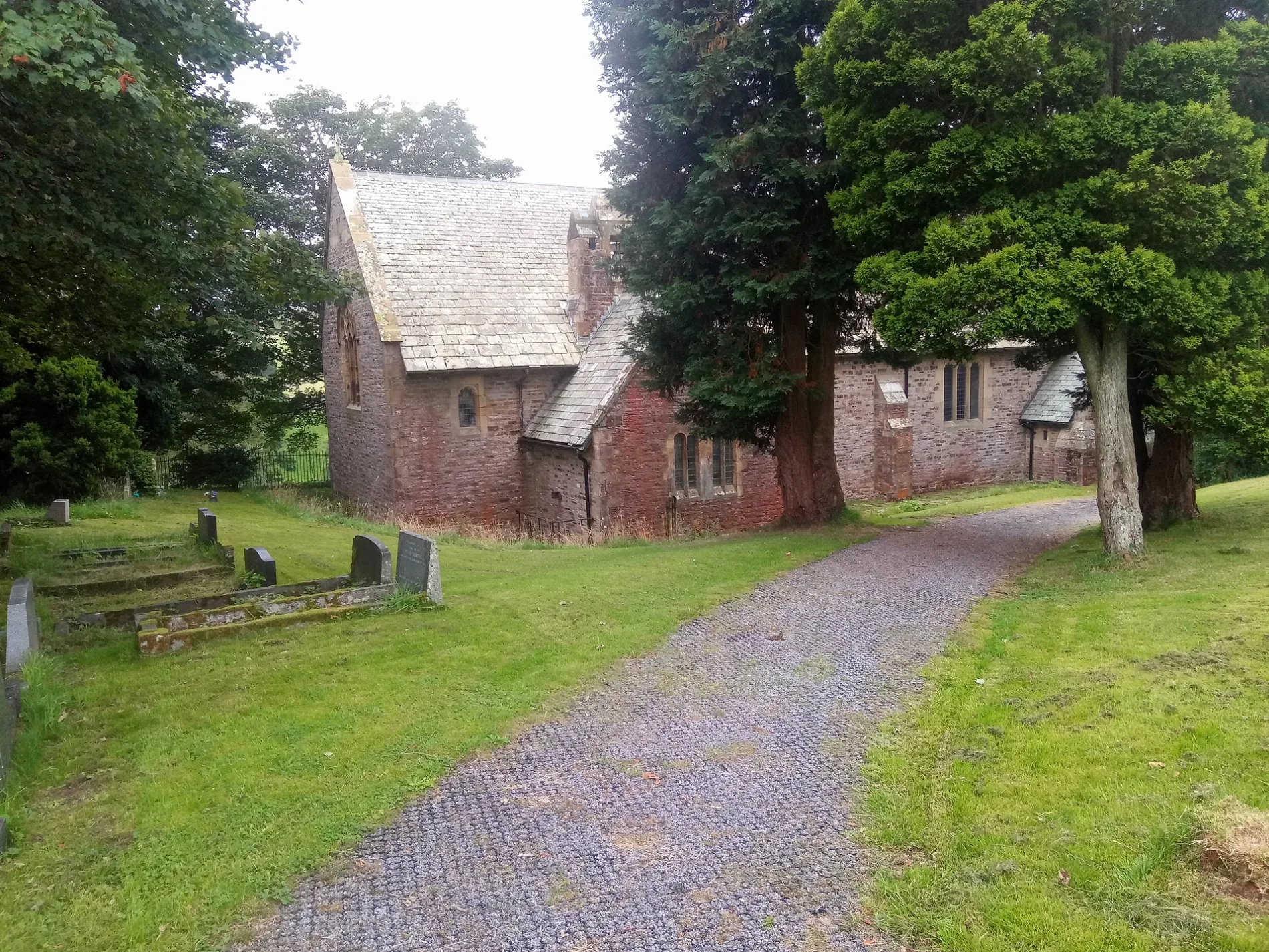
St Thomas' Church in Stanhope, County Durham
St Thomas' Church in County Durham, Stanhope is a Anglicana church. It is near Burtreeford Bridge and is also known as St Thomas' Church, Cowshill. The church belongs to the Diocese of Durham. St Thomas' Church also exists in Stanley.
- Amenity
- place of worship
- Building Type
- building
- Website
- https://www.achurchnearyou.com/church/13615/
Image
Tourist information offices
Hofläden
Roads nearby
Burtreeford Bridge200 m
Cross Lane600 m
Cornriggs800 m
Allers Lane850 m
Bents LaneWearhead
1000 m
School HillLanehead, Field Centre
1,2 km
FP 1290005 Stanhope Parish Wearhead Ward1,3 km
Vedra CloseVedra Close
1,4 km
Irestone Lane1,8 km
Carway BankWest Blackdene
1,8 km
Causeway RoadHigh Wham
2,2 km
Buildings nearby
Mount Haley900 m
Halliwell House1,1 km
Dyke1,5 km
Low Rigg1,5 km
Burnhope House1,7 km
High Whitestones1,9 km
The Rigg2,2 km
Cemeteries nearby
Copt Hill Churchyard450 m
Community centres nearby
Cowshill & Lanehead Village Hall50 m
Farmyards nearby
Bents Farm400 m
Dales Farm500 m
Low Allers750 m
High Allers1000 m
Stripe Foot1,2 km
Newfield1,2 km
Bail Hill1,3 km
Cornfield House1,4 km
Middle Rigg1,5 km
Wham1,7 km
High Rigg Farm1,8 km
Whitestones Farm1,9 km
Ling Riggs2,0 km
Low Ling Riggs2,0 km
Forests nearby
Ullsfield Plantation1,8 km
Guest house nearby
Low Cornriggs1,2 km
Lanehead Old School1,7 km
Pubs nearby
Cowshill Hotel100 m
Residential areas nearby
High Ling Riggs1,9 km
Rivers nearby
Killhope Burn2,3 km
Streams nearby
Bents Sike800 m
Sedling Burn850 m
Black Cleugh1,4 km
Burnhope Burn1,4 km
Elmford Cleugh1,6 km
Heathery Cleugh1,8 km
Woodlands nearby
Featherston's Plantation1,5 km
Lanehead Plantation1,7 km
Allercleugh Plantation2,1 km
| Diocese | Diocese of Durham |
|---|---|
| Located in | Stanhope |
| Country | United Kingdom |
 Public transport map Stanhope Legend
| Railway | |
| Bus | |
| Tram |
 Cycling map Stanhope Legend
| Cycle path | |
| Cycle lane on road | |
| Cycling on bus lane | |
| Bicycle street | |
| Cyclists allowed | |
| Cyclists allowed, good surface | |
| No cycling | |
| Cobblestones |
| Long-distance cycle route | (depending on scale) | |
| Long-distance cycle route |
 Walking map Stanhope Legend
| Path |
| Long-distance hiking trail | (depending on scale) | |
| Long-distance hiking trail | ||
| No pedestrians |