
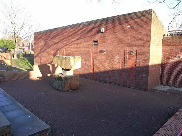
Oxclose Church in City of Sunderland
Oxclose Church in Sunderland is a Anglicana church. It is near Pembridge and belongs to the Diocese of Durham.
- Amenity
- place of worship
- Building Type
- building
Image
Roads nearby
Raby RoadRABY ROAD-W/B, RABY ROAD-E/B, OXCLOSE
100 m
Dilston Close100 m
Brancepeth Road200 m
Crighton250 m
Chipchase250 m
Simonburn350 m
Raglan350 m
Pembridge350 m
Morpeth Close350 m
Kielder350 m
Mitford Close350 m
Witton Court350 m
Berwick350 m
Belsay350 m
Bolam400 m
Greenhead450 m
Stanhope450 m
Featherstone450 m
Lumley Close450 m
Alnwick Court450 m
Ponteland Close450 m
Bamburgh CloseST. JOHN BOSTE RC. PRIMARY SCHOOL
500 m
Ayton RoadAyton Road - Monkside Close, AYTON ROAD-N/B, AYTON ROAD-S/B, Ayton Road
500 m
Compton Court500 m
Hexham550 m
Tilley Road550 m
Long Crag550 m
Blackfell Road600 m
Crowther Road650 m
Stridingedge650 m
Bink Moss650 m
Harvey Close700 m
RushyrigBLACKFELL THIRLMOOR, The Blackfell Frier, Blackfell Post Office, Premier
750 m
Sunderland HighwaySUNDERLAND HIGHWAY-E/B, SUNDERLAND HIGHWAY-W/B, Mountain Warehouse, Home Bargains, Pets at Home, Barmston Interchange, Nissan Interchange, WASHINGTON DISTRICT 15 EXIT, Northumberland Way Interchange
750 m
Cheviot Close800 m
Gragareth Way800 m
Dairnbrook850 m
KnoulberryThe Honest Boy
850 m
Pipershaw850 m
Brockwell Road900 m
Thirlmoor900 m
Hutton Close900 m
Knoulberry RoadKNOULBERRY ROAD-S/B, KNOULBERRY ROAD-N/B, BLACKFELL KNOULBERRY
900 m
Shunner Close900 m
Industrial areas nearby
Crowther Industrial Estate550 m
Places of worship nearby
St John Boste400 m
Pubs nearby
Ox &Plough100 m
Retail buildings nearby
Oxclose Shops50 m
School buildings nearby
Oxclose Community Academy100 m
| Diocese | Diocese of Durham |
|---|---|
| Located in | Sunderland |
| Country | United Kingdom |
 Public transport map Sunderland Legend
| Railway | |
| Bus | |
| Tram |
 Cycling map Sunderland Legend
| Cycle path | |
| Cycle lane on road | |
| Cycling on bus lane | |
| Bicycle street | |
| Cyclists allowed | |
| Cyclists allowed, good surface | |
| No cycling | |
| Cobblestones |
| Long-distance cycle route | (depending on scale) | |
| Long-distance cycle route |
 Walking map Sunderland Legend
| Path |
| Long-distance hiking trail | (depending on scale) | |
| Long-distance hiking trail | ||
| No pedestrians |