
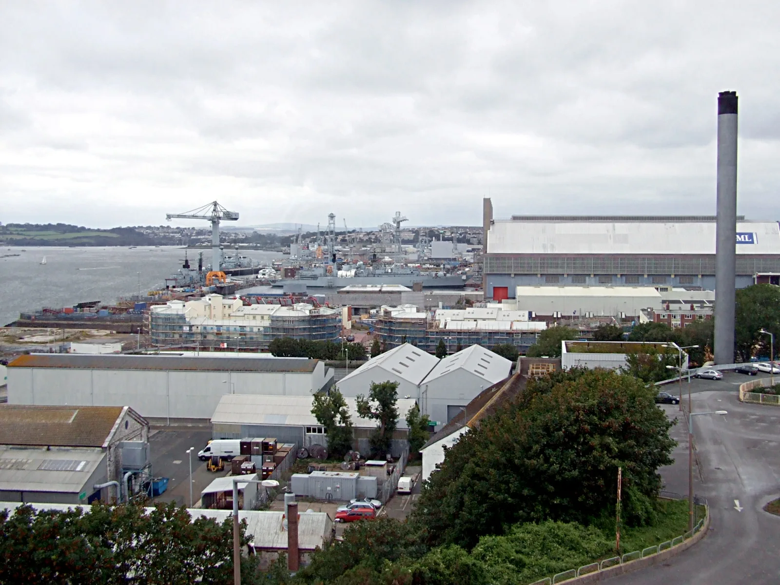
HM Naval Base Devonport in Plymouth
HM Naval Base Devonport in Plymouth is a military base (Royal Navy). HM Naval Base Devonport is also known as Her Majesty's Naval Base Devonport. HM Naval Base Devonport is near St Levan Road. Ⓦ.
- Land Use
- military area
- Operator
- Royal Navy
Image
Bus stops
Roads nearby
Warren StreetMorice Town Stores
100 m
Keyham RoadSaltash Road, Keat Street, Keyham Road Flats
100 m
Keat Street150 m
St Levan RoadDockyard Car Park, Keyham Primary School, St Levan Inn, College road primary school, Ford Hill Bottom, Melville Road, Ryder Road, Craigmore Avenue, Bartholomew Road, Fisher Road
150 m
Sennen Place200 m
Daniel Lane250 m
Herbert Street300 m
Cross Hill300 m
St Leo Place300 m
Boscawen Place300 m
Charlotte Street300 m
Warleigh Avenue350 m
Herbert PlaceMorice Town
400 m
Warleigh Lane400 m
Pasley Street400 m
College Road450 m
Tamar Avenue500 m
Townshend Avenue500 m
Beatrice Avenue550 m
Saltash RoadSaltash Road, HMS Drake, Day Lewis Pharmacy, The Royal Navy Arms, Fleet Street, Ocean Street, Wombwell Crescent, North Cross Park & Ride, Railway Station, British Transport Police, St Levan Gate, Goschen Centre, Johnstone Terrace
550 m
Station RoadBarton Avenue, Cotehele Avenue, Plympton
550 m
Royal Navy AvenueOcean Street, Recreation Ground, St Thomas Church, Premier, Royal Navy Avenue, Moor View, North Down Gardens
600 m
Parkside650 m
Johnston Terrace Ope700 m
Barton Avenue700 m
Buildings nearby
Dock Pumping Station300 m
Wardroom750 m
Mess Building850 m
Howard Building850 m
Constructions nearby
Submarine Support Facilty800 m
Convenience stores nearby
Costcutter600 m
Detached houses nearby
Drake House800 m
Docks nearby
No.4 Basin250 m
Dock 8400 m
No.3 Basin400 m
Boat Basin400 m
Dock 10450 m
Dock 9500 m
Dock 12600 m
Dock 11700 m
Industrial areas nearby
Scrap Pound400 m
Industrial buildings nearby
The Quadrangle250 m
Places of worship nearby
St Thomas the Apostle700 m
Pubs nearby
Avondale Arms150 m
Keyham Barton Consevative Club550 m
Railway lines nearby
Devonport Dockyard Branch300 m
Cornish Main Line350 m
Recreation grounds nearby
Tennis Courts600 m
Service buildings nearby
Reactor Access House450 m
| Named after | Francis Drake |
|---|---|
| Located in | Devonport |
| Country | United Kingdom, United Kingdom of Great Britain and Ireland |
 Public transport map Plymouth Legend
 | Railway | |
| Bus | |
| Tram |
 Cycling map Plymouth Legend
 | Cycle path | |
| Cycle lane on road | |
| Cycling on bus lane | |
| Bicycle street | |
| Cyclists allowed | |
| Cyclists allowed, good surface | |
| No cycling | |
| Cobblestones |
| Long-distance cycle route | (depending on scale) | |
| Long-distance cycle route |
 Walking map Plymouth Legend
 | Path |
| Long-distance hiking trail | (depending on scale) | |
| Long-distance hiking trail | ||
| No pedestrians |