
Plymouth Hoe
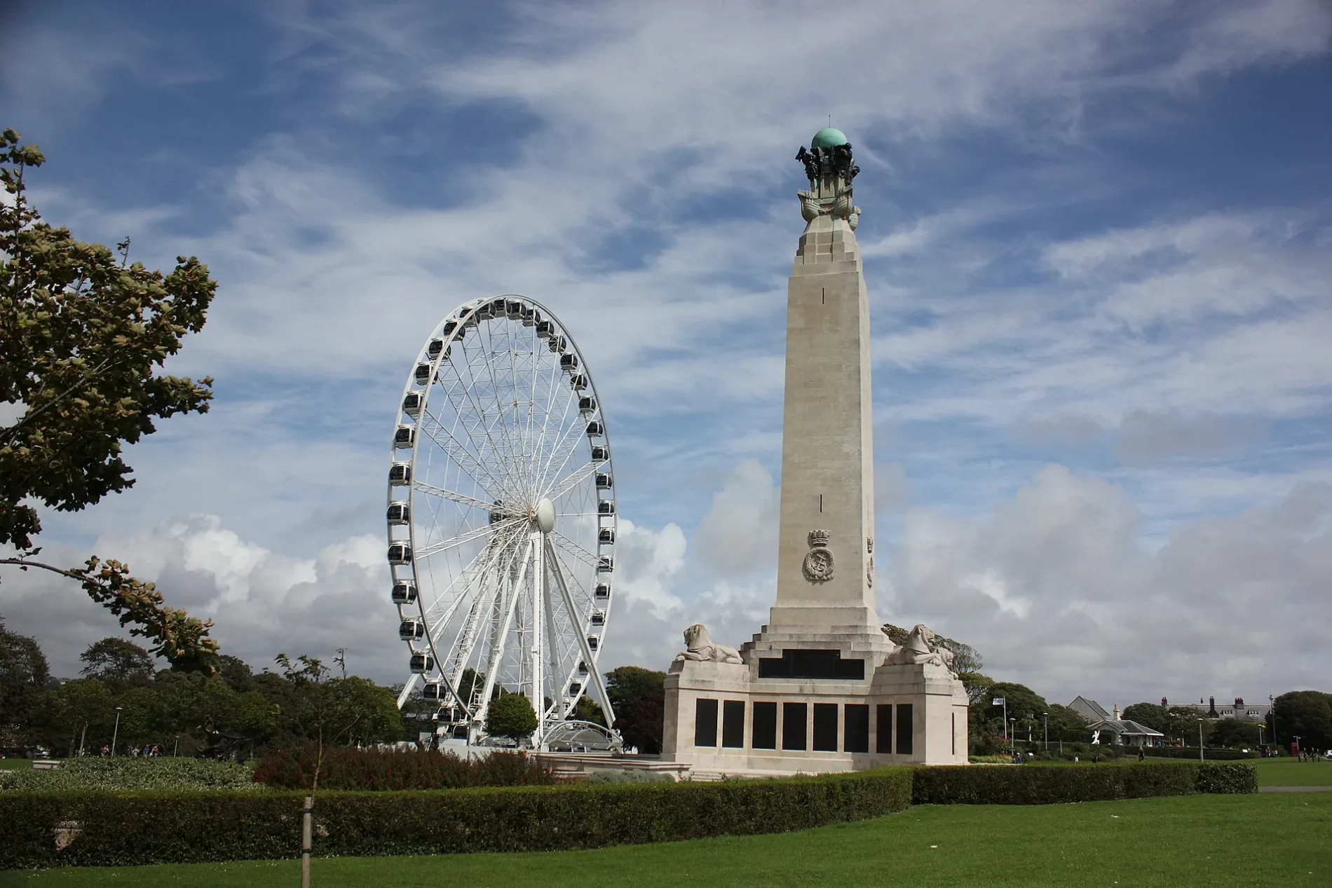
Plymouth Hoe in Plymouth is a park. Plymouth Hoe is also known as Hoe Park. Plymouth Hoe is near Citadel Road East. Ⓦ.
- Leisure
- park
Image
Cafés
Fountains
Pubs
Ice cream parlours
Post offices
Attraction
Bus stops
Viewpoint
Parcel lockers
Places of worship
Convenience stores
Artwork
Restaurants
Guest house
Bar
Tourist information offices
Hotels
Roads nearby
Hoe RoadCitadel Gull Labatory, Plymouth Dome, Millennium Milepost Smeaton's Tower, The Belvedere
100 m
Hoe Approach150 m
Garrison Green150 m
Citadel Road East150 m
Hoegate StreetAmazon Hub Locker
200 m
Hoe Gardens200 m
Hoegate Place200 m
Blackfriars Lane250 m
Friars Lane250 m
Buckwell StreetBuckwell Street
300 m
Shops nearby
Clay Art250 m
Peardrops250 m
Apartment buildings nearby
Black Friars Distillery200 m
Elspeth Sitters House250 m
Art galleries nearby
Armada Framing Services300 m
Bakeries nearby
Barbican Bakehouse300 m
Buildings nearby
School150 m
Guardhouse150 m
Governors House150 m
Cookhouse200 m
Mount Edgcumbe Masonic Hall200 m
Junior Ranks' Club200 m
Trinity250 m
Royal Corinthian Yacht Club250 m
Atwell Martin250 m
HEX360 Limited300 m
Cafés nearby
Fig & Thyme250 m
Cemeteries nearby
Old Jewish Burial Ground250 m
Charity shops nearby
St Luke's Hospice250 m
Fast food restaurants nearby
Lee Garden300 m
Favourite Food300 m
Barbican's Grill Shack300 m
Gallery nearby
Kayaya Gallery250 m
Ice cream parlours nearby
Blue Glacier250 m
Valenti's Gelato Venue300 m
Kindergartens nearby
Margaret McMillan Nursery School150 m
Laundries nearby
Hoegate Laundromat300 m
Marketplaces nearby
The House That Jack Built250 m
Outdoor seatings nearby
Gog and Magog Beer Garden250 m
Pubs nearby
The Gog and Magog200 m
The Queen's Arms250 m
1620300 m
Restaurants nearby
Yun's Chinese300 m
The Eastern Eye300 m
Arribas300 m
Barbican Steakhouse300 m
The Thai House300 m
Retail buildings nearby
ASA House250 m
Tailors nearby
Parade Tailoring300 m
| Area | 19.1 ha |
|---|---|
| Heritage designation | Grade II listed park and garden |
| Located in | City of Plymouth |
| Country | United Kingdom |
 Public transport map Plymouth Legend
| Railway | |
| Bus | |
| Tram |
 Cycling map Plymouth Legend
| Cycle path | |
| Cycle lane on road | |
| Cycling on bus lane | |
| Bicycle street | |
| Cyclists allowed | |
| Cyclists allowed, good surface | |
| No cycling | |
| Cobblestones |
| Long-distance cycle route | (depending on scale) | |
| Long-distance cycle route |
 Walking map Plymouth Legend
| Path |
| Long-distance hiking trail | (depending on scale) | |
| Long-distance hiking trail | ||
| No pedestrians |