
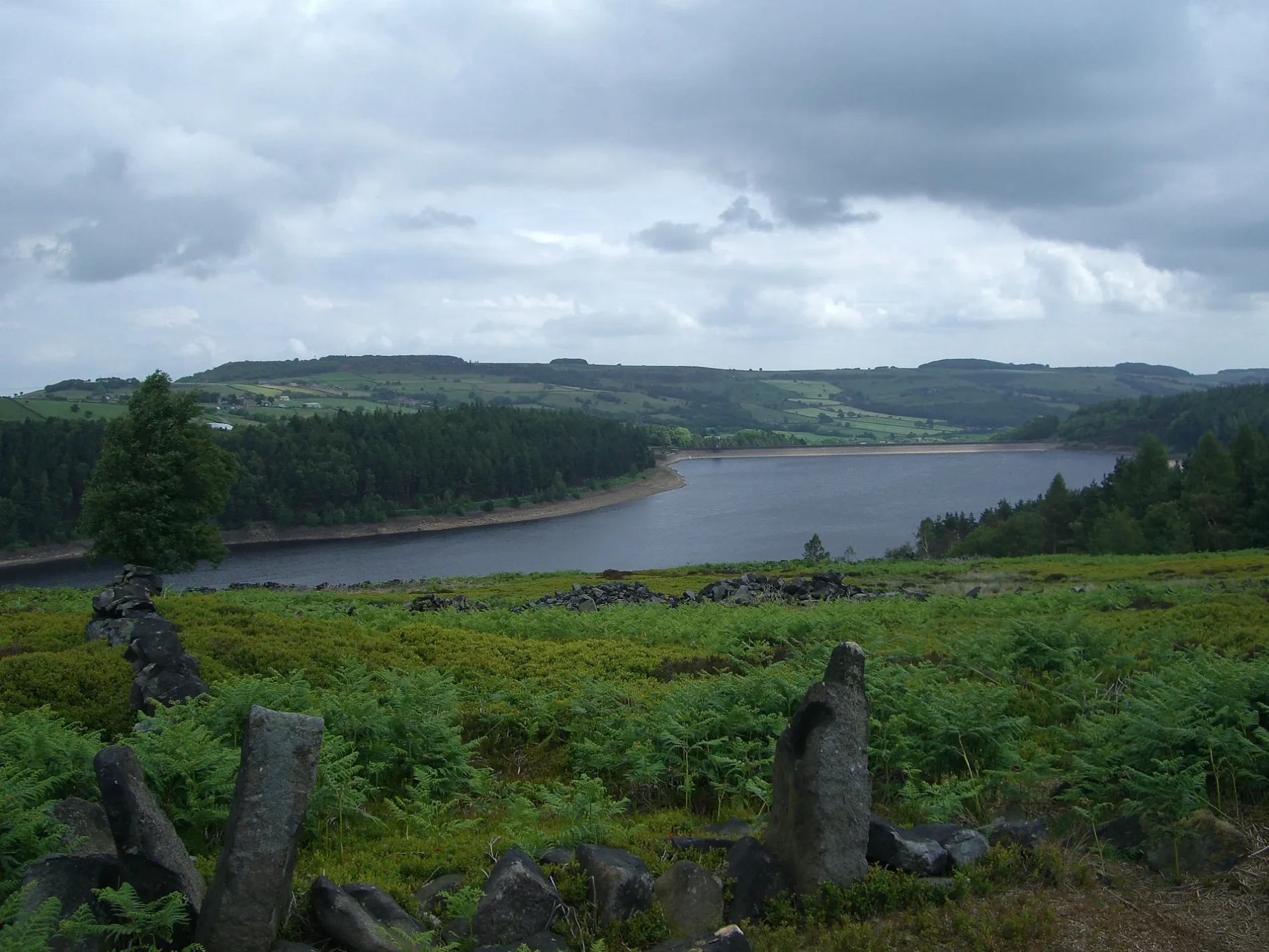
Langsett Reservoir in Bradfield, South Yorkshire
Langsett Reservoir in Bradfield in Sheffield is a body of water. Ⓦ.
- Nature
- body of water
Image
Cafés
Tourist information offices
Post offices
Bus stops
Roads nearby
Thickwoods Lane350 m
Joseph Lane600 m
Low Moor Lane600 m
Back Lane700 m
Midhope Cliff Lane850 m
Penistone Lane850 m
Gilbert Hill1,0 km
Shaw Lane1,1 km
Midhope LaneUpper Midhope
1,3 km
Fullshaw Lane1,3 km
Dark Lane1,3 km
Manchester RoadManchester Road/The Flouch Inn, Langsett, Manchester Road/Midhope Cliff Lane, Manchester Road/Sheephouse Wood, Manchester Road/Mortimer Road, Manchester Road, Manchester Road/Fullshaw Cross, Manchester Road/Daisy House
1,5 km
Brook House Bridge1,5 km
Midhope Hall Lane1,5 km
Whams Road1,6 km
Gilroyd Lane1,7 km
Brook House Lane1,7 km
Nether House Lane1,9 km
Body of waters nearby
Covered reservoir1,1 km
Midhope Reservoir1,6 km
Buildings nearby
Langsett Barn - National Park Centre850 m
WW2 Tank training target winch.1,2 km
Cafés nearby
Bank View Cafe950 m
Campsite nearby
Paw Hill Caravan Park1,8 km
Farmyards nearby
Manor Farm550 m
Hoodlands Farm1,2 km
Birkland Farm1,3 km
Brockholes Farm1,7 km
Paw Hill Farm1,9 km
Cote Farm1,9 km
Houses nearby
Langside950 m
Coppertree Lodge1000 m
Industrial areas nearby
Langsett Water Works1,2 km
Pubs nearby
Waggon & Horses900 m
Residential areas nearby
Alderman's Head Cote1,9 km
Rivers nearby
Little Don River1,9 km
Ruins nearby
North America Farm ruin750 m
Streams nearby
Shaw Sike800 m
Thickwoods Brook800 m
Shaw Brook1,1 km
Ratten Gutter1,1 km
Fenny Common Brook1,2 km
Calf Knoll Brook1,2 km
Haslingshaw1,6 km
Ochre Dike1,6 km
Hagg Brook1,6 km
Mickleden Beck1,9 km
Woodlands nearby
Hagg Wood1,4 km
Oldfield Wood1,6 km
| Elevation | 245 m |
|---|---|
| Located in | Bradfield |
| Country | United Kingdom |
 Public transport map Bradfield Legend
| Railway | |
| Bus | |
| Tram |
 Cycling map Bradfield Legend
| Cycle path | |
| Cycle lane on road | |
| Cycling on bus lane | |
| Bicycle street | |
| Cyclists allowed | |
| Cyclists allowed, good surface | |
| No cycling | |
| Cobblestones |
| Long-distance cycle route | (depending on scale) | |
| Long-distance cycle route |
 Walking map Bradfield Legend
| Path |
| Long-distance hiking trail | (depending on scale) | |
| Long-distance hiking trail | ||
| No pedestrians |